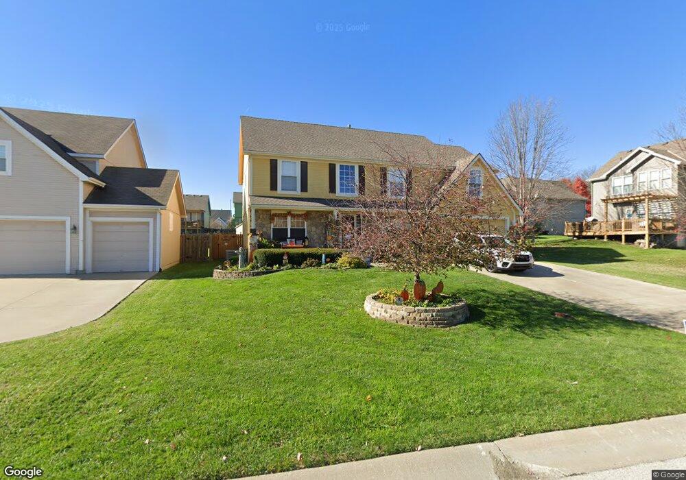
920 Southfork St Lansing, KS 66043
Estimated Value: $391,000 - $403,000
4
Beds
3
Baths
2,677
Sq Ft
$149/Sq Ft
Est. Value
About This Home
This home is located at 920 Southfork St, Lansing, KS 66043 and is currently estimated at $398,393, approximately $148 per square foot. 920 Southfork St is a home located in Leavenworth County with nearby schools including Lansing Elementary School, Lansing Middle 6-8, and Lansing High 9-12.
Ownership History
Date
Name
Owned For
Owner Type
Purchase Details
Closed on
Aug 20, 2010
Sold by
Borderud Scott R and Borderud Carol S
Bought by
Carbrey Peter J and Carbrey Angelica M
Current Estimated Value
Home Financials for this Owner
Home Financials are based on the most recent Mortgage that was taken out on this home.
Original Mortgage
$222,750
Outstanding Balance
$147,259
Interest Rate
4.54%
Mortgage Type
New Conventional
Estimated Equity
$251,134
Create a Home Valuation Report for This Property
The Home Valuation Report is an in-depth analysis detailing your home's value as well as a comparison with similar homes in the area
Home Values in the Area
Average Home Value in this Area
Purchase History
| Date | Buyer | Sale Price | Title Company |
|---|---|---|---|
| Carbrey Peter J | $278,437 | Tri-County Title & Abstract Ll |
Source: Public Records
Mortgage History
| Date | Status | Borrower | Loan Amount |
|---|---|---|---|
| Open | Carbrey Peter J | $222,750 |
Source: Public Records
Tax History Compared to Growth
Tax History
| Year | Tax Paid | Tax Assessment Tax Assessment Total Assessment is a certain percentage of the fair market value that is determined by local assessors to be the total taxable value of land and additions on the property. | Land | Improvement |
|---|---|---|---|---|
| 2025 | $5,823 | $44,809 | $5,553 | $39,256 |
| 2024 | $5,615 | $43,086 | $5,553 | $37,533 |
| 2023 | $5,615 | $43,086 | $5,553 | $37,533 |
| 2022 | $5,398 | $39,169 | $3,467 | $35,702 |
| 2021 | $4,991 | $34,615 | $3,467 | $31,148 |
| 2020 | $4,628 | $31,602 | $3,467 | $28,135 |
| 2019 | $4,566 | $31,142 | $3,467 | $27,675 |
| 2018 | $4,370 | $29,831 | $3,467 | $26,364 |
| 2017 | $4,109 | $28,003 | $3,467 | $24,536 |
| 2016 | $4,070 | $27,726 | $3,467 | $24,259 |
| 2015 | $4,058 | $27,726 | $3,467 | $24,259 |
| 2014 | $3,808 | $26,576 | $3,467 | $23,109 |
Source: Public Records
Map
Nearby Homes
- 922 Southfork St
- 811 4-H Rd
- 527 S Valley Dr
- 104 Olive St
- 866 Clearview Dr
- 875 Clearview Dr
- 1221 S Desoto Rd
- 1322 Rock Creek Ct
- 522 Forestglen Ln
- 833 Rock Creek Dr
- 202 S Main St
- 124 S Main St
- 546 Hithergreen Dr
- 218 E Kay St
- 20958 Ida St
- 521 Hillbrook Dr
- 306 E Kay St
- 129 Crestview Ct
- 310 E Kansas Ave
- 13788 McIntyre1 Rd
- 405 Wyndham Dr
- 407 Wyndham Dr
- 925 Wyndham Dr
- 924 Southfork St
- 927 Wyndham Dr
- 409 Wyndham Dr
- 923 Southfork St
- 929 Wyndham Dr
- 921 Southfork St
- 926 Southfork St
- 403 Wyndham Dr
- 925 Southfork St
- 931 Wyndham Dr
- 928 Southfork St
- 408 Wyndham Dr
- 410 Wyndham Dr
- 406 Wyndham Dr
- 926 Wyndham Dr
- 933 Wyndham Dr
- 904 Allyssa Ct