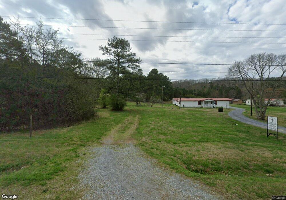
920 Youngs Farm Rd Unit 1046 Cedartown, GA 30125
Estimated Value: $20,186 - $162,000
--
Bed
--
Bath
--
Sq Ft
2
Acres
About This Home
This home is located at 920 Youngs Farm Rd Unit 1046, Cedartown, GA 30125 and is currently estimated at $74,547. 920 Youngs Farm Rd Unit 1046 is a home located in Polk County.
Ownership History
Date
Name
Owned For
Owner Type
Purchase Details
Closed on
May 6, 2015
Sold by
Earp Thomas
Bought by
Kingangi David and Macharia Virginia
Current Estimated Value
Purchase Details
Closed on
Jul 7, 2014
Sold by
Brannon Ronald W
Bought by
Earp Thomas and Earp Jill Diane
Purchase Details
Closed on
Dec 21, 1998
Sold by
Garner Clyde T
Bought by
Brannon Ronald
Purchase Details
Closed on
May 3, 1988
Sold by
Slaughter Lori Ann
Bought by
Garner Clyde T
Purchase Details
Closed on
Sep 1, 1983
Sold by
Southern Land&Cattle
Bought by
Slaughter Lori Ann
Purchase Details
Closed on
Feb 15, 1983
Sold by
Mann Guy W and Mann Peggy T
Bought by
Southern Land&Cattle
Purchase Details
Closed on
Mar 27, 1982
Bought by
Mann Guy W and Mann Peggy T
Create a Home Valuation Report for This Property
The Home Valuation Report is an in-depth analysis detailing your home's value as well as a comparison with similar homes in the area
Home Values in the Area
Average Home Value in this Area
Purchase History
| Date | Buyer | Sale Price | Title Company |
|---|---|---|---|
| Kingangi David | $7,000 | -- | |
| Earp Thomas | $8,000 | -- | |
| Brannon Ronald | $15,000 | -- | |
| Garner Clyde T | -- | -- | |
| Slaughter Lori Ann | -- | -- | |
| Southern Land&Cattle | -- | -- | |
| Mann Guy W | -- | -- |
Source: Public Records
Tax History Compared to Growth
Tax History
| Year | Tax Paid | Tax Assessment Tax Assessment Total Assessment is a certain percentage of the fair market value that is determined by local assessors to be the total taxable value of land and additions on the property. | Land | Improvement |
|---|---|---|---|---|
| 2024 | $95 | $4,541 | $4,541 | $0 |
| 2023 | $108 | $4,541 | $4,541 | $0 |
| 2022 | $72 | $3,027 | $3,027 | $0 |
| 2021 | $73 | $3,027 | $3,027 | $0 |
| 2020 | $73 | $3,027 | $3,027 | $0 |
| 2019 | $81 | $3,027 | $3,027 | $0 |
| 2018 | $83 | $3,027 | $3,027 | $0 |
| 2017 | $82 | $3,027 | $3,027 | $0 |
| 2016 | $76 | $4,180 | $4,180 | $0 |
| 2015 | $87 | $4,180 | $4,180 | $0 |
| 2014 | $115 | $4,180 | $4,180 | $0 |
| 2013 | -- | $4,180 | $4,180 | $0 |
Source: Public Records
Map
Nearby Homes
- 0 Youngs Farm Rd Unit 24829378
- 0 Buchanan Hwy Unit 10558945
- 4550 Buchanan Hwy
- 4267 Buchanan Hwy
- 160 Tate Rd
- 525 Grogan Rd
- 539 Grogan Rd
- 557 Grogan Rd
- 00 Antioch Rd
- 95 Wieuca Way
- 0 Wieuca Way Unit 10614129
- 000 Wieuca Way
- 142 Acres On Judkin Mill Rd
- 766 Antioch Rd
- 00 Buchanan Hwy
- 1987 Buchanan Hwy
- 35 Old Mill Rd
- 7474 Highway 27
- 497 Judkin Mill Rd
- 1870 Tallapoosa Hwy
- 920 Youngs Farm Rd
- 890 Youngs Farm Rd
- 954 Youngs Farm Rd
- 870 Youngs Farm Rd
- 964 Youngs Farm Rd
- 982 Youngs Farm Rd
- 844 Youngs Farm Rd
- 887 Youngs Farm Rd
- 955 Youngs Farm Rd
- 985 Youngs Farm Rd
- 985 Youngs Farm Rd
- 792 Youngs Farm Rd
- 792 Youngs Farm Rd
- 985 Young Farms Rd
- 809 Youngs Farm Rd
- 1025 Youngs Farm Rd
- 1025 Youngs Farm Rd
- 3583 Buchanan Hwy
- 1035 Young Farms Rd
- 3711 Buchanan Hwy