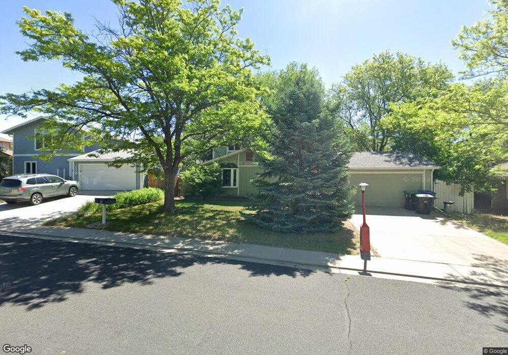
920 Yucca Ct Longmont, CO 80504
Clark Centennial NeighborhoodEstimated Value: $496,000 - $547,000
4
Beds
2
Baths
1,824
Sq Ft
$280/Sq Ft
Est. Value
About This Home
This home is located at 920 Yucca Ct, Longmont, CO 80504 and is currently estimated at $510,501, approximately $279 per square foot. 920 Yucca Ct is a home located in Boulder County with nearby schools including Timberline Pk-8, Skyline High School, and Longmont Christian School.
Ownership History
Date
Name
Owned For
Owner Type
Purchase Details
Closed on
Aug 8, 2006
Sold by
Richardson Keith J and Gleim Janette L
Bought by
Richardson Keith J
Current Estimated Value
Purchase Details
Closed on
Jul 23, 2004
Sold by
Chaffee David John and Chaffee Therese J N
Bought by
Richardson Keith J and Gleim Janette L
Home Financials for this Owner
Home Financials are based on the most recent Mortgage that was taken out on this home.
Original Mortgage
$187,353
Outstanding Balance
$92,370
Interest Rate
6.02%
Mortgage Type
FHA
Estimated Equity
$418,131
Purchase Details
Closed on
Sep 5, 1979
Bought by
Richardson Keith J
Purchase Details
Closed on
May 28, 1976
Bought by
Richardson Keith J
Create a Home Valuation Report for This Property
The Home Valuation Report is an in-depth analysis detailing your home's value as well as a comparison with similar homes in the area
Home Values in the Area
Average Home Value in this Area
Purchase History
| Date | Buyer | Sale Price | Title Company |
|---|---|---|---|
| Richardson Keith J | -- | None Available | |
| Richardson Keith J | $190,000 | Fahtco | |
| Richardson Keith J | $60,000 | -- | |
| Richardson Keith J | $33,000 | -- |
Source: Public Records
Mortgage History
| Date | Status | Borrower | Loan Amount |
|---|---|---|---|
| Open | Richardson Keith J | $187,353 |
Source: Public Records
Tax History Compared to Growth
Tax History
| Year | Tax Paid | Tax Assessment Tax Assessment Total Assessment is a certain percentage of the fair market value that is determined by local assessors to be the total taxable value of land and additions on the property. | Land | Improvement |
|---|---|---|---|---|
| 2025 | $2,781 | $30,088 | $8,319 | $21,769 |
| 2024 | $2,781 | $30,088 | $8,319 | $21,769 |
| 2023 | $2,744 | $29,078 | $9,172 | $23,591 |
| 2022 | $2,438 | $24,637 | $6,901 | $17,736 |
| 2021 | $2,470 | $25,347 | $7,100 | $18,247 |
| 2020 | $2,119 | $21,815 | $6,149 | $15,666 |
| 2019 | $2,086 | $21,815 | $6,149 | $15,666 |
| 2018 | $1,694 | $17,834 | $6,192 | $11,642 |
| 2017 | $1,671 | $19,717 | $6,846 | $12,871 |
| 2016 | $1,511 | $15,809 | $5,413 | $10,396 |
| 2015 | $1,440 | $13,532 | $4,298 | $9,234 |
| 2014 | $1,264 | $13,532 | $4,298 | $9,234 |
Source: Public Records
Map
Nearby Homes
- 884 Elliott St
- 811 Brookside Dr
- 741 Elliott St
- 756 Brookside Dr
- 908 Sugar Mill Ave
- 902 Sugar Mill Ave
- 742 Megan Ct
- 620 Independence Dr
- 712 Pendleton Ave
- 1267 E 9th Ave
- 713 Pendleton Ave
- 619 Brookside Dr
- 618 Silver Star Ct
- 225 E 8th Ave Unit E20
- 225 E 8th Ave Unit A2
- 225 E 8th Ave Unit E10
- 575 Brookside Dr
- 829 Independence Dr
- 1245 Trail Ridge Rd
- 1310 Hilltop Dr