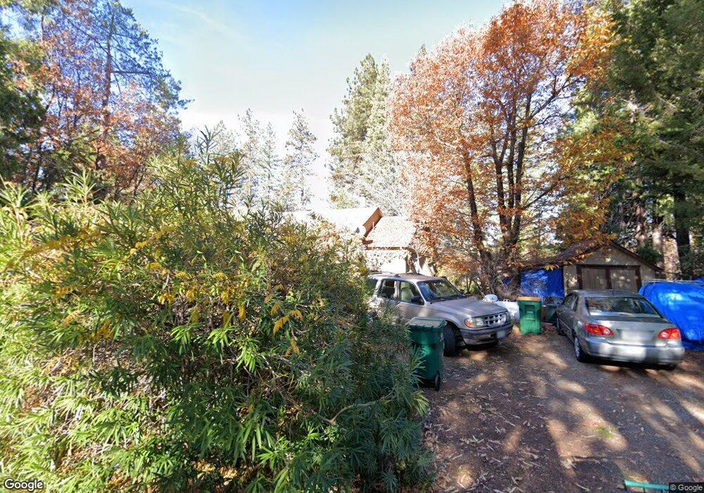
9200 Mosquito Rd Placerville, CA 95667
Estimated Value: $363,000 - $430,000
3
Beds
2
Baths
1,368
Sq Ft
$289/Sq Ft
Est. Value
About This Home
This home is located at 9200 Mosquito Rd, Placerville, CA 95667 and is currently estimated at $394,804, approximately $288 per square foot. 9200 Mosquito Rd is a home located in El Dorado County with nearby schools including Camino Elementary School, El Dorado High School, and El Dorado Adventist School.
Ownership History
Date
Name
Owned For
Owner Type
Purchase Details
Closed on
Jun 9, 2010
Sold by
Pillsbury Eleanor
Bought by
Brigance Kathie
Current Estimated Value
Purchase Details
Closed on
Apr 22, 2010
Sold by
Pillsbury Sherilyn and Thompson Travis
Bought by
Pillsbury Eleanor
Purchase Details
Closed on
Jan 14, 2000
Sold by
Pillsbury Arthur W and Pillsbury Arthur W
Bought by
Pillsbury Arthur W and Arthur W Pillsbury Family 1980
Create a Home Valuation Report for This Property
The Home Valuation Report is an in-depth analysis detailing your home's value as well as a comparison with similar homes in the area
Home Values in the Area
Average Home Value in this Area
Purchase History
| Date | Buyer | Sale Price | Title Company |
|---|---|---|---|
| Brigance Kathie | -- | None Available | |
| Pillsbury Eleanor | -- | None Available | |
| Pillsbury Arthur W | -- | -- |
Source: Public Records
Tax History Compared to Growth
Tax History
| Year | Tax Paid | Tax Assessment Tax Assessment Total Assessment is a certain percentage of the fair market value that is determined by local assessors to be the total taxable value of land and additions on the property. | Land | Improvement |
|---|---|---|---|---|
| 2025 | $1,126 | $110,415 | $27,715 | $82,700 |
| 2024 | $1,126 | $108,251 | $27,172 | $81,079 |
| 2023 | $1,102 | $106,130 | $26,640 | $79,490 |
| 2022 | $1,086 | $104,050 | $26,118 | $77,932 |
| 2021 | $1,070 | $102,010 | $25,606 | $76,404 |
| 2020 | $1,056 | $100,965 | $25,344 | $75,621 |
| 2019 | $1,039 | $98,987 | $24,848 | $74,139 |
| 2018 | $1,009 | $97,047 | $24,361 | $72,686 |
| 2017 | $989 | $95,145 | $23,884 | $71,261 |
| 2016 | $976 | $93,280 | $23,416 | $69,864 |
| 2015 | $919 | $91,880 | $23,065 | $68,815 |
| 2014 | $919 | $90,082 | $22,614 | $67,468 |
Source: Public Records
Map
Nearby Homes
- 1421 Highland Ct
- 9425 Mosquito Rd
- 2399 Kingsgate Rd
- 2451 Kingsgate Rd
- 0 Mona Ave
- 2655 Mona Dr
- 2689 Morrene Dr
- 1110 Madrone Ln
- 1072 Champagne Ln
- 2771 Morrene Dr
- 1049 Kimi Way
- 2095 Wild Goose Canyon Rd
- 2500 Gold Bug Ln
- 1015 Utah Dr
- 1011 Utah Dr
- 7161 Kona Dr
- 2940 Anderson Way
- 1001 Utah Dr
- Plan 2 at Sutter’s Ridge
- 2360 Union Ridge Rd
- 9192 Mosquito Rd
- 9208 Mosquito Rd
- 9186 Mosquito Rd
- 9216 Mosquito Rd
- 2075 Flat Broke Way
- 9209 Mosquito Rd
- 9217 Mosquito Rd
- 1630 Highland Dr
- 9160 Mosquito Rd
- 9231 Mosquito Rd
- 2094 Hideaway Ranch Rd
- 1611 Highland Dr
- 2101 Flat Broke Way
- 2090 Hideaway Ranch Rd
- 1601 Highland Dr
- 1605 Highland Dr
- 1581 Highland Dr
- 1684 Union Ridge Rd
- 1675 Union Ridge Rd
- 9140 Mosquito Rd