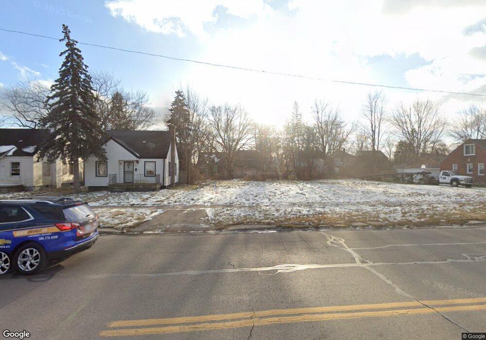
9205 Morang Dr Detroit, MI 48224
Yorkshire Woods NeighborhoodEstimated Value: $98,000 - $112,000
4
Beds
2
Baths
1,378
Sq Ft
$76/Sq Ft
Est. Value
About This Home
This home is located at 9205 Morang Dr, Detroit, MI 48224 and is currently estimated at $105,000, approximately $76 per square foot. 9205 Morang Dr is a home located in Wayne County with nearby schools including Carleton Elementary School, Edward 'Duke' Ellington Conservatory of Music and Art, and Charles L. Spain Elementary-Middle School.
Ownership History
Date
Name
Owned For
Owner Type
Purchase Details
Closed on
May 19, 2014
Sold by
The City Of Detroit
Bought by
The Detroit Land Bank Authority
Current Estimated Value
Purchase Details
Closed on
Feb 7, 2013
Sold by
Wayne County Treasurer
Bought by
Planning & Development Dept City Of Detr
Purchase Details
Closed on
May 21, 2009
Sold by
Federal National Mortgage Association
Bought by
Fat Mamas Real Estate Llc
Purchase Details
Closed on
Apr 18, 2008
Sold by
Central Mortgage Co
Bought by
Federal National Mortgage Association
Purchase Details
Closed on
Oct 25, 2007
Sold by
Rau Joseph E and Rau Dawn E
Bought by
Central Mortgage Co
Create a Home Valuation Report for This Property
The Home Valuation Report is an in-depth analysis detailing your home's value as well as a comparison with similar homes in the area
Home Values in the Area
Average Home Value in this Area
Purchase History
| Date | Buyer | Sale Price | Title Company |
|---|---|---|---|
| The Detroit Land Bank Authority | -- | None Available | |
| Planning & Development Dept City Of Detr | -- | None Available | |
| Fat Mamas Real Estate Llc | $2,000 | Warranty Title Agency Llc | |
| Federal National Mortgage Association | -- | None Available | |
| Central Mortgage Co | $96,052 | None Available |
Source: Public Records
Tax History Compared to Growth
Tax History
| Year | Tax Paid | Tax Assessment Tax Assessment Total Assessment is a certain percentage of the fair market value that is determined by local assessors to be the total taxable value of land and additions on the property. | Land | Improvement |
|---|---|---|---|---|
| 2025 | -- | $0 | $0 | $0 |
| 2024 | -- | $0 | $0 | $0 |
| 2023 | $0 | $0 | $0 | $0 |
| 2022 | -- | $0 | $0 | $0 |
| 2021 | $0 | $0 | $0 | $0 |
| 2020 | $0 | $0 | $0 | $0 |
| 2019 | $1,895 | $0 | $0 | $0 |
| 2018 | $0 | $0 | $0 | $0 |
| 2017 | $0 | $0 | $0 | $0 |
| 2016 | $0 | $0 | $0 | $0 |
| 2015 | $2,235 | $0 | $0 | $0 |
| 2013 | $2,235 | $22,345 | $0 | $0 |
| 2010 | -- | $32,760 | $1,239 | $31,521 |
Source: Public Records
Map
Nearby Homes
- 9140 Woodhall St
- 9212 Woodhall St
- 9166 Guilford St
- 10400 Duprey St
- 10436 Duprey St
- 6326 Neff Ave
- 6303 Guilford St
- 10088 Britain St
- 10593 Marne St
- 6230 Oldtown St
- 9160 Boleyn St
- 10728 Worden St
- 6231 University Place
- 6160 Neff Ave
- 8850 Farmbrook St
- 10311 Britain St
- 6145 Guilford St
- 10825 Worden St
- 10853 Marne St
- 10799 Worden St
- 9213 Morang Dr
- 9155 Morang Dr
- 9145 Morang Dr
- 9221 Morang Dr
- 9229 Morang Dr
- 9148 Woodhall St
- 9137 Morang Dr
- 9156 Woodhall St
- 9243 Morang Dr
- 9170 Woodhall St
- 9203 Camley St
- 9178 Woodhall St
- 9253 Morang Dr Unit Bldg-Unit
- 9253 Morang Dr
- 9300 Sanilac St
- 9184 Woodhall St
- 9215 Camley St
- 9190 Woodhall St
- 9303 Morang Dr
- 9314 Sanilac St