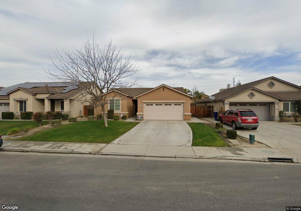
9206 Cadbury Dr Bakersfield, CA 93311
Campus Park NeighborhoodEstimated Value: $391,000 - $465,000
3
Beds
2
Baths
1,512
Sq Ft
$276/Sq Ft
Est. Value
About This Home
This home is located at 9206 Cadbury Dr, Bakersfield, CA 93311 and is currently estimated at $417,454, approximately $276 per square foot. 9206 Cadbury Dr is a home with nearby schools including Sing Lum Elementary School, Tevis Junior High School, and Independence High School.
Ownership History
Date
Name
Owned For
Owner Type
Purchase Details
Closed on
Apr 8, 2016
Sold by
Cox Bruce Wayne and Cox Madaline Diane
Bought by
The Bruce August 15 2006
Current Estimated Value
Purchase Details
Closed on
Nov 1, 2012
Sold by
Lennar Homes Of California Inc
Bought by
Cox Bruce Wayne and Cox Madaline Diane
Home Financials for this Owner
Home Financials are based on the most recent Mortgage that was taken out on this home.
Original Mortgage
$123,590
Interest Rate
3.33%
Create a Home Valuation Report for This Property
The Home Valuation Report is an in-depth analysis detailing your home's value as well as a comparison with similar homes in the area
Home Values in the Area
Average Home Value in this Area
Purchase History
| Date | Buyer | Sale Price | Title Company |
|---|---|---|---|
| The Bruce August 15 2006 | -- | None Available | |
| Cox Bruce Wayne | $207,000 | North American Title Company |
Source: Public Records
Mortgage History
| Date | Status | Borrower | Loan Amount |
|---|---|---|---|
| Previous Owner | Cox Bruce Wayne | $123,590 |
Source: Public Records
Tax History Compared to Growth
Tax History
| Year | Tax Paid | Tax Assessment Tax Assessment Total Assessment is a certain percentage of the fair market value that is determined by local assessors to be the total taxable value of land and additions on the property. | Land | Improvement |
|---|---|---|---|---|
| 2025 | $3,767 | $251,198 | $49,250 | $201,948 |
| 2024 | $3,699 | $246,274 | $48,285 | $197,989 |
| 2023 | $3,699 | $241,446 | $47,339 | $194,107 |
| 2022 | $3,549 | $236,712 | $46,411 | $190,301 |
| 2021 | $3,425 | $232,071 | $45,501 | $186,570 |
| 2020 | $3,420 | $229,692 | $45,035 | $184,657 |
| 2019 | $3,325 | $229,692 | $45,035 | $184,657 |
| 2018 | $3,188 | $220,775 | $43,287 | $177,488 |
| 2017 | $3,132 | $216,447 | $42,439 | $174,008 |
| 2016 | $2,956 | $212,204 | $41,607 | $170,597 |
| 2015 | $2,937 | $209,018 | $40,983 | $168,035 |
| 2014 | $2,807 | $204,925 | $40,181 | $164,744 |
Source: Public Records
Map
Nearby Homes
- 9009 Coulter Ct
- 9320 Cadbury Dr
- 9114 Centennial Star Dr
- 9415 Tahiti Ave
- 9608 Lacroix Ct
- 9326 Cousteau Ave
- 9008 Heely Ct
- 9907 Cobblestone Ave Unit 3
- 10015 Saint Albans Ave
- 9209 Campus Park Ct
- 9408 Nickam Ct
- 9909 Grey Goose St
- 10016 Cobblestone Ave
- 9420 Coney Island Dr
- 9813 Fitzgerald Dr
- 5315 Mountain Plover Ave
- 9609 Salinger St
- 10113 Saint Albans Ave
- 9905 Tungsten St
- 9403 Metropolitan Way
- 9210 Cadbury Dr
- 9202 Cadbury Dr
- 9214 Cadbury Dr
- 9104 Cadbury Dr
- 9115 Whitman Ave
- 9111 Whitman Ave
- 9201 Whitman Ave
- 9205 Whitman Ave
- 9218 Cadbury Dr
- 9203 Cadbury Dr
- 9100 Cadbury Dr
- 9107 Whitman Ave
- 9211 Cadbury Dr
- 9103 Whitman Ave
- 9209 Whitman Ave
- 9215 Cadbury Dr
- 9222 Cadbury Dr
- 9101 Cadbury Dr
- 9213 Whitman Ave
- 9219 Cadbury Dr