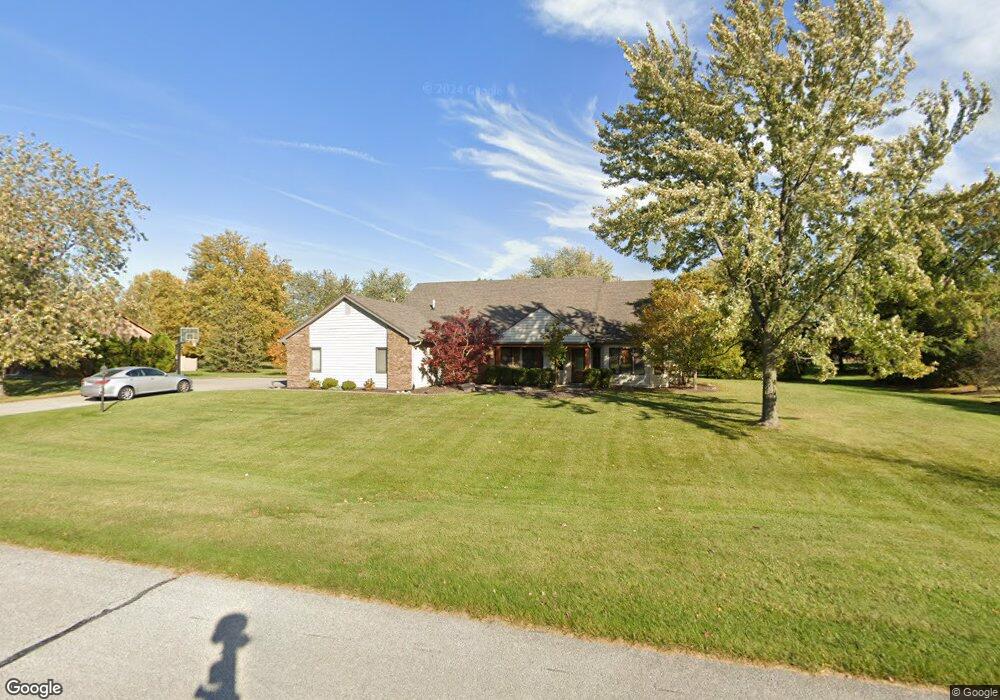
9208 Laurel Hurst Fort Wayne, IN 46835
Northeast Fort Wayne NeighborhoodEstimated Value: $355,000 - $469,000
4
Beds
2
Baths
3,384
Sq Ft
$123/Sq Ft
Est. Value
About This Home
This home is located at 9208 Laurel Hurst, Fort Wayne, IN 46835 and is currently estimated at $416,740, approximately $123 per square foot. 9208 Laurel Hurst is a home located in Allen County with nearby schools including Arlington Elementary School, Jefferson Middle School, and Northrop High School.
Ownership History
Date
Name
Owned For
Owner Type
Purchase Details
Closed on
Jul 15, 2005
Sold by
Mangano Linn M
Bought by
Waldron Christopher and Waldron Stephanie
Current Estimated Value
Home Financials for this Owner
Home Financials are based on the most recent Mortgage that was taken out on this home.
Original Mortgage
$138,500
Interest Rate
5.89%
Mortgage Type
Fannie Mae Freddie Mac
Create a Home Valuation Report for This Property
The Home Valuation Report is an in-depth analysis detailing your home's value as well as a comparison with similar homes in the area
Home Values in the Area
Average Home Value in this Area
Purchase History
| Date | Buyer | Sale Price | Title Company |
|---|---|---|---|
| Waldron Christopher | -- | Metropolitan Title In Llc |
Source: Public Records
Mortgage History
| Date | Status | Borrower | Loan Amount |
|---|---|---|---|
| Previous Owner | Waldron Christopher | $138,500 |
Source: Public Records
Tax History Compared to Growth
Tax History
| Year | Tax Paid | Tax Assessment Tax Assessment Total Assessment is a certain percentage of the fair market value that is determined by local assessors to be the total taxable value of land and additions on the property. | Land | Improvement |
|---|---|---|---|---|
| 2024 | $3,354 | $300,300 | $58,700 | $241,600 |
| 2023 | $3,324 | $290,700 | $58,700 | $232,000 |
| 2022 | $3,027 | $267,000 | $58,700 | $208,300 |
| 2021 | $2,623 | $233,600 | $56,100 | $177,500 |
| 2020 | $2,525 | $227,700 | $56,100 | $171,600 |
| 2019 | $2,318 | $210,300 | $56,100 | $154,200 |
| 2018 | $2,334 | $210,300 | $56,100 | $154,200 |
| 2017 | $2,285 | $204,200 | $56,100 | $148,100 |
| 2016 | $2,178 | $199,800 | $56,100 | $143,700 |
| 2014 | $2,007 | $193,900 | $56,100 | $137,800 |
| 2013 | $1,932 | $187,000 | $56,100 | $130,900 |
Source: Public Records
Map
Nearby Homes
- 4920 Wheelock Rd
- 9619 Maysville Rd
- 4124 Cadena Ln
- 10206 Maysville Rd
- 5630 Cutters Creek
- 8413 Sagimore Ct
- 8109 Imperial Plaza Dr
- 3641 Cardinal Ln
- 9510 Skipjack Cove
- 5134 W Arlington Park Blvd
- 8308 Chapel Bend Dr
- 3310 Brantley Dr
- 6223 Treasure Cove
- 6015 Running Brook Ln
- 7617 Arabian Ct
- 4027 Nantucket Dr
- 7604 Trotters Chase Ln
- 3910 Nantucket Dr
- 6329 Treasure Cove
- 6326 Treasure Cove
- 9216 Laurel Hurst
- 9202 Laurel Hurst
- 9213 Laurel Hurst
- 9205 Laurel Hurst
- 9224 Laurel Hurst
- 9136 Laurel Hurst
- 9219 Laurel Hurst
- 9225 Laurel Hurst
- 4628 Wheelock Rd
- 9124 Laurel Hurst
- 4708 Wheelock Rd
- 4522 Wheelock Rd
- 4731 Creek Ridge Place
- 4720 Wheelock Rd
- 9112 Laurel Hurst
- 9105 Laurel Hurst
- 4707 Wheatridge Rd
- 4514 Wheelock Rd
- 4726 Wheelock Rd
- 4724 Creek Ridge Place