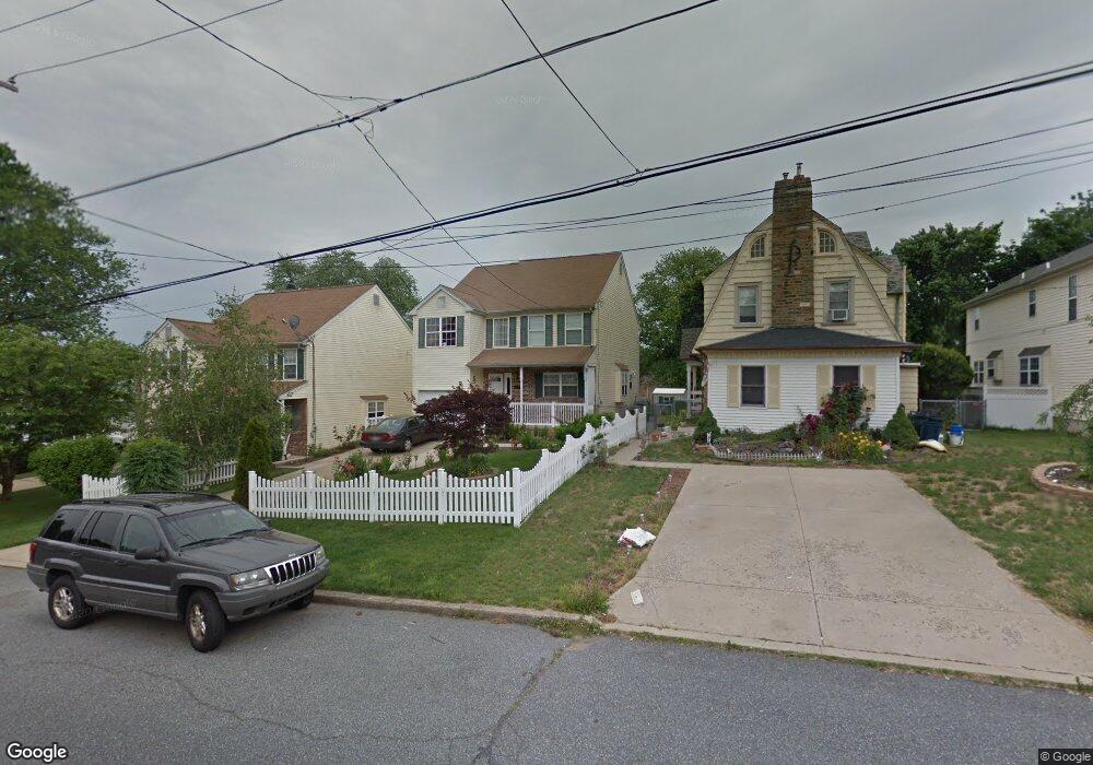
9208 Old Newtown Rd Philadelphia, PA 19115
Bustleton NeighborhoodEstimated Value: $450,000 - $649,000
4
Beds
2
Baths
2,000
Sq Ft
$265/Sq Ft
Est. Value
About This Home
This home is located at 9208 Old Newtown Rd, Philadelphia, PA 19115 and is currently estimated at $530,293, approximately $265 per square foot. 9208 Old Newtown Rd is a home located in Philadelphia County with nearby schools including Frank Anne School, CCA Baldi Middle School, and George Washington High School.
Create a Home Valuation Report for This Property
The Home Valuation Report is an in-depth analysis detailing your home's value as well as a comparison with similar homes in the area
Home Values in the Area
Average Home Value in this Area
Tax History Compared to Growth
Tax History
| Year | Tax Paid | Tax Assessment Tax Assessment Total Assessment is a certain percentage of the fair market value that is determined by local assessors to be the total taxable value of land and additions on the property. | Land | Improvement |
|---|---|---|---|---|
| 2025 | $5,784 | $542,500 | $108,500 | $434,000 |
| 2024 | $5,784 | $542,500 | $108,500 | $434,000 |
| 2023 | $5,784 | $413,200 | $82,640 | $330,560 |
| 2022 | $4,195 | $368,200 | $82,640 | $285,560 |
| 2021 | $4,825 | $0 | $0 | $0 |
| 2020 | $4,825 | $0 | $0 | $0 |
| 2019 | $4,621 | $0 | $0 | $0 |
| 2018 | $4,134 | $0 | $0 | $0 |
| 2017 | $4,134 | $0 | $0 | $0 |
| 2016 | $3,714 | $0 | $0 | $0 |
| 2015 | $3,555 | $0 | $0 | $0 |
| 2014 | -- | $295,300 | $138,138 | $157,162 |
| 2012 | -- | $44,544 | $8,748 | $35,796 |
Source: Public Records
Map
Nearby Homes
- 2089 Welsh Rd Unit F1
- 2089 Welsh Rd Unit J1
- 2089 Welsh Rd Unit F2
- 2131 Welsh Rd Unit 312
- 2131 Welsh Rd Unit 315
- 9117 Bustleton Ave
- 1611 Gregg St
- 1608 Colima Rd
- 1926 Beyer Ave
- 9331 Banes St Unit B
- 8835 Winchester Ave
- 8908 Fairfield St
- 217 Louis Ct Unit K217
- 1700 Tracey St Unit A
- 8563 Benton Ave
- 75 Bonnie Gellman Ct Unit D75
- 8816 Bradford St
- 8562 Benton Ave
- 115 Benjamin Ct Unit F115
- 48 Bonnie Gellman Ct Unit B48
- 9206 Old Newtown Rd
- 9210 Old Newtown Rd
- 9212 Old Newtown Rd
- 9204 Old Newtown Rd
- 9214 Old Newtown Rd
- 9216 Old Newtown Rd
- 9096 Diplomat Place
- 9202 Old Newtown Rd
- 9098 Diplomat Place
- 9218 Old Newtown Rd
- 9100 Diplomat Place
- 9215 Old Newtown Rd
- 9215 Old Newtown Rd Unit 2
- 1819 Gregg St
- 9213 Old Newtown Rd Unit 1
- 9213 Old Newtown Rd
- 1819-25 Gregg St
- 9227 Old Newtown Rd
- 9102 Diplomat Place
- 9229 Old Newtown Rd