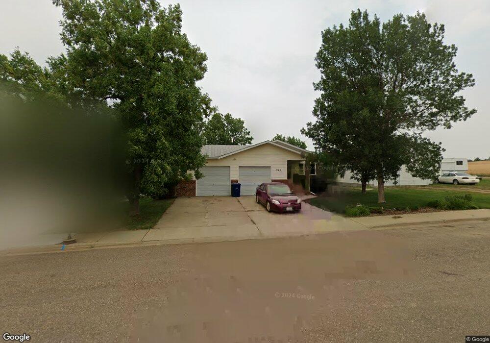
921 14th Ave E Dickinson, ND 58601
Estimated Value: $372,000 - $429,534
3
Beds
2
Baths
1,228
Sq Ft
$328/Sq Ft
Est. Value
About This Home
This home is located at 921 14th Ave E, Dickinson, ND 58601 and is currently estimated at $402,845, approximately $328 per square foot. 921 14th Ave E is a home located in Stark County with nearby schools including Trinity Elementary School East.
Ownership History
Date
Name
Owned For
Owner Type
Purchase Details
Closed on
Feb 15, 2018
Sold by
Tim Beaudoin
Bought by
Pollock Larry and Wald Cara
Current Estimated Value
Home Financials for this Owner
Home Financials are based on the most recent Mortgage that was taken out on this home.
Original Mortgage
$235,580
Outstanding Balance
$199,209
Interest Rate
4.38%
Estimated Equity
$203,636
Purchase Details
Closed on
Aug 15, 2013
Sold by
Beaudoin Wallace E and Beaudoin Helen M
Bought by
Beaudoin Wallace E
Create a Home Valuation Report for This Property
The Home Valuation Report is an in-depth analysis detailing your home's value as well as a comparison with similar homes in the area
Home Values in the Area
Average Home Value in this Area
Purchase History
| Date | Buyer | Sale Price | Title Company |
|---|---|---|---|
| Pollock Larry | -- | -- | |
| Beaudoin Wallace E | -- | None Available |
Source: Public Records
Mortgage History
| Date | Status | Borrower | Loan Amount |
|---|---|---|---|
| Open | Pollock Larry | $235,580 | |
| Closed | Pollock Larry | -- |
Source: Public Records
Tax History
| Year | Tax Paid | Tax Assessment Tax Assessment Total Assessment is a certain percentage of the fair market value that is determined by local assessors to be the total taxable value of land and additions on the property. | Land | Improvement |
|---|---|---|---|---|
| 2025 | $2,502 | $318,400 | $49,000 | $269,400 |
| 2024 | $3,585 | $318,400 | $49,000 | $269,400 |
| 2023 | $3,157 | $318,400 | $49,000 | $269,400 |
| 2022 | $3,000 | $150,750 | $0 | $0 |
| 2021 | $2,945 | $286,300 | $49,000 | $237,300 |
| 2020 | $2,986 | $286,300 | $49,000 | $237,300 |
| 2019 | $2,994 | $286,300 | $49,000 | $237,300 |
| 2017 | $1,905 | $242,300 | $49,000 | $193,300 |
| 2015 | $1,905 | $217,600 | $23,900 | $193,700 |
| 2014 | $1,041 | $210,100 | $23,900 | $186,200 |
| 2013 | -- | $202,700 | $23,900 | $178,800 |
Source: Public Records
Map
Nearby Homes
- 0 14th Ave E Unit 24-492
- 1377 8th St E
- 0 17 65 Acres
- 0 9th St E
- 1161 6th St E
- 881 Mustang Ave
- 390 Baker Ave
- 1163 Lincoln St
- 986 Mustang Ave
- 930 Shinagle Dr
- 977 Shinagle Dr
- 914 Pheasant Run Ave
- 759 8th Ave E
- 858 Elm Ave
- 891 Dell Ave
- 973 Dell Ave
- 847 11th St E
- 873 25th Ave E
- 0 7th Ave E
- 0 Lot 1 Block 5 East Dale 4th Unit 25-1094
- 917 14th Ave E
- 926 Baker Ave
- 913 14th Ave E
- 920 Baker Ave
- 0 14th Ave E Unit 25-201
- 0 14th Ave E Unit 16-151
- 0 14th Ave E Unit 24-143
- 0 14th Ave E Unit 23-82
- 922 14th Ave E
- 1381 9th St E
- 921 Baker Ave
- 1429 9th St E
- 917 Baker Ave
- 1369 9th St E
- 1479 9th St E
- 922 13th Ave E
- 926 13th Ave E
- 1343 9th St E
- 1386 9th St E
- 912 13th Ave E
Your Personal Tour Guide
Ask me questions while you tour the home.