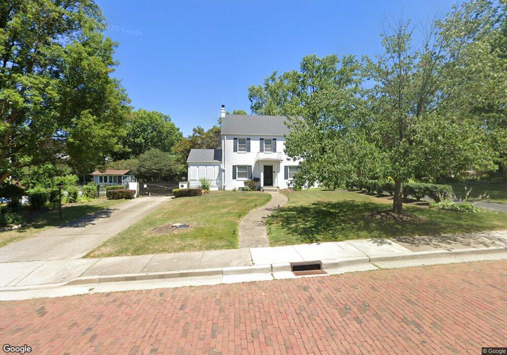
921 22nd St NE Canton, OH 44714
Colonial Heights NeighborhoodEstimated Value: $74,000 - $137,000
--
Bed
--
Bath
396
Sq Ft
$266/Sq Ft
Est. Value
About This Home
This home is located at 921 22nd St NE, Canton, OH 44714 and is currently estimated at $105,500, approximately $266 per square foot. 921 22nd St NE is a home located in Stark County with nearby schools including Belle Stone Elementary School, Early Learning Center @ Schreiber, and Youtz Intermediate School.
Ownership History
Date
Name
Owned For
Owner Type
Purchase Details
Closed on
Dec 29, 2023
Sold by
Brock Wayne A and Brock Jacklyn
Bought by
Givens Katrina
Current Estimated Value
Home Financials for this Owner
Home Financials are based on the most recent Mortgage that was taken out on this home.
Original Mortgage
$270,019
Outstanding Balance
$265,589
Interest Rate
7.29%
Mortgage Type
FHA
Estimated Equity
-$160,089
Purchase Details
Closed on
Oct 30, 2013
Sold by
Lilenfield Irwin
Bought by
Lilenfield Irwin and The Irwin Lilenfield Revocable Trust
Purchase Details
Closed on
Jan 22, 2004
Sold by
Lilenfield Irwin and Lilenfield Ruth Darlene
Bought by
Lilenfield Ruth D and The Ruth D Lilenfield Trust
Create a Home Valuation Report for This Property
The Home Valuation Report is an in-depth analysis detailing your home's value as well as a comparison with similar homes in the area
Home Values in the Area
Average Home Value in this Area
Purchase History
| Date | Buyer | Sale Price | Title Company |
|---|---|---|---|
| Givens Katrina | $275,000 | Patriot Title | |
| Lilenfield Irwin | -- | None Available | |
| Lilenfield Ruth D | -- | -- |
Source: Public Records
Mortgage History
| Date | Status | Borrower | Loan Amount |
|---|---|---|---|
| Open | Givens Katrina | $270,019 |
Source: Public Records
Tax History Compared to Growth
Tax History
| Year | Tax Paid | Tax Assessment Tax Assessment Total Assessment is a certain percentage of the fair market value that is determined by local assessors to be the total taxable value of land and additions on the property. | Land | Improvement |
|---|---|---|---|---|
| 2025 | -- | $11,480 | $9,100 | $2,380 |
| 2024 | -- | $11,480 | $9,100 | $2,380 |
| 2023 | $716 | $11,730 | $8,750 | $2,980 |
| 2022 | $700 | $11,730 | $8,750 | $2,980 |
| 2021 | $707 | $11,730 | $8,750 | $2,980 |
| 2020 | $661 | $9,910 | $7,530 | $2,380 |
| 2019 | $585 | $9,920 | $7,530 | $2,390 |
| 2018 | $589 | $9,920 | $7,530 | $2,390 |
| 2017 | $631 | $9,770 | $7,280 | $2,490 |
| 2016 | $559 | $8,620 | $6,410 | $2,210 |
| 2015 | $562 | $8,620 | $6,410 | $2,210 |
| 2014 | $671 | $9,670 | $7,180 | $2,490 |
| 2013 | $322 | $9,670 | $7,180 | $2,490 |
Source: Public Records
Map
Nearby Homes
- 908 22nd St NE
- 2219 Rowland Ave NE
- 0 Rowland Ave NE Unit 5089960
- 918 19th St NE
- 1220 25th St NE
- 2216 University Ave NW
- 1126 18th St NE
- 1115 Colonial Blvd NE
- 1734 Rowland Ave NE
- 1513 22nd St NE
- 802 17th St NE
- 1219 17th St NE
- 206 21st St NW
- 1321 Warrick Place NE
- 1210 17th St NE
- 1202 28th St NE
- 808 29th St NE
- 708 29th St NE
- 2510 Gross Ave NE
- 253 23rd St NW
- 921 22nd St NE
- 1005 22nd St NE
- 1011 22nd St NE
- 907 22nd St NE
- 920 24th St NE
- 1004 24th St NE
- 1019 22nd St NE
- 901 22nd St NE
- 1000 22nd St NE
- 910 24th St NE
- 914 22nd St NE
- 1004 22nd St NE
- 1010 24th St NE
- 900 24th St NE
- 1010 22nd St NE
- 900 22nd St NE
- 805 22nd St NE
- 1103 22nd St NE
- 814 24th St NE
- 1005 21st St NE