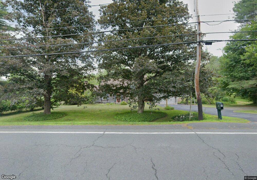
921 Bernardston Rd Greenfield, MA 01301
Estimated Value: $498,000 - $575,000
3
Beds
3
Baths
2,207
Sq Ft
$238/Sq Ft
Est. Value
About This Home
This home is located at 921 Bernardston Rd, Greenfield, MA 01301 and is currently estimated at $525,340, approximately $238 per square foot. 921 Bernardston Rd is a home located in Franklin County with nearby schools including Greenfield Center School, Cornerstone Christian School, and Stoneleigh-Burnham School.
Ownership History
Date
Name
Owned For
Owner Type
Purchase Details
Closed on
Apr 12, 2016
Sold by
Devlin Patrick J and Ballard Lynne K
Bought by
Int Ballard-Devlin
Current Estimated Value
Purchase Details
Closed on
Jun 22, 1998
Sold by
Elizabeth A Rice T and Rice Donald N
Bought by
Ballard Lynne K and Delvin Patrick J
Home Financials for this Owner
Home Financials are based on the most recent Mortgage that was taken out on this home.
Original Mortgage
$55,000
Interest Rate
7.09%
Mortgage Type
Purchase Money Mortgage
Create a Home Valuation Report for This Property
The Home Valuation Report is an in-depth analysis detailing your home's value as well as a comparison with similar homes in the area
Home Values in the Area
Average Home Value in this Area
Purchase History
| Date | Buyer | Sale Price | Title Company |
|---|---|---|---|
| Int Ballard-Devlin | -- | -- | |
| Ballard-Devlin Int | -- | -- | |
| Ballard Lynne K | $189,100 | -- | |
| Ballard Lynne K | $189,100 | -- |
Source: Public Records
Mortgage History
| Date | Status | Borrower | Loan Amount |
|---|---|---|---|
| Previous Owner | Ballard Lynne K | $55,000 |
Source: Public Records
Tax History Compared to Growth
Tax History
| Year | Tax Paid | Tax Assessment Tax Assessment Total Assessment is a certain percentage of the fair market value that is determined by local assessors to be the total taxable value of land and additions on the property. | Land | Improvement |
|---|---|---|---|---|
| 2025 | $8,129 | $415,600 | $108,100 | $307,500 |
| 2024 | $8,191 | $401,700 | $98,000 | $303,700 |
| 2023 | $7,394 | $376,300 | $98,000 | $278,300 |
| 2022 | $7,221 | $323,500 | $93,600 | $229,900 |
| 2021 | $6,722 | $289,500 | $91,200 | $198,300 |
| 2020 | $6,478 | $282,500 | $91,200 | $191,300 |
| 2019 | $6,075 | $271,700 | $80,400 | $191,300 |
| 2018 | $6,013 | $268,100 | $78,800 | $189,300 |
| 2017 | $5,826 | $268,100 | $78,800 | $189,300 |
| 2016 | $6,024 | $276,200 | $77,600 | $198,600 |
| 2015 | $5,814 | $258,300 | $75,600 | $182,700 |
| 2014 | $5,330 | $259,600 | $75,600 | $184,000 |
Source: Public Records
Map
Nearby Homes
- 31 Lovers Ln
- 971 Bernardston Rd
- 793 Bernardston Rd
- 001 Adams Rd
- 72 Meadowood Dr
- Lot 16 Country Club Rd
- 34 Brookside Ave
- 79 Burnham Rd
- 16 Coolidge Ave
- 87 Oakland St
- 83 Eden Trail Branch
- 44 Wildwood Ave
- 2 G St
- 187 L St
- 14 Warner St
- 18 Crocker Ave
- 29 Unity St
- 335 Federal St
- 35-37 Shattuck St
- 35 Shattuck St Unit 37
- 924 Bernardston Rd
- 907 Bernardston Rd
- 930 Bernardston Rd
- 908 Bernardston Rd
- 9 Lovers Ln
- 946 Bernardston Rd
- 898 Bernardston Rd
- 16 Lovers Ln
- 890 Bernardston Rd
- 887 Bernardston Rd
- 950 Bernardston Rd
- 43 Lovers Ln
- 30 Lovers Ln
- 948 Bernardston Rd
- 40 Lovers Ln
- 879 Bernardston Rd
- 878 Bernardston Rd
- 51 Lovers Ln
- 966 Bernardston Rd
- 54 Lovers Ln