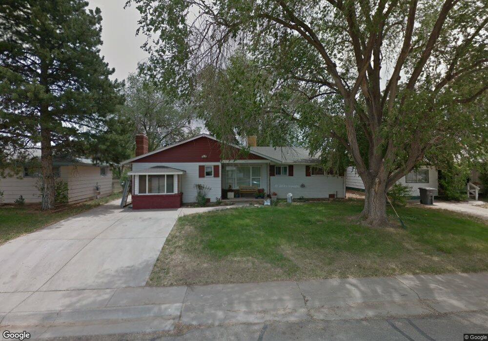
921 Brookside Dr Cortez, CO 81321
Estimated Value: $283,000 - $328,000
3
Beds
1
Bath
1,851
Sq Ft
$165/Sq Ft
Est. Value
About This Home
This home is located at 921 Brookside Dr, Cortez, CO 81321 and is currently estimated at $305,678, approximately $165 per square foot. 921 Brookside Dr is a home with nearby schools including Montezuma-Cortez High School, Children's Kiva Montessori School, and Southwest Open Charter School.
Ownership History
Date
Name
Owned For
Owner Type
Purchase Details
Closed on
Dec 19, 2005
Sold by
Carter Robert R and Delaney Glenda M
Bought by
Horner Diane P
Current Estimated Value
Home Financials for this Owner
Home Financials are based on the most recent Mortgage that was taken out on this home.
Original Mortgage
$113,400
Outstanding Balance
$63,448
Interest Rate
6.29%
Mortgage Type
New Conventional
Estimated Equity
$242,230
Purchase Details
Closed on
Apr 5, 2001
Sold by
Miller Leon T and Miller Joanne W
Bought by
Miller Joanne Willai Trustee
Create a Home Valuation Report for This Property
The Home Valuation Report is an in-depth analysis detailing your home's value as well as a comparison with similar homes in the area
Purchase History
| Date | Buyer | Sale Price | Title Company |
|---|---|---|---|
| Horner Diane P | $126,000 | None Available | |
| Miller Joanne Willai Trustee | -- | -- | |
| -- | -- | -- | |
| Carter Robert R | $73,000 | -- |
Source: Public Records
Mortgage History
| Date | Status | Borrower | Loan Amount |
|---|---|---|---|
| Open | Horner Diane P | $113,400 |
Source: Public Records
Tax History
| Year | Tax Paid | Tax Assessment Tax Assessment Total Assessment is a certain percentage of the fair market value that is determined by local assessors to be the total taxable value of land and additions on the property. | Land | Improvement |
|---|---|---|---|---|
| 2024 | $1,214 | $17,344 | $2,244 | $15,100 |
| 2023 | $891 | $21,722 | $2,810 | $18,912 |
| 2022 | $714 | $14,773 | $1,283 | $13,490 |
| 2021 | $727 | $14,773 | $1,283 | $13,490 |
| 2020 | $643 | $13,583 | $1,411 | $12,172 |
| 2019 | $645 | $13,583 | $1,411 | $12,172 |
| 2018 | $674 | $10,570 | $1,280 | $9,290 |
| 2017 | $670 | $10,570 | $1,280 | $9,290 |
| 2016 | $574 | $9,990 | $1,410 | $8,580 |
| 2015 | $527 | $145,470 | $0 | $0 |
| 2014 | $613 | $9,990 | $0 | $0 |
Source: Public Records
Map
Nearby Homes
- TBD Aldridge Rd
- 938 Livesay Dr
- 1510 Mesa Verde St
- 613 Colorado St
- 1702 E Macarthur Ave
- 1328 Jackson St
- 1513 Macarthur Ave
- 2226 E Empire St
- 1615 Rivera St
- 1403 Balsam St
- 2109 Tucker Ln
- 470 N Kansas St
- TBD N Dolores Rd
- 1630 Gateway Dr Unit 3
- TBD 144 Lots Gateway Dr
- TBD Sligo St
- 1400 N Dolores Rd
- 1710 Center St
- TBD N Mildred Rd
- 2313 Pelota Dr
- 925 Brookside Dr
- 917 Brookside Dr
- 931 Brookside Dr
- 926 Brookside Dr
- 922 Brookside Dr
- 934 Brookside Dr
- 935 Brookside Dr
- 913 Brookside Dr
- 918 Brookside Dr
- 938 Brookside Dr
- 813 N Sligo St
- 811 N Sligo St
- 939 Brookside Dr
- 1709 Aldridge Rd
- 1713 Aldridge Rd
- 909 Brookside Dr
- 817 Sligo St
- 1717 Aldridge Rd
- 1705 Aldridge Rd
- 943 Brookside Dr
Your Personal Tour Guide
Ask me questions while you tour the home.