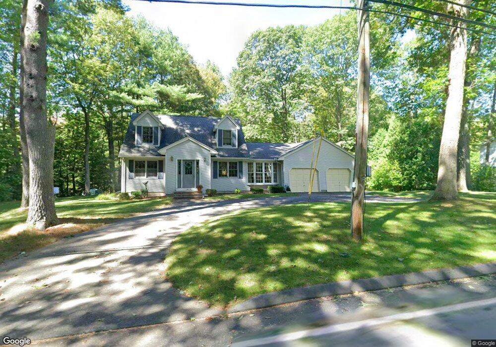
921 Burts Pit Rd Florence, MA 01062
Florence NeighborhoodEstimated Value: $498,000 - $559,000
3
Beds
2
Baths
1,648
Sq Ft
$315/Sq Ft
Est. Value
About This Home
This home is located at 921 Burts Pit Rd, Florence, MA 01062 and is currently estimated at $519,437, approximately $315 per square foot. 921 Burts Pit Rd is a home located in Hampshire County with nearby schools including Northampton High School, Hilltown Cooperative Charter Public School, and The Montessori School of Northampton.
Ownership History
Date
Name
Owned For
Owner Type
Purchase Details
Closed on
Aug 10, 2016
Sold by
Koczajowski Stanley and Koczajowski Joanne E
Bought by
Koczajowski Stanley and Koczajowski Joanne E
Current Estimated Value
Purchase Details
Closed on
Oct 15, 1990
Sold by
Davco Co
Bought by
Koczajowski Joanne
Home Financials for this Owner
Home Financials are based on the most recent Mortgage that was taken out on this home.
Original Mortgage
$108,000
Interest Rate
10.18%
Mortgage Type
Purchase Money Mortgage
Create a Home Valuation Report for This Property
The Home Valuation Report is an in-depth analysis detailing your home's value as well as a comparison with similar homes in the area
Home Values in the Area
Average Home Value in this Area
Purchase History
| Date | Buyer | Sale Price | Title Company |
|---|---|---|---|
| Koczajowski Stanley | -- | -- | |
| Koczajowski Joanne | $135,000 | -- |
Source: Public Records
Mortgage History
| Date | Status | Borrower | Loan Amount |
|---|---|---|---|
| Previous Owner | Koczajowski Joanne | $108,000 |
Source: Public Records
Tax History Compared to Growth
Tax History
| Year | Tax Paid | Tax Assessment Tax Assessment Total Assessment is a certain percentage of the fair market value that is determined by local assessors to be the total taxable value of land and additions on the property. | Land | Improvement |
|---|---|---|---|---|
| 2025 | $6,585 | $472,700 | $129,200 | $343,500 |
| 2024 | $6,381 | $420,100 | $129,200 | $290,900 |
| 2023 | $5,599 | $353,500 | $117,200 | $236,300 |
| 2022 | $5,505 | $307,700 | $117,200 | $190,500 |
| 2021 | $5,208 | $299,800 | $112,200 | $187,600 |
| 2020 | $5,037 | $299,800 | $112,200 | $187,600 |
| 2019 | $4,884 | $281,200 | $97,200 | $184,000 |
| 2018 | $4,703 | $276,000 | $97,200 | $178,800 |
| 2017 | $4,606 | $276,000 | $97,200 | $178,800 |
| 2016 | $4,460 | $276,000 | $97,200 | $178,800 |
| 2015 | $4,509 | $285,400 | $97,200 | $188,200 |
| 2014 | $4,392 | $285,400 | $97,200 | $188,200 |
Source: Public Records
Map
Nearby Homes
- 815 Burts Pit Rd
- 137 Emerson Way
- 138 Overlook Dr
- 167 Emerson Way
- 100 Emerson Way
- 723 Florence Rd
- 39 Matthew Dr
- 269 Ryan Rd
- 95 Autumn Dr
- 321 Riverside Dr
- 325 Riverside Dr
- 832 Westhampton Rd
- 11 Norwood Ave
- 225 Nonotuck St Unit C
- 0 W Farms Rd
- 37 Landy Ave
- 36 Landy Ave
- 98 Park Hill Rd
- 67 Park St Unit A
- 67 Park St Unit B
- 907 Burts Pit Rd
- 931 Burts Pit Rd
- 908 Burts Pit Rd
- 18 Woods Rd
- 898 Burts Pit Rd
- 887 Burts Pit Rd
- 934 Burts Pit Rd
- 878 Burts Pit Rd
- 32 Woods Rd
- 15 Woods Rd
- 866 Burts Pit Rd
- 965 Burts Pit Rd
- 865 Burts Pit Rd
- 881 Burts Pit Rd
- 881 Burts Pit Rd
- 856 Burts Pit Rd
- 973 Burts Pit Rd
- 51 Woods Rd
- 295 Brookside Cir
- 851 Burts Pit Rd