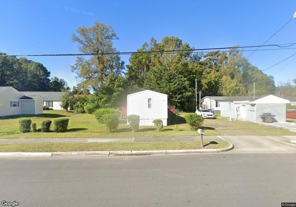
921 Canal St Unit 925 Myrtle Beach, SC 29577
Downtown Myrtle Beach NeighborhoodEstimated Value: $257,000 - $367,000
6
Beds
4
Baths
2,012
Sq Ft
$157/Sq Ft
Est. Value
About This Home
This home is located at 921 Canal St Unit 925, Myrtle Beach, SC 29577 and is currently estimated at $316,324, approximately $157 per square foot. 921 Canal St Unit 925 is a home located in Horry County with nearby schools including Myrtle Beach Child Development Center, Myrtle Beach Primary School, and Myrtle Beach Elementary School.
Ownership History
Date
Name
Owned For
Owner Type
Purchase Details
Closed on
Jul 18, 2007
Sold by
Graham Sidney R
Bought by
Graham Sidney R and Graham Ioan F
Current Estimated Value
Purchase Details
Closed on
Aug 23, 1999
Sold by
Graham Sidney Earnest
Bought by
Graham Sidney R
Purchase Details
Closed on
Jul 12, 1999
Sold by
Graham Sidney Ernest
Bought by
Graham Sidney R
Create a Home Valuation Report for This Property
The Home Valuation Report is an in-depth analysis detailing your home's value as well as a comparison with similar homes in the area
Home Values in the Area
Average Home Value in this Area
Purchase History
| Date | Buyer | Sale Price | Title Company |
|---|---|---|---|
| Graham Sidney R | -- | None Available | |
| Graham Sidney R | -- | -- | |
| Graham Sidney R | -- | -- |
Source: Public Records
Tax History Compared to Growth
Tax History
| Year | Tax Paid | Tax Assessment Tax Assessment Total Assessment is a certain percentage of the fair market value that is determined by local assessors to be the total taxable value of land and additions on the property. | Land | Improvement |
|---|---|---|---|---|
| 2024 | $2,620 | $15,685 | $4,139 | $11,546 |
| 2023 | $2,620 | $8,948 | $772 | $8,176 |
| 2021 | $2,418 | $11,072 | $806 | $10,266 |
| 2020 | $2,306 | $11,072 | $806 | $10,266 |
| 2019 | $2,306 | $11,072 | $806 | $10,266 |
| 2018 | $0 | $7,781 | $767 | $7,014 |
| 2017 | $2,046 | $7,781 | $767 | $7,014 |
| 2016 | -- | $7,781 | $767 | $7,014 |
| 2015 | $2,023 | $7,782 | $768 | $7,014 |
| 2014 | $1,967 | $7,782 | $768 | $7,014 |
Source: Public Records
Map
Nearby Homes
- TBD Acline Ave
- 913 White St
- (1.5 Acres) 10th Ave N
- 1009 3rd Ave N
- 1005 3rd Ave N Unit Multi-family lot
- 850 Maxine Ct Unit 5B
- 1112 Ocala St
- 1211 Washington St
- 1102 Spivey Ave
- 904 3rd Ave N
- 1377 E Highway 501
- 1104 Dunbar St
- 1101 Carver St
- 0000 Racepath St
- 1001 Graham Ave
- 506 Maple St Unit 508 Maple St.
- 1301 Hemingway St
- 1722 Saint Charles Ave
- 1301 King St
- 6025 Bolsena Place
- 911 Canal St
- 1606 Andrew Jack Mitchell Ln
- 1600 Andrew Jack Mitchell Ln
- 831 Canal St
- 1612 Andrew Jack Mitchell Ln
- 826 Canal St
- 827 Canal St
- 1618 Andrew Jack Mitchell Ln
- 828 Canal St
- 825 Canal St
- 930 Canal St
- 839 Thompson Ct
- 824 Canal St
- 823 Canal St
- 900 Canal St
- 837 Canal St
- 830 Watts Ave
- 821 Canal St
- 829 Gore Ln
- 1406 Shavis Ct