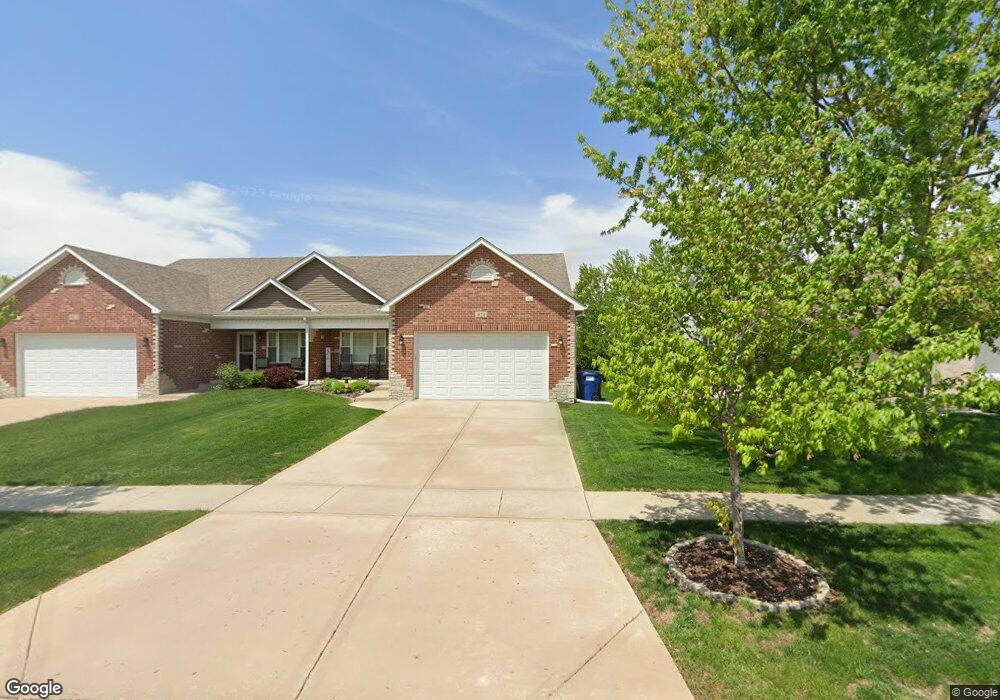
921 Casey Dr Unit 923 Minooka, IL 60447
Estimated Value: $322,653 - $382,000
--
Bed
2
Baths
1,512
Sq Ft
$232/Sq Ft
Est. Value
About This Home
This home is located at 921 Casey Dr Unit 923, Minooka, IL 60447 and is currently estimated at $351,413, approximately $232 per square foot. 921 Casey Dr Unit 923 is a home located in Grundy County with nearby schools including Minooka Primary Center, Minooka Elementary School, and Minooka Junior High School.
Ownership History
Date
Name
Owned For
Owner Type
Purchase Details
Closed on
Nov 18, 2016
Sold by
Slavik Stephanie A and Slavik William M
Bought by
Nielsen David
Current Estimated Value
Home Financials for this Owner
Home Financials are based on the most recent Mortgage that was taken out on this home.
Original Mortgage
$200,305
Outstanding Balance
$162,462
Interest Rate
3.75%
Mortgage Type
FHA
Estimated Equity
$188,951
Purchase Details
Closed on
Oct 29, 2015
Sold by
Slavik William M
Bought by
Slavik Stephanie A and Slavik William M
Purchase Details
Closed on
Oct 28, 2015
Sold by
Schubert William A and Slavik William M
Bought by
Slavik William M
Create a Home Valuation Report for This Property
The Home Valuation Report is an in-depth analysis detailing your home's value as well as a comparison with similar homes in the area
Home Values in the Area
Average Home Value in this Area
Purchase History
| Date | Buyer | Sale Price | Title Company |
|---|---|---|---|
| Nielsen David | $204,000 | Fidelity National Title Insu | |
| Slavik Stephanie A | -- | First American Title Insuran | |
| Slavik William M | -- | None Available |
Source: Public Records
Mortgage History
| Date | Status | Borrower | Loan Amount |
|---|---|---|---|
| Open | Nielsen David | $200,305 |
Source: Public Records
Tax History Compared to Growth
Tax History
| Year | Tax Paid | Tax Assessment Tax Assessment Total Assessment is a certain percentage of the fair market value that is determined by local assessors to be the total taxable value of land and additions on the property. | Land | Improvement |
|---|---|---|---|---|
| 2024 | $7,496 | $93,457 | $13,226 | $80,231 |
| 2023 | $6,833 | $85,185 | $12,055 | $73,130 |
| 2022 | $5,872 | $79,205 | $11,209 | $67,996 |
| 2021 | $5,619 | $74,977 | $10,611 | $64,366 |
| 2020 | $5,477 | $71,722 | $10,150 | $61,572 |
| 2019 | $5,166 | $66,409 | $9,398 | $57,011 |
| 2018 | $4,856 | $61,412 | $9,293 | $52,119 |
| 2017 | $4,526 | $56,583 | $8,874 | $47,709 |
| 2016 | $3,705 | $42,102 | $8,330 | $33,772 |
| 2015 | $353 | $7,572 | $7,572 | $0 |
Source: Public Records
Map
Nearby Homes
- 817 Casey Dr
- 713 Joanne Dr
- LOT 28 O Toole Dr
- 406 Mccoy Ct
- 802 Joanne Dr
- 703 Stillwater Ct
- 401 Feeney Dr
- 601 Edgewater Dr
- 605 High Grove Dr
- 504 Flanagan Dr Unit A
- 278,279,280,281 Clover Cir
- Lots 298-301 Clover Cir
- 1074-1080 Clover Dr
- LOT 1 Bob Blair Rd
- 314 Golden Rod Dr
- 825 Grant Dr
- 1118 Burns Ln
- 1224 Burns Ln
- 246 Prairie Ridge Dr
- 405 W Mondamin St