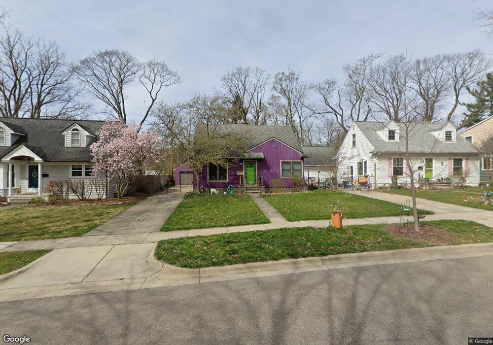
921 Duncan St Ann Arbor, MI 48103
Arborview NeighborhoodEstimated Value: $449,000 - $519,000
3
Beds
1
Bath
1,536
Sq Ft
$313/Sq Ft
Est. Value
About This Home
This home is located at 921 Duncan St, Ann Arbor, MI 48103 and is currently estimated at $480,913, approximately $313 per square foot. 921 Duncan St is a home located in Washtenaw County with nearby schools including Haisley Elementary School, Slauson Middle School, and Skyline High School.
Ownership History
Date
Name
Owned For
Owner Type
Purchase Details
Closed on
Dec 30, 1994
Sold by
Craven James W
Bought by
Sturm Matthew H and Laporte Adele
Current Estimated Value
Home Financials for this Owner
Home Financials are based on the most recent Mortgage that was taken out on this home.
Original Mortgage
$66,000
Interest Rate
7.38%
Mortgage Type
New Conventional
Create a Home Valuation Report for This Property
The Home Valuation Report is an in-depth analysis detailing your home's value as well as a comparison with similar homes in the area
Home Values in the Area
Average Home Value in this Area
Purchase History
| Date | Buyer | Sale Price | Title Company |
|---|---|---|---|
| Sturm Matthew H | $106,372 | -- |
Source: Public Records
Mortgage History
| Date | Status | Borrower | Loan Amount |
|---|---|---|---|
| Closed | Sturm Matthew H | $66,000 |
Source: Public Records
Tax History Compared to Growth
Tax History
| Year | Tax Paid | Tax Assessment Tax Assessment Total Assessment is a certain percentage of the fair market value that is determined by local assessors to be the total taxable value of land and additions on the property. | Land | Improvement |
|---|---|---|---|---|
| 2025 | $5,276 | $214,900 | $0 | $0 |
| 2024 | $4,913 | $199,200 | $0 | $0 |
| 2023 | $4,530 | $194,200 | $0 | $0 |
| 2022 | $4,936 | $171,300 | $0 | $0 |
| 2021 | $4,820 | $164,800 | $0 | $0 |
| 2020 | $4,723 | $166,200 | $0 | $0 |
| 2019 | $4,495 | $147,800 | $147,800 | $0 |
| 2018 | $4,431 | $132,900 | $0 | $0 |
| 2017 | $4,311 | $133,000 | $0 | $0 |
| 2016 | $3,672 | $86,199 | $0 | $0 |
| 2015 | $3,961 | $85,942 | $0 | $0 |
| 2014 | $3,961 | $83,257 | $0 | $0 |
| 2013 | -- | $83,257 | $0 | $0 |
Source: Public Records
Map
Nearby Homes
- 1006 Duncan St
- 812 Duncan St
- 915 Westwood Ave
- 1420 Hatcher Crescent
- 1797 Miller Ave
- 827 Westwood Ave
- 1431 Hatcher Crescent
- 1785 Miller Ave
- 1115 Western Dr
- 1514 Argyle Crescent
- 916 Patricia Ave
- 1610 Saunders Crescent
- 2219 Dexter Ave
- 520 Center Dr
- 115 Longman Ln
- 1328 Miller Ave
- 116 Glendale Dr
- 1812 Jackson Ave
- 2107 Jackson Ave
- 1122 Mixtwood St