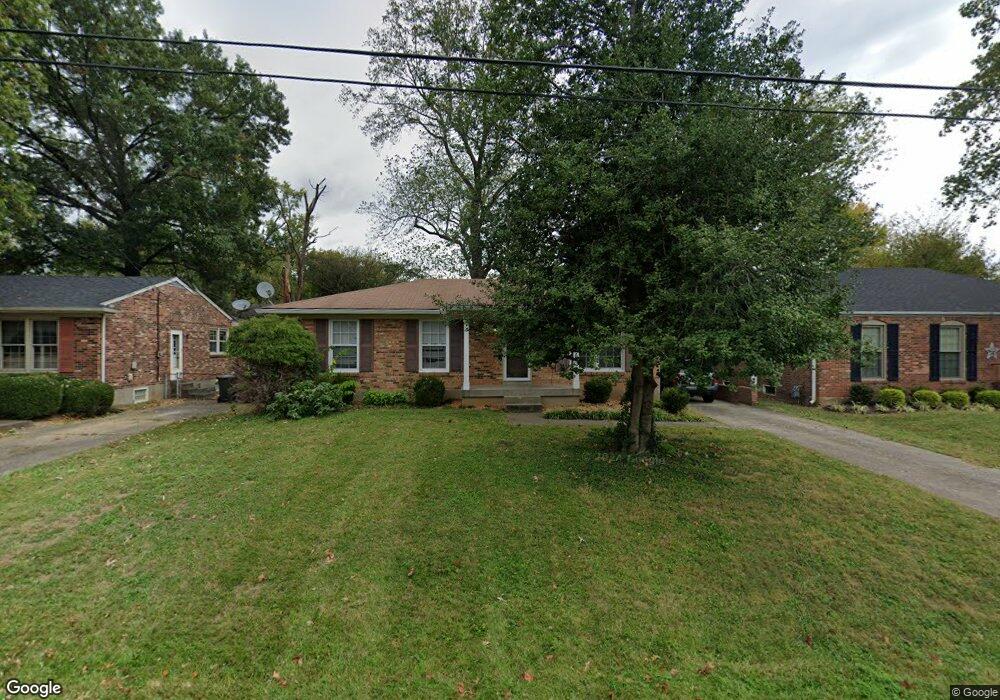
921 Fenley Ave Louisville, KY 40222
Estimated Value: $228,000 - $352,000
--
Bed
2
Baths
1,408
Sq Ft
$204/Sq Ft
Est. Value
About This Home
This home is located at 921 Fenley Ave, Louisville, KY 40222 and is currently estimated at $287,288, approximately $204 per square foot. 921 Fenley Ave is a home located in Jefferson County with nearby schools including Chenoweth Elementary School, St. Matthews Elementary School, and Field Elementary School.
Ownership History
Date
Name
Owned For
Owner Type
Purchase Details
Closed on
Jan 5, 2016
Sold by
Bank Of America Na
Bought by
Lemme Matthew R
Current Estimated Value
Purchase Details
Closed on
Sep 22, 2009
Sold by
Lemme Nancy C
Bought by
Lemme Matthew R
Purchase Details
Closed on
Dec 7, 2007
Sold by
Roberts Ruth W and Roberts Morris W
Bought by
Lemme Matthew R and Lemme Nancy C
Home Financials for this Owner
Home Financials are based on the most recent Mortgage that was taken out on this home.
Original Mortgage
$143,500
Interest Rate
6.22%
Mortgage Type
Purchase Money Mortgage
Create a Home Valuation Report for This Property
The Home Valuation Report is an in-depth analysis detailing your home's value as well as a comparison with similar homes in the area
Home Values in the Area
Average Home Value in this Area
Purchase History
| Date | Buyer | Sale Price | Title Company |
|---|---|---|---|
| Lemme Matthew R | $120,000 | None Available | |
| Lemme Matthew R | -- | None Available | |
| Lemme Matthew R | $143,500 | Summit Title |
Source: Public Records
Mortgage History
| Date | Status | Borrower | Loan Amount |
|---|---|---|---|
| Previous Owner | Lemme Matthew R | $143,500 |
Source: Public Records
Tax History Compared to Growth
Tax History
| Year | Tax Paid | Tax Assessment Tax Assessment Total Assessment is a certain percentage of the fair market value that is determined by local assessors to be the total taxable value of land and additions on the property. | Land | Improvement |
|---|---|---|---|---|
| 2024 | $2,385 | $213,910 | $43,200 | $170,710 |
| 2023 | $2,456 | $213,910 | $43,200 | $170,710 |
| 2022 | $2,892 | $153,980 | $35,000 | $118,980 |
| 2021 | $1,917 | $153,980 | $35,000 | $118,980 |
| 2020 | $1,782 | $153,980 | $35,000 | $118,980 |
| 2019 | $1,746 | $153,980 | $35,000 | $118,980 |
| 2018 | $344 | $153,980 | $35,000 | $118,980 |
| 2017 | $1,259 | $120,000 | $35,000 | $85,000 |
| 2013 | $1,435 | $143,500 | $22,000 | $121,500 |
Source: Public Records
Map
Nearby Homes
- 913 Girard Dr
- 1018 Sir Lancelot Ln
- 814 Washburn Ave Unit 23
- 816 Washburn Ave Unit 16
- 816 Washburn Ave Unit 10
- 1239 Westlynne Way Unit 2
- 1123 Girard Dr
- 1334 Lynmar Dr Unit 2
- 4825 Westmar Terrace Unit 202
- 4835 Westmar Terrace Unit 4835
- 720 Kentucky Ave
- 605 E Kentucky St
- 4807 Whitekirk Ct Unit 4807
- 629 Marquette Dr
- 518 Washburn Ave
- 1007 Lake Place Unit H10
- 8138 Lake Terrace Unit E5
- 8133 Lake Ave Unit B9
- 8136 Lake Terrace Unit T5
- 604 Marquette Dr