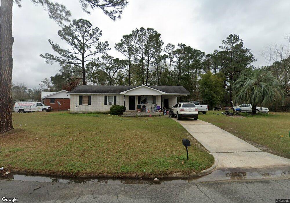
921 Jamestown Dr Valdosta, GA 31601
Estimated Value: $83,567 - $132,000
--
Bed
1
Bath
1,050
Sq Ft
$98/Sq Ft
Est. Value
About This Home
This home is located at 921 Jamestown Dr, Valdosta, GA 31601 and is currently estimated at $103,142, approximately $98 per square foot. 921 Jamestown Dr is a home located in Lowndes County with nearby schools including J.L. Lomax Elementary School, Newbern Middle School, and Valdosta High School.
Ownership History
Date
Name
Owned For
Owner Type
Purchase Details
Closed on
Sep 5, 2003
Sold by
Christopher Jamie and Christopher Johnny
Bought by
Butler Leroy
Current Estimated Value
Purchase Details
Closed on
Jun 6, 2003
Sold by
Dawson Jamie
Bought by
Christopher Jamie and Christopher Johnny
Purchase Details
Closed on
Sep 30, 1996
Bought by
Dawson Jamie
Purchase Details
Closed on
Dec 7, 1994
Bought by
Lester John W Cpa Pc
Purchase Details
Closed on
Jan 22, 1994
Bought by
Copeland Roy W
Purchase Details
Closed on
Jul 18, 1973
Bought by
Wright Ruth L
Create a Home Valuation Report for This Property
The Home Valuation Report is an in-depth analysis detailing your home's value as well as a comparison with similar homes in the area
Home Values in the Area
Average Home Value in this Area
Purchase History
| Date | Buyer | Sale Price | Title Company |
|---|---|---|---|
| Butler Leroy | $39,000 | -- | |
| Christopher Jamie | -- | -- | |
| Dawson Jamie | $35,000 | -- | |
| Lester John W Cpa Pc | $8,000 | -- | |
| Copeland Roy W | $20,000 | -- | |
| Wright Ruth L | $1,000 | -- |
Source: Public Records
Tax History Compared to Growth
Tax History
| Year | Tax Paid | Tax Assessment Tax Assessment Total Assessment is a certain percentage of the fair market value that is determined by local assessors to be the total taxable value of land and additions on the property. | Land | Improvement |
|---|---|---|---|---|
| 2024 | $701 | $25,087 | $2,200 | $22,887 |
| 2023 | $701 | $24,117 | $2,200 | $21,917 |
| 2022 | $413 | $12,234 | $2,200 | $10,034 |
| 2021 | $425 | $12,234 | $2,200 | $10,034 |
| 2020 | $435 | $12,234 | $2,200 | $10,034 |
| 2019 | $434 | $12,234 | $2,200 | $10,034 |
| 2018 | $625 | $17,378 | $2,200 | $15,178 |
| 2017 | $629 | $17,378 | $2,200 | $15,178 |
| 2016 | $628 | $17,378 | $2,200 | $15,178 |
| 2015 | $577 | $17,378 | $2,200 | $15,178 |
| 2014 | $586 | $17,378 | $2,200 | $15,178 |
Source: Public Records
Map
Nearby Homes
- 805 Ponderosa Dr
- 911 Stillwater Dr
- 1502 Barack Obama Blvd
- 747 E Brookwood Dr
- 1006 E Force St
- 734 E Ann St Unit 2
- 819 E Woodlawn
- 732 Vallotton Dr
- 1611 Charter Oaks Dr
- 1705 N Barack Obama Blvd
- 800 Stillwater Dr
- 1708 N Barack Obama Blvd
- 1016 Mary Nell
- 1797 Claudia Cir Unit 7
- 1797 Claudia Cir
- 807 Myrtle St
- 1710 Dedo Dr
- 1707 Toni Terrace
- 704 Lausanne Dr
- 506 Mystic St
- 923 Jamestown Dr
- 919 Jamestown Dr
- 925 Jamestown Dr
- 917 Jamestown Dr
- 912 Jamestown Dr
- 914 Jamestown Dr
- 910 Jamestown Dr
- 918 Jamestown Dr
- 920 Ponderosa Dr
- 922 Ponderosa Dr
- 920 Jamestown Dr
- 916 Jamestown Dr
- 915 Jamestown Dr
- 908 Jamestown Dr
- 918 Ponderosa Dr
- 922 Jamestown Dr
- 924 Jamestown Dr
- 916 Ponderosa Dr
- 906 Jamestown Dr
- 913 Jamestown Dr