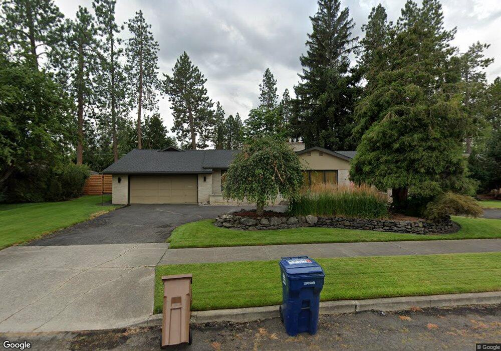
921 W Comstock Ct Spokane, WA 99203
Comstock NeighborhoodEstimated Value: $908,000 - $1,269,398
5
Beds
4
Baths
4,442
Sq Ft
$238/Sq Ft
Est. Value
About This Home
This home is located at 921 W Comstock Ct, Spokane, WA 99203 and is currently estimated at $1,057,850, approximately $238 per square foot. 921 W Comstock Ct is a home located in Spokane County with nearby schools including Wilson Elementary School, Sacajawea Middle School, and Lewis & Clark High School.
Ownership History
Date
Name
Owned For
Owner Type
Purchase Details
Closed on
Aug 23, 2005
Sold by
Shanewise Robert P and Shanewise Helen M
Bought by
Wright Brett D and Wright Sandra L
Current Estimated Value
Home Financials for this Owner
Home Financials are based on the most recent Mortgage that was taken out on this home.
Original Mortgage
$184,500
Interest Rate
5.76%
Mortgage Type
Credit Line Revolving
Create a Home Valuation Report for This Property
The Home Valuation Report is an in-depth analysis detailing your home's value as well as a comparison with similar homes in the area
Home Values in the Area
Average Home Value in this Area
Purchase History
| Date | Buyer | Sale Price | Title Company |
|---|---|---|---|
| Wright Brett D | $410,000 | Pacific Nw Title |
Source: Public Records
Mortgage History
| Date | Status | Borrower | Loan Amount |
|---|---|---|---|
| Open | Wright Brett D | $205,000 |
Source: Public Records
Tax History Compared to Growth
Tax History
| Year | Tax Paid | Tax Assessment Tax Assessment Total Assessment is a certain percentage of the fair market value that is determined by local assessors to be the total taxable value of land and additions on the property. | Land | Improvement |
|---|---|---|---|---|
| 2025 | $10,458 | $1,158,800 | $230,000 | $928,800 |
| 2024 | $10,458 | $1,055,900 | $125,000 | $930,900 |
| 2023 | $8,657 | $1,047,000 | $142,500 | $904,500 |
| 2022 | $7,662 | $886,600 | $114,000 | $772,600 |
| 2021 | $7,258 | $611,320 | $96,620 | $514,700 |
| 2020 | $7,170 | $581,770 | $93,770 | $488,000 |
| 2019 | $5,833 | $488,500 | $75,000 | $413,500 |
| 2018 | $6,046 | $435,100 | $68,000 | $367,100 |
| 2017 | $5,738 | $420,500 | $65,000 | $355,500 |
| 2016 | $5,373 | $385,200 | $65,000 | $320,200 |
| 2015 | $5,420 | $380,200 | $60,000 | $320,200 |
| 2014 | -- | $375,600 | $50,000 | $325,600 |
| 2013 | -- | $0 | $0 | $0 |
Source: Public Records
Map
Nearby Homes
- 3223 S High Dr
- 3510 S Jefferson Dr
- 2825 S Wall St
- 3331 S Bernard St
- 532 W 28th Ave
- 2609 S Lincoln St
- 204 W 36th Ave
- 125 W 32nd Ave
- 617 W 26th Ave
- 1123 W 25th Ave
- 208 W 28th Ave
- 417 W 26th Ave
- 411 W 26th Ave
- 207 W 27th Ave
- 3331 S Inland Empire Way
- 227 W 26th Ave
- 17 W 31st Ave
- 3524 S Division St Unit Not the busy road
- 7 E 34th Ave
- 19 W 29th Ave
- 909 W Comstock Ct
- 931 W Comstock Ct
- 931 W Comstock Ct
- 920 W 33rd Ave
- 930 W 33rd Ave
- 910 W 33rd Ave
- 920 W Comstock Ct
- 903 W Comstock Ct
- 934 W 33rd Ave
- 930 W Comstock Ct
- 910 W Comstock Ct
- 1001 W Comstock Ct
- 904 W 33rd Ave
- 1002 W Comstock Ct
- 904 W Comstock Ct
- 1010 W 33rd Ave
- 927 W Melinda Ln
- 917 W Melinda Ln
- 921 W 33rd Ave
- 911 W 33rd Ave