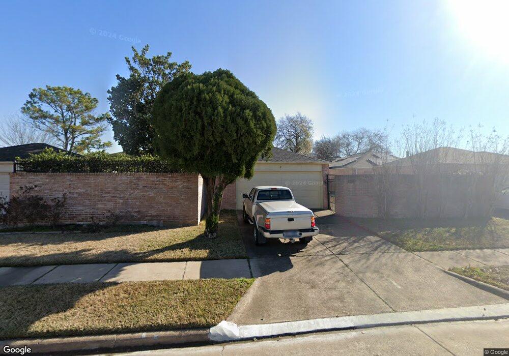
9211 Danforth Way Houston, TX 77083
Alief NeighborhoodEstimated Value: $202,000 - $236,000
2
Beds
2
Baths
1,499
Sq Ft
$144/Sq Ft
Est. Value
About This Home
This home is located at 9211 Danforth Way, Houston, TX 77083 and is currently estimated at $215,377, approximately $143 per square foot. 9211 Danforth Way is a home located in Harris County with nearby schools including Hicks Elementary School, Youngblood Intermediate School, and Albright Middle School.
Ownership History
Date
Name
Owned For
Owner Type
Purchase Details
Closed on
Oct 18, 2002
Sold by
Echols Harold and Diane Echols C
Bought by
Cheung Steven
Current Estimated Value
Home Financials for this Owner
Home Financials are based on the most recent Mortgage that was taken out on this home.
Original Mortgage
$63,600
Interest Rate
9.12%
Create a Home Valuation Report for This Property
The Home Valuation Report is an in-depth analysis detailing your home's value as well as a comparison with similar homes in the area
Home Values in the Area
Average Home Value in this Area
Purchase History
| Date | Buyer | Sale Price | Title Company |
|---|---|---|---|
| Cheung Steven | -- | First American Title |
Source: Public Records
Mortgage History
| Date | Status | Borrower | Loan Amount |
|---|---|---|---|
| Previous Owner | Cheung Steven | $63,600 |
Source: Public Records
Tax History
| Year | Tax Paid | Tax Assessment Tax Assessment Total Assessment is a certain percentage of the fair market value that is determined by local assessors to be the total taxable value of land and additions on the property. | Land | Improvement |
|---|---|---|---|---|
| 2025 | $1,259 | $231,546 | $56,238 | $175,308 |
| 2024 | $1,259 | $233,166 | $56,238 | $176,928 |
| 2023 | $1,259 | $233,166 | $56,238 | $176,928 |
| 2022 | $4,370 | $193,506 | $46,013 | $147,493 |
| 2021 | $4,238 | $153,925 | $31,953 | $121,972 |
| 2020 | $4,111 | $144,414 | $23,006 | $121,408 |
| 2019 | $3,819 | $136,945 | $23,006 | $113,939 |
| 2018 | $1,245 | $120,309 | $17,383 | $102,926 |
| 2017 | $3,156 | $107,815 | $17,383 | $90,432 |
| 2016 | $2,918 | $99,683 | $17,383 | $82,300 |
| 2015 | $2,117 | $99,683 | $17,383 | $82,300 |
| 2014 | $2,117 | $85,783 | $17,383 | $68,400 |
Source: Public Records
Map
Nearby Homes
- 13950 Ashdale Ln
- 9315 Beringwood Dr
- 9415 Danforth Way
- 9306 Bristlebrook Dr
- 13831 Andover Park Dr
- 9318 Spindlewood Dr
- 13743 Evansdale Ln
- 8628 Beechcrest St
- 13802 Andover Park Dr
- 8631 Mapletwist St
- 13730 Evansdale Ln
- 9614 Wellsworth Dr
- 13710 Evansdale Ln
- 8810 Barron Wood Cir
- 14110 Royal Hill Dr
- 8603 Rustling Lvs Dr
- 14119 Renn Rd
- 9742 Kingsville Park Dr
- 9631 Stockwell Dr
- 13518 Oak Bend Forest Dr
- 9207 Danforth Way
- 9215 Danforth Way
- 9303 Danforth Way
- 9203 Danforth Way
- 9214 Clipperwood Place
- 9218 Clipperwood Place
- 9210 Clipperwood Place
- 9307 Danforth Way
- 9302 Clipperwood Place
- 9206 Clipperwood Place
- 9210 Danforth Way
- 9206 Danforth Way
- 9214 Danforth Way
- 9306 Clipperwood Place
- 9311 Danforth Way
- 9302 Danforth Way
- 9202 Danforth Way
- 9306 Danforth Way
- 9315 Danforth Way
- 13922 Ashdale Ln
Your Personal Tour Guide
Ask me questions while you tour the home.