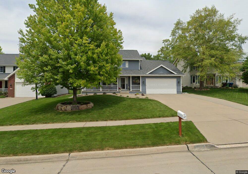
9215 Goodman Cir Urbandale, IA 50322
Estimated Value: $413,000 - $439,000
4
Beds
3
Baths
2,438
Sq Ft
$173/Sq Ft
Est. Value
About This Home
This home is located at 9215 Goodman Cir, Urbandale, IA 50322 and is currently estimated at $422,027, approximately $173 per square foot. 9215 Goodman Cir is a home located in Polk County with nearby schools including Timber Ridge Elementary School, Summit Middle School, and Johnston Middle School.
Ownership History
Date
Name
Owned For
Owner Type
Purchase Details
Closed on
Jan 11, 2001
Sold by
Vanlangen Lyle J and Vanlangen Peggy Jo
Bought by
Larpenter Larry A and Larpenter Debra L
Current Estimated Value
Home Financials for this Owner
Home Financials are based on the most recent Mortgage that was taken out on this home.
Original Mortgage
$173,280
Outstanding Balance
$61,646
Interest Rate
7.22%
Estimated Equity
$360,381
Create a Home Valuation Report for This Property
The Home Valuation Report is an in-depth analysis detailing your home's value as well as a comparison with similar homes in the area
Home Values in the Area
Average Home Value in this Area
Purchase History
| Date | Buyer | Sale Price | Title Company |
|---|---|---|---|
| Larpenter Larry A | $216,500 | -- |
Source: Public Records
Mortgage History
| Date | Status | Borrower | Loan Amount |
|---|---|---|---|
| Open | Larpenter Larry A | $173,280 |
Source: Public Records
Tax History Compared to Growth
Tax History
| Year | Tax Paid | Tax Assessment Tax Assessment Total Assessment is a certain percentage of the fair market value that is determined by local assessors to be the total taxable value of land and additions on the property. | Land | Improvement |
|---|---|---|---|---|
| 2025 | $6,182 | $423,100 | $76,600 | $346,500 |
| 2024 | $6,182 | $391,200 | $69,900 | $321,300 |
| 2023 | $5,658 | $391,200 | $69,900 | $321,300 |
| 2022 | $6,366 | $311,000 | $57,100 | $253,900 |
| 2021 | $6,290 | $311,000 | $57,100 | $253,900 |
| 2020 | $6,184 | $291,700 | $53,300 | $238,400 |
| 2019 | $6,392 | $291,700 | $53,300 | $238,400 |
| 2018 | $6,154 | $284,000 | $50,800 | $233,200 |
| 2017 | $5,736 | $284,000 | $50,800 | $233,200 |
| 2016 | $5,594 | $259,300 | $45,200 | $214,100 |
| 2015 | $5,594 | $259,300 | $45,200 | $214,100 |
| 2014 | $4,918 | $234,900 | $40,300 | $194,600 |
Source: Public Records
Map
Nearby Homes
- 4748 Hillsdale Dr
- 4529 91st St
- 4726 Hillsdale Dr
- Lot 24 Hickory Dr
- Danbury Plan at Oakwood Haven
- Carson Plan at Oakwood Haven
- Gilmore Plan at Oakwood Haven
- Emerson Plan at Oakwood Haven
- Brighton Plan at Oakwood Haven
- Cambridge Plan at Oakwood Haven
- Aurora Plan at Oakwood Haven
- Fairfield Plan at Oakwood Haven
- 4708 89th St
- 9107 Tanglewood Dr
- 4460 90th St
- 4473 89th St
- 4480 87th St Unit 10
- 8641 Alpine Dr Unit E
- 8626 Alpine Dr Unit D
- 8523 Hickory Ln
- 9209 Goodman Cir
- 9219 Goodman Cir
- 9200 Oakwood Dr
- 9118 Oakwood Dr
- 9206 Oakwood Dr
- 9223 Goodman Cir
- 9112 Oakwood Dr
- 9214 Goodman Cir
- 9212 Oakwood Dr
- 9218 Goodman Cir
- 9208 Goodman Cir
- 9106 Oakwood Dr
- 9222 Goodman Cir
- 9226 Goodman Cir
- 9204 Goodman Cir
- 9201 Goodman Cir
- 9201 Oakwood Dr
- 9207 Oakwood Dr
- 9200 Goodman Cir
- 9100 Oakwood Dr