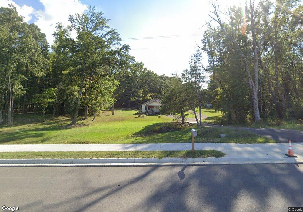
9216 Highway 270 White Hall, AR 71602
Estimated Value: $154,000 - $165,000
--
Bed
1
Bath
1,416
Sq Ft
$112/Sq Ft
Est. Value
About This Home
This home is located at 9216 Highway 270, White Hall, AR 71602 and is currently estimated at $158,000, approximately $111 per square foot. 9216 Highway 270 is a home located in Jefferson County with nearby schools including Matthews Elementary School, Robert F. Morehead Middle School, and Dollarway High School.
Ownership History
Date
Name
Owned For
Owner Type
Purchase Details
Closed on
Jun 2, 2003
Bought by
Lindsey Georgia A
Current Estimated Value
Purchase Details
Closed on
Sep 11, 1997
Bought by
Lindsey Georgia A and 9216 Highway 270
Purchase Details
Closed on
Jul 3, 1990
Bought by
Lindsey Jerry and Lindsey Wf
Purchase Details
Closed on
Dec 18, 1987
Bought by
Davison James F and Davison Wf
Purchase Details
Closed on
Nov 12, 1987
Bought by
Davison James F and Davison Wf
Create a Home Valuation Report for This Property
The Home Valuation Report is an in-depth analysis detailing your home's value as well as a comparison with similar homes in the area
Home Values in the Area
Average Home Value in this Area
Purchase History
| Date | Buyer | Sale Price | Title Company |
|---|---|---|---|
| Lindsey Georgia A | -- | -- | |
| Lindsey Georgia A | -- | -- | |
| Lindsey Jerry | $48,000 | -- | |
| Davison James F | -- | -- | |
| Davison James F | -- | -- |
Source: Public Records
Tax History Compared to Growth
Tax History
| Year | Tax Paid | Tax Assessment Tax Assessment Total Assessment is a certain percentage of the fair market value that is determined by local assessors to be the total taxable value of land and additions on the property. | Land | Improvement |
|---|---|---|---|---|
| 2025 | $30 | $17,530 | $3,300 | $14,230 |
| 2024 | $30 | $17,530 | $3,300 | $14,230 |
| 2023 | $30 | $17,530 | $3,300 | $14,230 |
| 2022 | $80 | $12,830 | $2,500 | $10,330 |
| 2021 | $80 | $12,830 | $2,500 | $10,330 |
| 2020 | $80 | $12,830 | $2,500 | $10,330 |
| 2019 | $55 | $12,830 | $2,500 | $10,330 |
| 2018 | $80 | $12,830 | $2,500 | $10,330 |
| 2017 | $80 | $11,140 | $2,500 | $8,640 |
| 2016 | $80 | $11,140 | $2,500 | $8,640 |
| 2015 | $45 | $11,140 | $2,500 | $8,640 |
| 2014 | -- | $10,050 | $2,500 | $7,550 |
Source: Public Records
Map
Nearby Homes
- 1920 Allbritton Dr
- 9403 U S 270
- 410 Rolling Hills Dr
- 8800 Highway 270
- 8701 Highway 270
- 00 Boastwood Dr
- 1005 Shephard Dr
- 2095 S Evans Rd
- 1601 Rainbow Dr
- 1201 Boastwood Dr
- TBD Elkins Rd
- 7 Colony Cove
- 1910 Amy Ln
- 617 Winchester Ave
- 901 S Green Oaks Ln
- 10115 Highway 270
- 1003 Camp Rd
- 516 White Hall Ave
- TBD Winchester Ave
- 1700 Don Dr
- 9226 Highway 270
- 1715 Allbritton Dr
- 9225 Highway 270
- 9208 Highway 270
- 1711 Allbritton Dr
- 9200 Highway 270
- 0 Allbritton Dr Unit 15030579
- 0 Allbritton Unit 20030622
- 1705 Allbritton Dr
- 1804 Allbritton Dr
- 9100 Highway 270
- 1721 Azalea Hills Dr
- 1703 Allbritton Dr
- 1805 Allbritton Dr
- 0 Allbritton Unit 20026353
- 1701 Allbritton Dr
- 9301 Highway 270
- 1808 Allbritton Dr
- 9201 Highway 270
- 9101 Highway 270