9218 Kingston Landing Rd Easton, MD 21601
Estimated Value: $468,000 - $756,750
--
Bed
2
Baths
1,850
Sq Ft
$306/Sq Ft
Est. Value
About This Home
This home is located at 9218 Kingston Landing Rd, Easton, MD 21601 and is currently estimated at $566,250, approximately $306 per square foot. 9218 Kingston Landing Rd is a home located in Talbot County with nearby schools including Chapel District Elementary School, Easton Middle School, and Easton High School.
Ownership History
Date
Name
Owned For
Owner Type
Purchase Details
Closed on
Mar 28, 2022
Sold by
Shortall Shirley L
Bought by
Shortall Henry M
Current Estimated Value
Purchase Details
Closed on
Sep 21, 2021
Sold by
Shortall Henry M
Bought by
Shortall Shirley L
Purchase Details
Closed on
Sep 13, 2002
Sold by
Shortall Henry M
Bought by
Shortall Henry M and Shortall Shirley L
Create a Home Valuation Report for This Property
The Home Valuation Report is an in-depth analysis detailing your home's value as well as a comparison with similar homes in the area
Home Values in the Area
Average Home Value in this Area
Purchase History
| Date | Buyer | Sale Price | Title Company |
|---|---|---|---|
| Shortall Henry M | -- | None Listed On Document | |
| Shortall Shirley L | -- | None Available | |
| Shortall Henry M | -- | -- |
Source: Public Records
Tax History Compared to Growth
Tax History
| Year | Tax Paid | Tax Assessment Tax Assessment Total Assessment is a certain percentage of the fair market value that is determined by local assessors to be the total taxable value of land and additions on the property. | Land | Improvement |
|---|---|---|---|---|
| 2025 | $2,527 | $286,800 | $0 | $0 |
| 2024 | $2,527 | $275,600 | $0 | $0 |
| 2023 | $2,302 | $264,400 | $149,600 | $114,800 |
| 2022 | $2,117 | $261,333 | $0 | $0 |
| 2021 | $2,028 | $258,267 | $0 | $0 |
| 2020 | $1,972 | $255,200 | $149,600 | $105,600 |
| 2019 | $1,918 | $250,167 | $0 | $0 |
| 2018 | $1,805 | $245,133 | $0 | $0 |
| 2017 | $1,643 | $240,100 | $0 | $0 |
| 2016 | $1,603 | $240,100 | $0 | $0 |
| 2015 | $1,737 | $240,100 | $0 | $0 |
| 2014 | $1,737 | $266,100 | $0 | $0 |
Source: Public Records
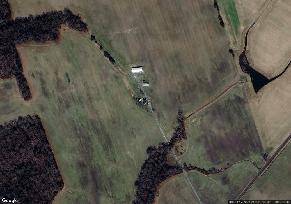
Map
Nearby Homes
- LOT #6 High Banks Dr
- 0 High Banks Dr
- 31570 Miller Rd
- 10622 Kittys Corner Rd
- 10640 Kittys Corner Rd
- 10380 Chapel Rd
- 22408 Hog Creek Rd
- 21245 Tanyard Rd
- 22109 Tanyard Rd
- lot 6 Harmony Woods Dr
- 0 Dover Bridge Rd Unit MDCM2005586
- 0 Laurel Ln
- 21682 Dover Bridge Rd
- Parcel 210 Dover Bridge Rd
- AZALEA Plan at Gannon Range
- HAYDEN Plan at Gannon Range
- CALI Plan at Gannon Range
- BRISTOL Plan at Gannon Range
- HANOVER Plan at Gannon Range
- PINE Plan at Gannon Range
- 9200 Kingston Landing Rd
- 9180 Kingston Landing Rd
- 9420 Kingston Landing Rd
- 9132 Kingston Landing Rd
- 9094 Kingston Landing Rd
- 9373 Kingston Landing Rd
- 32031 Matthewstown Rd
- 31742 Matthewstown Rd
- 31990 Matthewstown Rd
- 9451 Kingston Landing Rd
- 31652 Matthewstown Rd
- 32056 Matthewstown Rd
- 31591 Matthewstown Rd
- 32136 Matthewstown Rd
- 31856 Kingston Rd
- 31482 Matthewstown Rd
- 32170 Matthewstown Rd
- 32166 Conlyn Acres Dr
- 32181 Conlyn Acres Dr
- 32314 Matthews Rd