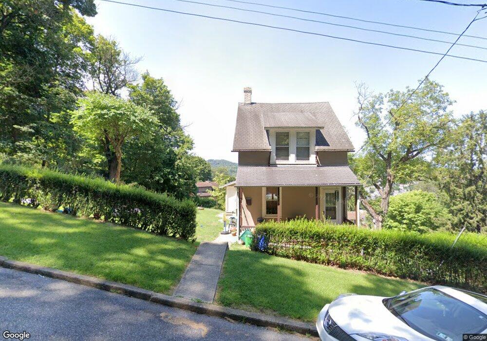
922 Carlton Ave Bethlehem, PA 18015
South Bethlehem NeighborhoodEstimated Value: $212,000 - $288,000
3
Beds
1
Bath
1,332
Sq Ft
$182/Sq Ft
Est. Value
About This Home
This home is located at 922 Carlton Ave, Bethlehem, PA 18015 and is currently estimated at $242,761, approximately $182 per square foot. 922 Carlton Ave is a home located in Northampton County with nearby schools including Fountain Hill Elementary School, Broughal Middle School, and Liberty High School.
Ownership History
Date
Name
Owned For
Owner Type
Purchase Details
Closed on
Nov 29, 2010
Sold by
Wirth Stacey and Bold Stacey Lynn
Bought by
Wirth Patrick T and Wirth Stacey
Current Estimated Value
Home Financials for this Owner
Home Financials are based on the most recent Mortgage that was taken out on this home.
Original Mortgage
$86,400
Outstanding Balance
$57,141
Interest Rate
4.24%
Mortgage Type
New Conventional
Estimated Equity
$185,620
Purchase Details
Closed on
Dec 1, 1997
Bought by
Bold Stacey Lynn
Create a Home Valuation Report for This Property
The Home Valuation Report is an in-depth analysis detailing your home's value as well as a comparison with similar homes in the area
Home Values in the Area
Average Home Value in this Area
Purchase History
| Date | Buyer | Sale Price | Title Company |
|---|---|---|---|
| Wirth Patrick T | -- | None Available | |
| Bold Stacey Lynn | $60,000 | -- |
Source: Public Records
Mortgage History
| Date | Status | Borrower | Loan Amount |
|---|---|---|---|
| Open | Wirth Patrick T | $86,400 |
Source: Public Records
Tax History Compared to Growth
Tax History
| Year | Tax Paid | Tax Assessment Tax Assessment Total Assessment is a certain percentage of the fair market value that is determined by local assessors to be the total taxable value of land and additions on the property. | Land | Improvement |
|---|---|---|---|---|
| 2025 | $333 | $30,800 | $15,900 | $14,900 |
| 2024 | $2,722 | $30,800 | $15,900 | $14,900 |
| 2023 | $2,722 | $30,800 | $15,900 | $14,900 |
| 2022 | $2,701 | $30,800 | $15,900 | $14,900 |
| 2021 | $2,683 | $30,800 | $15,900 | $14,900 |
| 2020 | $2,657 | $30,800 | $15,900 | $14,900 |
| 2019 | $2,648 | $30,800 | $15,900 | $14,900 |
| 2018 | $2,584 | $30,800 | $15,900 | $14,900 |
| 2017 | $2,553 | $30,800 | $15,900 | $14,900 |
| 2016 | -- | $30,800 | $15,900 | $14,900 |
| 2015 | -- | $30,800 | $15,900 | $14,900 |
| 2014 | -- | $30,800 | $15,900 | $14,900 |
Source: Public Records
Map
Nearby Homes
- 901 Vernon St
- 501 Sioux St
- 634 Ontario St
- 1021 Wyandotte St
- 616 Christian St
- 527 Bradley St
- 463 Montclair Ave
- 1009 Pawnee St
- 628 Cherokee St
- 427 Pawnee St
- 436 Pawnee St
- 413 Pawnee St
- 432 Cherokee St
- 419 W 4th St
- 1037 Seneca St
- 1042 Delaware Ave
- 1050 Delaware Ave
- 4315 Stonebridge Dr
- 4255 Stonebridge Dr
- 4311 Stonebridge Dr