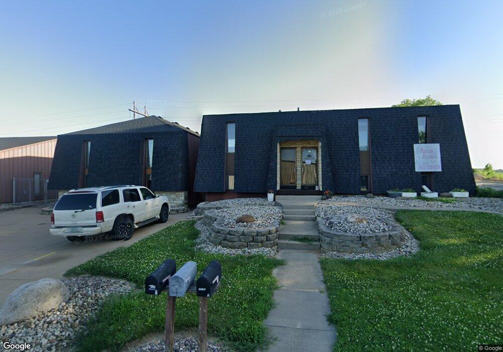
922 E 59th St Davenport, IA 52807
North Side NeighborhoodEstimated Value: $382,734
--
Bed
--
Bath
6,624
Sq Ft
$58/Sq Ft
Est. Value
About This Home
This home is located at 922 E 59th St, Davenport, IA 52807 and is currently estimated at $382,734, approximately $57 per square foot. 922 E 59th St is a home located in Scott County with nearby schools including Harrison Elementary School, Wood Intermediate School, and North High School.
Ownership History
Date
Name
Owned For
Owner Type
Purchase Details
Closed on
Feb 27, 2024
Sold by
Wells Larry L and Wells Deborah
Bought by
Brave Commercial Investments Llc
Current Estimated Value
Home Financials for this Owner
Home Financials are based on the most recent Mortgage that was taken out on this home.
Original Mortgage
$288,000
Outstanding Balance
$280,439
Interest Rate
6.6%
Mortgage Type
New Conventional
Estimated Equity
$102,295
Create a Home Valuation Report for This Property
The Home Valuation Report is an in-depth analysis detailing your home's value as well as a comparison with similar homes in the area
Home Values in the Area
Average Home Value in this Area
Purchase History
| Date | Buyer | Sale Price | Title Company |
|---|---|---|---|
| Brave Commercial Investments Llc | $360,000 | None Listed On Document |
Source: Public Records
Mortgage History
| Date | Status | Borrower | Loan Amount |
|---|---|---|---|
| Open | Brave Commercial Investments Llc | $288,000 |
Source: Public Records
Tax History Compared to Growth
Tax History
| Year | Tax Paid | Tax Assessment Tax Assessment Total Assessment is a certain percentage of the fair market value that is determined by local assessors to be the total taxable value of land and additions on the property. | Land | Improvement |
|---|---|---|---|---|
| 2025 | $10,514 | $371,290 | $54,320 | $316,970 |
| 2024 | $13,430 | $380,980 | $54,320 | $326,660 |
| 2023 | $12,112 | $469,250 | $54,320 | $414,930 |
| 2022 | $11,442 | $403,250 | $54,320 | $348,930 |
| 2021 | $11,442 | $403,250 | $54,320 | $348,930 |
| 2020 | $11,286 | $403,250 | $54,320 | $348,930 |
| 2019 | $9,898 | $371,530 | $54,320 | $317,210 |
| 2018 | $9,922 | $371,530 | $54,320 | $317,210 |
| 2017 | $8,842 | $371,530 | $54,320 | $317,210 |
| 2016 | $7,642 | $0 | $0 | $0 |
| 2015 | $7,642 | $0 | $0 | $0 |
| 2014 | $8,728 | $0 | $0 | $0 |
| 2013 | $10,976 | $0 | $0 | $0 |
| 2012 | -- | $313,400 | $79,100 | $234,300 |
Source: Public Records
Map
Nearby Homes
- 6310 Deere Creek Ln
- 6224 Deere Creek Ln
- 6208 Deere Creek Ln
- 6330 Deere Creek Ln
- 6215 Deere Creek Ln
- 6211 Deere Creek Ln
- 1010 Olde Brandy Ln
- 6319 College Ave
- 6315 College Ave
- 6311 College Ave
- 6307 College Ave
- 6303 College Ave
- 6225 College Ave
- 6221 College Ave
- 6217 College Ave
- 6209 College Ave
- 6206 College Ave
- 6210 College Ave
- 6214 College Ave
- 1070 Olde Brandy Ln
- 923 E 59th St
- 810 E 59th St
- 5920 Tremont Ave
- 730 E 59th St Unit B
- 730 E 59th St
- 730 E 59th St
- 801 E 59th St
- 710 E 59th St
- 5770 Tremont Ave
- 720 E 59th St Unit A/C
- 720 E 59th St
- 720 E 59th St Unit C
- 720 E 59th St Unit B
- 720 E 59th St Unit A
- 721 E 59th St
- 643 E 59th St
- 643 E 59th St
- 1020 E 59th St
- 5504 Tremont Ave
- 5665 Tremont Ave Unit 5111