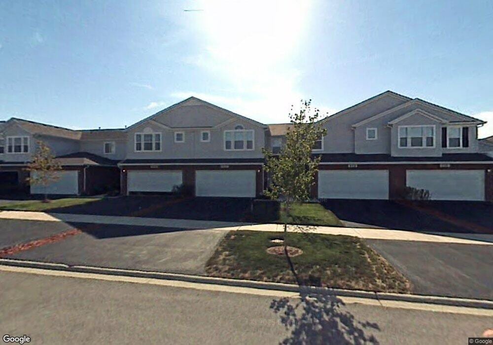
922 Fieldside Dr Unit 2 Matteson, IL 60443
West Matteson NeighborhoodEstimated Value: $267,647 - $290,000
2
Beds
3
Baths
1,668
Sq Ft
$168/Sq Ft
Est. Value
About This Home
This home is located at 922 Fieldside Dr Unit 2, Matteson, IL 60443 and is currently estimated at $280,162, approximately $167 per square foot. 922 Fieldside Dr Unit 2 is a home located in Cook County with nearby schools including Colin Powell Middle School.
Ownership History
Date
Name
Owned For
Owner Type
Purchase Details
Closed on
Nov 5, 2020
Sold by
Dixon Tami
Bought by
Hull Tadora
Current Estimated Value
Home Financials for this Owner
Home Financials are based on the most recent Mortgage that was taken out on this home.
Original Mortgage
$178,825
Interest Rate
2.37%
Mortgage Type
FHA
Create a Home Valuation Report for This Property
The Home Valuation Report is an in-depth analysis detailing your home's value as well as a comparison with similar homes in the area
Home Values in the Area
Average Home Value in this Area
Purchase History
| Date | Buyer | Sale Price | Title Company |
|---|---|---|---|
| Hull Tadora | $185,000 | Old Republic Title |
Source: Public Records
Mortgage History
| Date | Status | Borrower | Loan Amount |
|---|---|---|---|
| Previous Owner | Hull Tadora | $178,825 |
Source: Public Records
Tax History
| Year | Tax Paid | Tax Assessment Tax Assessment Total Assessment is a certain percentage of the fair market value that is determined by local assessors to be the total taxable value of land and additions on the property. | Land | Improvement |
|---|---|---|---|---|
| 2025 | $8,621 | $20,797 | $789 | $20,008 |
| 2024 | $8,621 | $20,797 | $789 | $20,008 |
| 2023 | $5,850 | $20,797 | $789 | $20,008 |
| 2022 | $5,850 | $10,929 | $610 | $10,319 |
| 2021 | $5,905 | $10,927 | $609 | $10,318 |
| 2020 | $4,086 | $10,927 | $609 | $10,318 |
| 2019 | $3,182 | $9,254 | $574 | $8,680 |
| 2018 | $3,133 | $9,254 | $574 | $8,680 |
| 2017 | $5,018 | $12,959 | $574 | $12,385 |
| 2016 | $3,060 | $8,410 | $538 | $7,872 |
| 2015 | $2,940 | $8,410 | $538 | $7,872 |
| 2014 | $4,312 | $11,291 | $538 | $10,753 |
| 2013 | $4,556 | $12,534 | $538 | $11,996 |
Source: Public Records
Map
Nearby Homes
- 6216 Pond View Dr
- 21131 Vivienne Dr
- 21143 Gray Hawk Dr Unit 2554
- 21156 Christina Dr
- 6503 Blue Sky Ln Unit 2502
- 21218 Shannon Ave
- 6158 White Birch Ln
- 6500 Pasture Side Trail
- 21206 Sophia Dr
- 0 Ridgeland Ave
- 6125 Sunflower Dr
- 6704 Bridle Path Dr
- 1010 Regent Dr
- 6306 Beaver Dam Rd
- 970 Regent Dr
- 6037 Spring Ln
- 997 Regent Dr
- 6021 Spring Ln
- 53 Brushwood Dr
- 912 Princeton Ave
- 922 Fieldside Dr Unit 1214
- 1000 Fieldside Dr Unit 1213
- 920 Fieldside Dr Unit 1215
- 1002 Fieldside Dr Unit 1212
- 918 Fieldside Dr Unit 1216
- 1004 Fieldside Dr Unit 1211
- 6325 Pond View Dr Unit 1204
- 6323 Pond View Dr Unit 1203
- 6327 Pond View Dr Unit 1205
- 1011 Berry Path Trail Unit 1186
- 6316 Berry Path Trail Unit 1175
- 6318 Berry Path Trail Unit 1174
- 917 Berry Path Trail Unit 1194
- 6320 Berry Path Trail Unit 1173
- 1001 Berry Path Trail Unit 1181
- 915 Berry Path Trail Unit 1193
- 6322 Berry Path Trail Unit 1172
- 6321 Pond View Dr Unit 1202
- 1003 Berry Path Trail Unit 1182
- 6324 Berry Path Trail Unit 1171
Your Personal Tour Guide
Ask me questions while you tour the home.