922 Jones Dr Ruther Glen, VA 22546
Estimated Value: $459,000 - $518,000
3
Beds
3
Baths
2,619
Sq Ft
$184/Sq Ft
Est. Value
About This Home
This home is located at 922 Jones Dr, Ruther Glen, VA 22546 and is currently estimated at $482,519, approximately $184 per square foot. 922 Jones Dr is a home located in Caroline County with nearby schools including Caroline Middle School and Caroline High School.
Ownership History
Date
Name
Owned For
Owner Type
Purchase Details
Closed on
Nov 23, 2021
Sold by
Fletcher Rufus D and Fletcher Rufus David
Bought by
Fletcher Rufus David Marsha and Fletcher Rufus D
Current Estimated Value
Purchase Details
Closed on
Apr 3, 2006
Sold by
Hamlet Homes Corp
Bought by
Fletcher Rufus D
Home Financials for this Owner
Home Financials are based on the most recent Mortgage that was taken out on this home.
Original Mortgage
$279,920
Interest Rate
6.25%
Mortgage Type
New Conventional
Create a Home Valuation Report for This Property
The Home Valuation Report is an in-depth analysis detailing your home's value as well as a comparison with similar homes in the area
Home Values in the Area
Average Home Value in this Area
Purchase History
| Date | Buyer | Sale Price | Title Company |
|---|---|---|---|
| Fletcher Rufus David Marsha | -- | None Listed On Document | |
| Fletcher Rufus D | $350,000 | -- |
Source: Public Records
Mortgage History
| Date | Status | Borrower | Loan Amount |
|---|---|---|---|
| Previous Owner | Fletcher Rufus D | $279,920 | |
| Previous Owner | Fletcher Rufus D | $25,000 |
Source: Public Records
Tax History Compared to Growth
Tax History
| Year | Tax Paid | Tax Assessment Tax Assessment Total Assessment is a certain percentage of the fair market value that is determined by local assessors to be the total taxable value of land and additions on the property. | Land | Improvement |
|---|---|---|---|---|
| 2025 | $377,731 | $490,560 | $65,000 | $425,560 |
| 2024 | $2,495 | $324,000 | $61,000 | $263,000 |
| 2023 | $2,495 | $324,000 | $61,000 | $263,000 |
| 2022 | $2,495 | $324,000 | $61,000 | $263,000 |
| 2021 | $2,495 | $324,000 | $61,000 | $263,000 |
| 2020 | $2,194 | $264,300 | $45,000 | $219,300 |
| 2019 | $2,194 | $264,300 | $45,000 | $219,300 |
| 2018 | $2,194 | $264,300 | $45,000 | $219,300 |
| 2017 | $2,194 | $264,300 | $45,000 | $219,300 |
| 2016 | $2,167 | $264,300 | $45,000 | $219,300 |
| 2015 | $1,777 | $261,800 | $56,000 | $205,800 |
| 2014 | $1,777 | $261,800 | $56,000 | $205,800 |
Source: Public Records
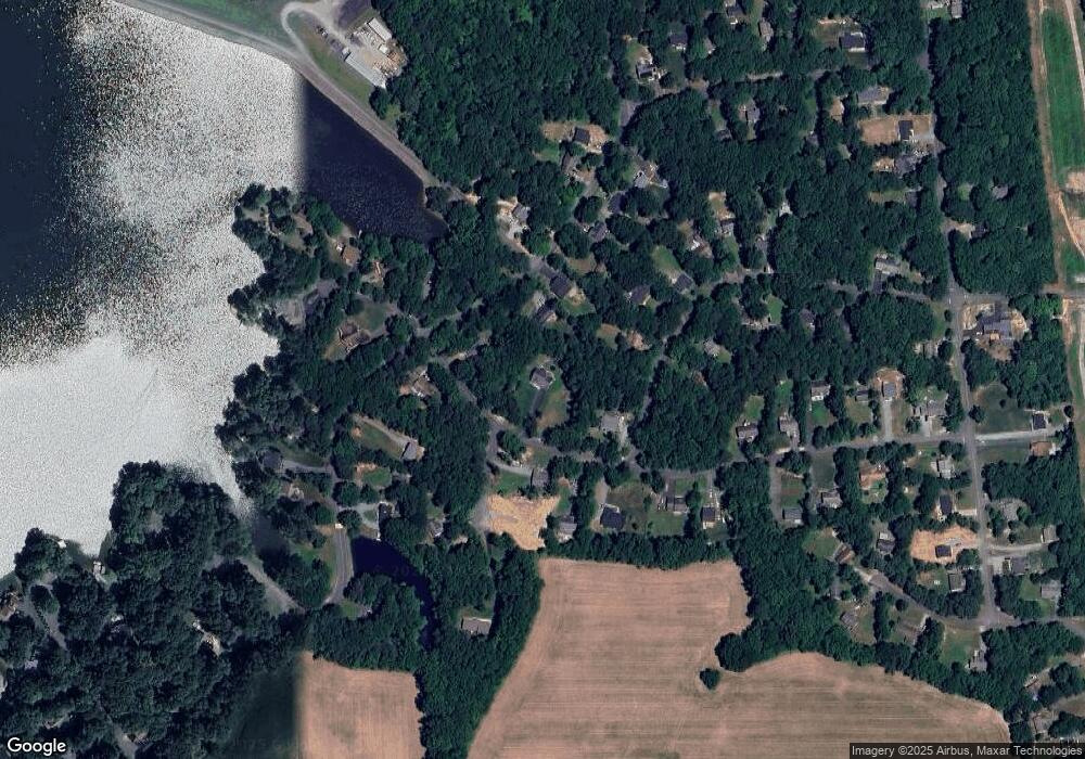
Map
Nearby Homes
- 612 Wright Dr
- 10 Mahon Cir
- 20 Greenvale Ct
- 310 Crump Dr
- 215 Woodside Ln
- 373 Land Or Dr
- 224 Woodside Ln
- 370 Land Or Dr
- 63 Bishop Cove
- 291 Land Or Dr
- 27 Athens Ln
- 621 Clover Hill Dr
- 514 Redground Dr
- 80 Albertson Ct
- 227 Kent Dr
- 880 Campers Ln
- 259 Manchester Dr
- 227 Stafford Dr
- 709 Welsh Dr
- 229 Estate Dr