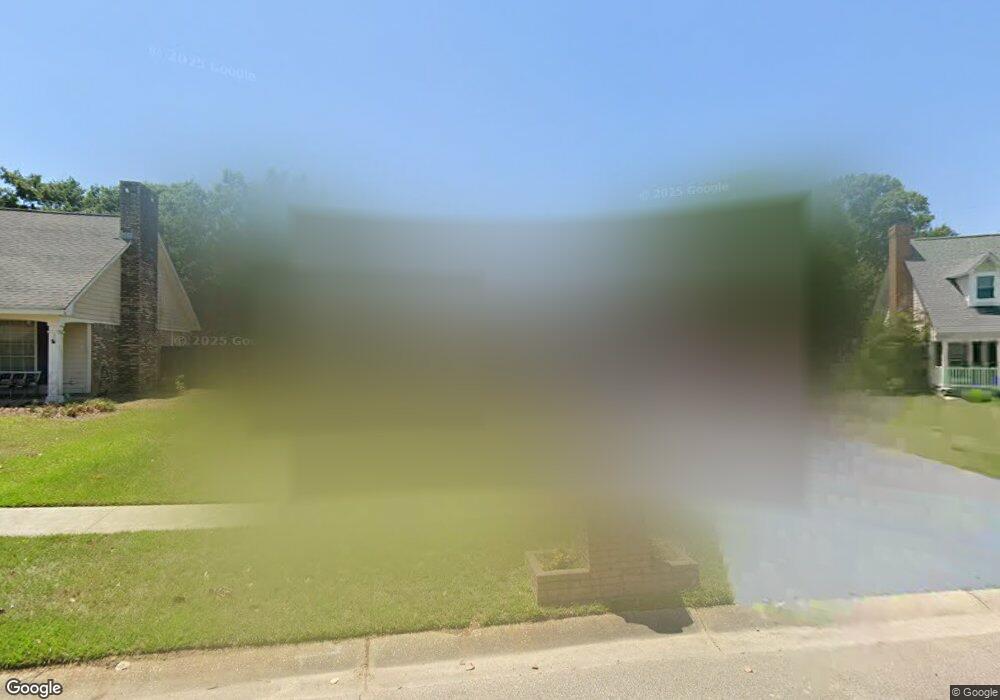
922 Marjorie St Long Beach, MS 39560
Estimated Value: $210,886 - $266,000
3
Beds
1
Bath
2,136
Sq Ft
$112/Sq Ft
Est. Value
About This Home
This home is located at 922 Marjorie St, Long Beach, MS 39560 and is currently estimated at $239,972, approximately $112 per square foot. 922 Marjorie St is a home located in Harrison County with nearby schools including Thomas L. Reeves Elementary School, Harper McCaughan Elementary School, and Long Beach Middle School.
Ownership History
Date
Name
Owned For
Owner Type
Purchase Details
Closed on
Aug 4, 2025
Sold by
Randazzo Bryan Santo
Bought by
Duncan David Johnathan and Duncan Carleen Christine
Current Estimated Value
Home Financials for this Owner
Home Financials are based on the most recent Mortgage that was taken out on this home.
Original Mortgage
$136,881
Outstanding Balance
$136,761
Interest Rate
6.67%
Mortgage Type
VA
Estimated Equity
$103,211
Purchase Details
Closed on
May 9, 2025
Sold by
Randazzo Bonita Ann and Randazzo Bryan Santo
Bought by
Randazzo Bryan Santo and Duncan Carleen Christine
Create a Home Valuation Report for This Property
The Home Valuation Report is an in-depth analysis detailing your home's value as well as a comparison with similar homes in the area
Home Values in the Area
Average Home Value in this Area
Purchase History
| Date | Buyer | Sale Price | Title Company |
|---|---|---|---|
| Duncan David Johnathan | -- | Pilger Title | |
| Randazzo Bryan Santo | -- | None Listed On Document |
Source: Public Records
Mortgage History
| Date | Status | Borrower | Loan Amount |
|---|---|---|---|
| Open | Duncan David Johnathan | $136,881 |
Source: Public Records
Tax History Compared to Growth
Tax History
| Year | Tax Paid | Tax Assessment Tax Assessment Total Assessment is a certain percentage of the fair market value that is determined by local assessors to be the total taxable value of land and additions on the property. | Land | Improvement |
|---|---|---|---|---|
| 2024 | $3,086 | $19,117 | $0 | $0 |
| 2023 | $833 | $12,745 | $0 | $0 |
| 2022 | $811 | $12,745 | $0 | $0 |
| 2021 | $716 | $12,054 | $0 | $0 |
| 2020 | $716 | $11,263 | $0 | $0 |
| 2019 | $731 | $11,263 | $0 | $0 |
| 2018 | $679 | $11,263 | $0 | $0 |
| 2017 | $679 | $11,263 | $0 | $0 |
| 2015 | $572 | $11,415 | $0 | $0 |
| 2014 | $572 | $7,500 | $0 | $0 |
| 2013 | -- | $11,358 | $2,500 | $8,858 |
Source: Public Records
Map
Nearby Homes
- Lot 1 Johnson Rd
- 7 Mary Ct
- 0 Johnson Rd Unit 4123910
- 0 Johnson Rd Unit 4123909
- 205 Alyce Place
- 108 Vance Place
- Lot 3 Johnson Rd
- Lot 2 Johnson Rd
- 121 Vance Place
- 119 N Seashore Ave
- 211 Hawthorne Dr
- 1028 Pino St
- 602 Verbena Dr
- 1012 Enclave Cir
- 0 Destiny Oaks Dr Unit 4120032
- 138 Destiny Oaks Dr
- 147 Sea Oaks Blvd
- 134 Destiny Oaks Dr
- 3 Briarwood Cir
- 914 Beatrice Dr
- 920 Marjorie St
- 416 Augustine St
- 416 Saint Augustine Ave
- 924 Marjorie St
- 917 Marjorie St
- 418 Saint Augustine Ave
- 418 St Augustine Ave
- 918 Marjorie St
- 915 Marjorie St
- 916 Marjorie St
- 415 Saint Augustine Ave
- 415 St Augustine Ave
- 413 Saint Augustine Ave
- 420 Saint Augustine Ave
- 410 St Augustine Ave
- 410 Saint Augustine Ave
- 417 St Augustine Ave
- 417 Saint Augustine Ave
- 417 Augustine St
- 411 St Augustine Ave