922 Neikirk Dr Morristown, TN 37813
Estimated Value: $132,694 - $186,000
--
Bed
1
Bath
864
Sq Ft
$193/Sq Ft
Est. Value
About This Home
This home is located at 922 Neikirk Dr, Morristown, TN 37813 and is currently estimated at $166,424, approximately $192 per square foot. 922 Neikirk Dr is a home located in Hamblen County with nearby schools including Lincoln Heights Elementary School, Lincoln Heights Middle School, and Morristown West High School.
Ownership History
Date
Name
Owned For
Owner Type
Purchase Details
Closed on
Jul 6, 1998
Bought by
Trent Timothy L and Trent Teresa Lynn
Current Estimated Value
Purchase Details
Closed on
Feb 8, 1992
Bought by
Trent Timothy L and Teresa Lynn
Purchase Details
Closed on
Sep 17, 1991
Bought by
Home Federal Savings Bank
Purchase Details
Closed on
Mar 5, 1986
Bought by
Massengill Dallas and Violet Ann
Purchase Details
Closed on
Nov 16, 1982
Bought by
Martin Dewey R and Martin Ellen
Purchase Details
Closed on
Jan 1, 1972
Bought by
Persinger Horace W and Persinger Alva
Create a Home Valuation Report for This Property
The Home Valuation Report is an in-depth analysis detailing your home's value as well as a comparison with similar homes in the area
Home Values in the Area
Average Home Value in this Area
Purchase History
| Date | Buyer | Sale Price | Title Company |
|---|---|---|---|
| Trent Timothy L | $300 | -- | |
| Trent Timothy L | $21,500 | -- | |
| Home Federal Savings Bank | $13,500 | -- | |
| Massengill Dallas | -- | -- | |
| Martin Dewey R | -- | -- | |
| Persinger Horace W | -- | -- |
Source: Public Records
Tax History Compared to Growth
Tax History
| Year | Tax Paid | Tax Assessment Tax Assessment Total Assessment is a certain percentage of the fair market value that is determined by local assessors to be the total taxable value of land and additions on the property. | Land | Improvement |
|---|---|---|---|---|
| 2024 | $278 | $15,800 | $3,275 | $12,525 |
| 2023 | $278 | $15,800 | $0 | $0 |
| 2022 | $499 | $15,800 | $3,275 | $12,525 |
| 2021 | $499 | $15,800 | $3,275 | $12,525 |
| 2020 | $499 | $15,800 | $3,275 | $12,525 |
| 2019 | $512 | $15,050 | $3,400 | $11,650 |
| 2018 | $474 | $15,050 | $3,400 | $11,650 |
| 2017 | $467 | $15,050 | $3,400 | $11,650 |
| 2016 | $446 | $15,050 | $3,400 | $11,650 |
| 2015 | $414 | $15,050 | $3,400 | $11,650 |
| 2014 | -- | $15,050 | $3,400 | $11,650 |
| 2013 | -- | $16,000 | $0 | $0 |
Source: Public Records
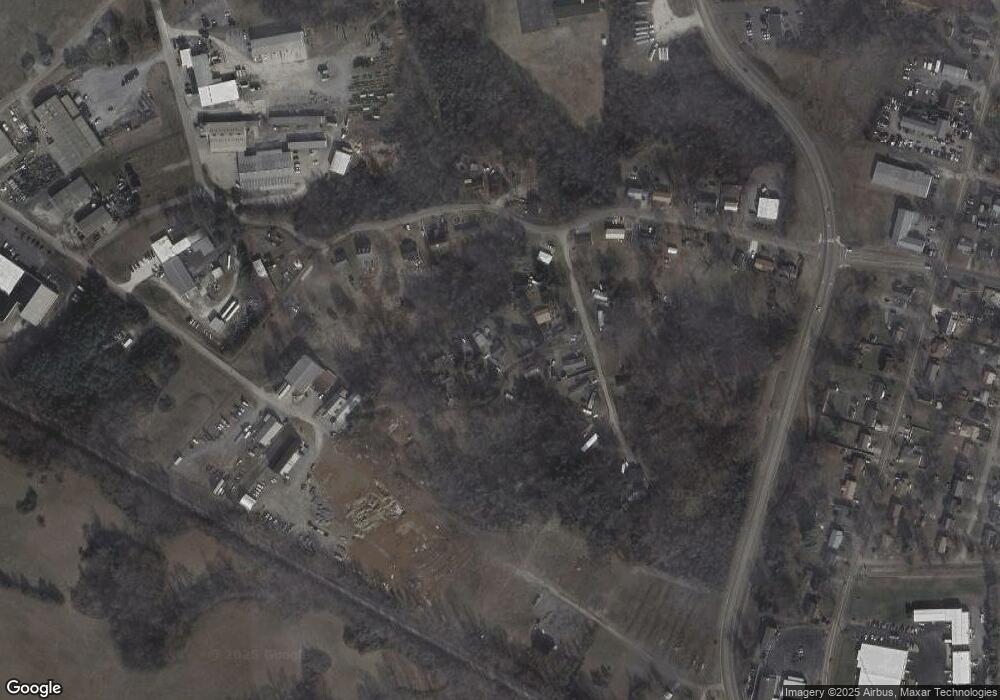
Map
Nearby Homes
- 440 S Fairmont Ave
- Darwin Plan at Southwood
- Penwell Plan at Southwood
- Elston Plan at Southwood
- Robie Plan at Southwood
- Cali Plan at Southwood
- Belhaven Plan at Southwood
- 1049 Greenway Dr
- 2018 Southwood Cir
- 1530 Rayburn Dr
- 1476 Darbee Dr
- 837 Pauline Ave
- 1211 W 6th St N
- 2444 Sandstone Dr
- 2454 Sandstone Dr
- 2430 Sandstone Dr
- 203 Lincoln Ave
- 2310 Sandstone Dr
- 707 Walters Dr
- 731 Lennie Ave
- 918 Neikirk Dr
- 926 Neikirk Dr
- 1684 Bishop Ln
- 910 Neikirk Dr
- 954 Neikirk Dr
- 950 Neikirk Dr
- 962 Neikirk Dr
- 1821 Thomas R James Dr
- 0 Neikirk Dr
- 1853 Thomas R James Dr
- 974 Neikirk Dr
- 942 Neikirk Dr
- 978 Neikirk Dr
- 909 Neikirk Dr
- 1887 Thomas R James Dr
- 1895 Thomas R James Dr
- 961 Neikirk Dr
- 1719 Thomas R James Dr
- 1840 Thomas R James Dr
- 0 Thomas R James Dr