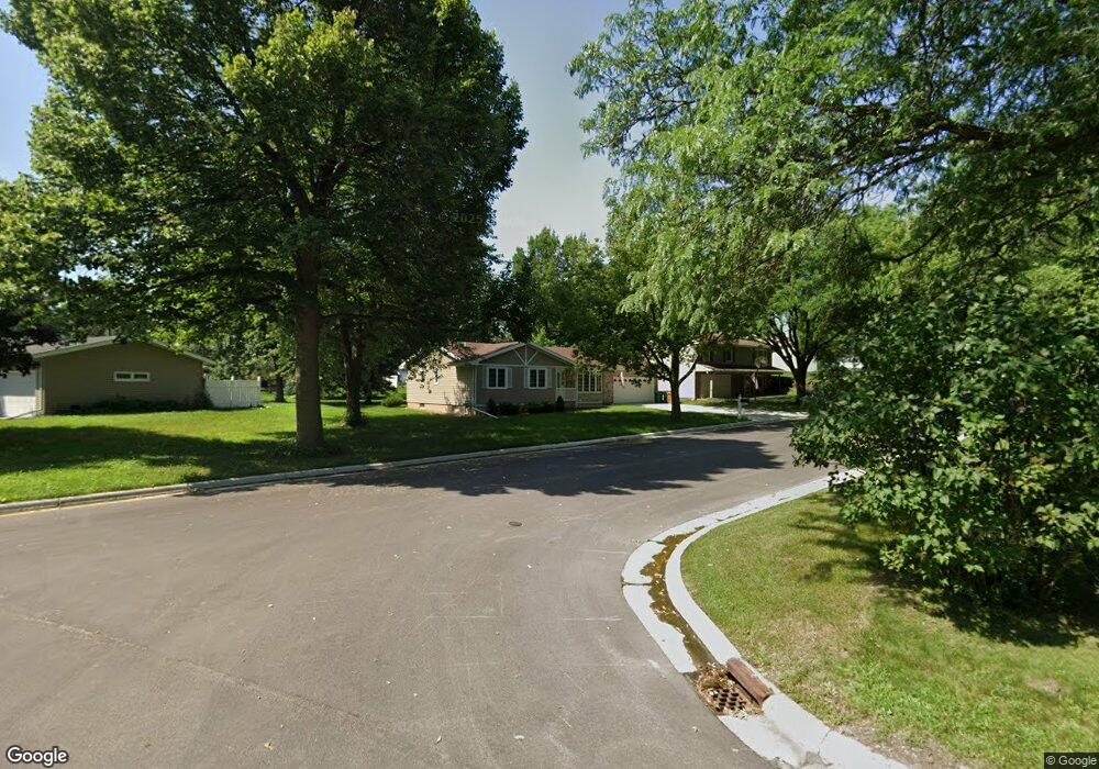
922 Spicer Rd Albert Lea, MN 56007
Estimated Value: $213,000 - $311,000
3
Beds
2
Baths
1,260
Sq Ft
$206/Sq Ft
Est. Value
About This Home
This home is located at 922 Spicer Rd, Albert Lea, MN 56007 and is currently estimated at $259,062, approximately $205 per square foot. 922 Spicer Rd is a home located in Freeborn County with nearby schools including Hawthorne Elementary School, Southwest Middle School, and Albert Lea Senior High School.
Ownership History
Date
Name
Owned For
Owner Type
Purchase Details
Closed on
Jul 18, 2024
Sold by
Folie Katherine
Bought by
Guenou Olivia
Current Estimated Value
Home Financials for this Owner
Home Financials are based on the most recent Mortgage that was taken out on this home.
Original Mortgage
$235,653
Outstanding Balance
$232,838
Interest Rate
6.99%
Mortgage Type
New Conventional
Estimated Equity
$26,224
Create a Home Valuation Report for This Property
The Home Valuation Report is an in-depth analysis detailing your home's value as well as a comparison with similar homes in the area
Home Values in the Area
Average Home Value in this Area
Purchase History
| Date | Buyer | Sale Price | Title Company |
|---|---|---|---|
| Guenou Olivia | $240,000 | -- |
Source: Public Records
Mortgage History
| Date | Status | Borrower | Loan Amount |
|---|---|---|---|
| Open | Guenou Olivia | $235,653 |
Source: Public Records
Tax History
| Year | Tax Paid | Tax Assessment Tax Assessment Total Assessment is a certain percentage of the fair market value that is determined by local assessors to be the total taxable value of land and additions on the property. | Land | Improvement |
|---|---|---|---|---|
| 2025 | $4,088 | $238,300 | $21,200 | $217,100 |
| 2024 | $2,716 | $217,500 | $21,200 | $196,300 |
| 2023 | $2,724 | $194,200 | $21,200 | $173,000 |
| 2022 | $2,550 | $195,200 | $21,200 | $174,000 |
| 2021 | $2,610 | $161,700 | $21,200 | $140,500 |
| 2020 | $2,078 | $136,200 | $19,600 | $116,600 |
| 2019 | $1,720 | $118,600 | $17,200 | $101,400 |
| 2018 | $1,440 | $0 | $0 | $0 |
| 2016 | $1,256 | $0 | $0 | $0 |
| 2015 | $1,172 | $0 | $0 | $0 |
| 2014 | $1,452 | $0 | $0 | $0 |
| 2012 | $1,418 | $0 | $0 | $0 |
Source: Public Records
Map
Nearby Homes
- 1105 Crestview Rd
- 824 Minnie Maddern St
- 1020 Saint Jacob Ave
- 1626 Keystone Dr
- 1200 Crestview Rd
- 319 Glenn Rd
- 808 Freeborn Ave
- 307 E Richway Dr
- 313 Glenn Rd
- 717 Garfield Ave
- 613 & 615 Giles Place
- 618 & 620 Giles Place
- 902 Clausen Ave
- 614 Garfield Ave
- 602 Minnesota Ave
- 1405 Johnson St
- 105 E Hawthorne St
- 1116 Lakewood Ave
- 522 Alice Ave
- 101 E Hawthorne St
- 918 Spicer Rd
- 1004 Fairlane Terrace
- 1009 Foothills Cir
- 1013 Foothills Cir
- 1005 Foothills Cir
- 914 Spicer Rd
- 910 Fairlane Terrace
- 1101 Foothills Cir
- 1006 Fairlane Terrace
- 1001 Spicer Rd
- 909 Spicer Rd
- 1003 Fairlane Terrace
- 910 Spicer Rd
- 906 Fairlane Terrace
- 1005 Fairlane Terrace
- 1002 Crestview Rd
- 1010 Foothills Cir
- 1105 Foothills Cir
- 1005 Spicer Rd
- 1007 Fairlane Terrace