922 Wynstone Cir N Oakland, MI 48363
Estimated Value: $587,354 - $656,000
4
Beds
3
Baths
2,373
Sq Ft
$263/Sq Ft
Est. Value
About This Home
This home is located at 922 Wynstone Cir N, Oakland, MI 48363 and is currently estimated at $623,089, approximately $262 per square foot. 922 Wynstone Cir N is a home located in Oakland County with nearby schools including Hamilton Parsons Elementary School.
Ownership History
Date
Name
Owned For
Owner Type
Purchase Details
Closed on
Jun 30, 2017
Sold by
Mjc Wynstone Llc
Bought by
Henry Brendt A and Henry Kelly A
Current Estimated Value
Home Financials for this Owner
Home Financials are based on the most recent Mortgage that was taken out on this home.
Original Mortgage
$367,630
Outstanding Balance
$305,941
Interest Rate
3.95%
Mortgage Type
New Conventional
Estimated Equity
$317,148
Purchase Details
Closed on
Aug 25, 2014
Sold by
Herdman James A and Herdman Angela M
Bought by
James & Angela Herdman Living Trust
Purchase Details
Closed on
Aug 27, 2013
Sold by
Lombardo Homes Of Se Michigan Llc
Bought by
Herdman James A and Herdman Angela M
Home Financials for this Owner
Home Financials are based on the most recent Mortgage that was taken out on this home.
Original Mortgage
$274,030
Interest Rate
4.38%
Mortgage Type
New Conventional
Create a Home Valuation Report for This Property
The Home Valuation Report is an in-depth analysis detailing your home's value as well as a comparison with similar homes in the area
Home Values in the Area
Average Home Value in this Area
Purchase History
| Date | Buyer | Sale Price | Title Company |
|---|---|---|---|
| Henry Brendt A | $379,000 | None Available | |
| James & Angela Herdman Living Trust | -- | None Available | |
| Herdman James A | $288,455 | Greater Macomb Title Agency | |
| Lombardo Homes Se Michigan Llc | -- | Greater Macomb Title Agency |
Source: Public Records
Mortgage History
| Date | Status | Borrower | Loan Amount |
|---|---|---|---|
| Open | Henry Brendt A | $367,630 | |
| Previous Owner | Lombardo Homes Se Michigan Llc | $274,030 |
Source: Public Records
Tax History Compared to Growth
Tax History
| Year | Tax Paid | Tax Assessment Tax Assessment Total Assessment is a certain percentage of the fair market value that is determined by local assessors to be the total taxable value of land and additions on the property. | Land | Improvement |
|---|---|---|---|---|
| 2024 | $3,291 | $221,600 | $0 | $0 |
| 2023 | $3,172 | $205,490 | $0 | $0 |
| 2022 | $4,157 | $191,830 | $0 | $0 |
| 2021 | $3,925 | $188,720 | $0 | $0 |
| 2020 | $2,931 | $181,240 | $0 | $0 |
| 2019 | $3,534 | $176,880 | $0 | $0 |
| 2018 | $3,453 | $170,700 | $0 | $0 |
| 2017 | $3,332 | $167,620 | $0 | $0 |
| 2016 | $3,354 | $162,020 | $0 | $0 |
| 2015 | -- | $147,550 | $0 | $0 |
| 2014 | -- | $133,940 | $0 | $0 |
| 2011 | -- | $43,700 | $0 | $0 |
Source: Public Records
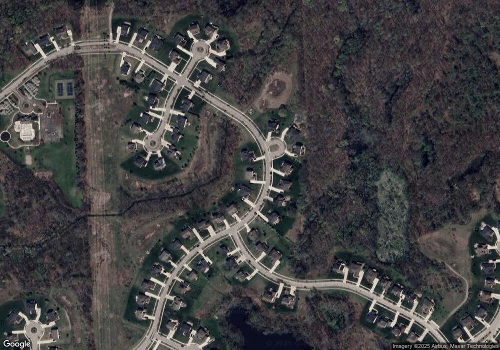
Map
Nearby Homes
- 1111 Rush Rd
- 728 E Romeo Rd
- 1615 E Predmore Rd
- 400 E Romeo Rd
- 34 Fern Dr Unit 20
- 270 N Rochester Rd
- 000 Parks
- 2434 Pebble Beach Dr Unit 63
- 7376 Mulberry Dr
- 2612 Invitational Dr
- 990 Brewer Rd
- 931 Rochester Rd
- The Rockford Plan at Tamarack Heights
- The Jefferson II Plan at Tamarack Heights
- The Everest Plan at Tamarack Heights
- The Harrison Plan at Tamarack Heights
- The Jefferson Plan at Tamarack Heights
- The Dover Plan at Tamarack Heights
- The Washington Plan at Tamarack Heights
- 2.05 Acres VL - Knights Bridge
- 948 Wynstone Cir N
- 894 Wynstone Cir S
- 941 Wynstone Cir N Unit 96
- 871 Wynstone Cir N
- 871 Wynstone Cir S
- 877 Wynstone Cir N Unit 91
- 903 Wynstone Cir N
- 861 Parkway Trail
- 859 Wynstone Cir N
- 859 Wynstone Cir S
- 885 Parkway Trail
- 675 Melrose Ct
- 661 Melrose Ct
- 860 Parkway Trail
- 847 Wynstone Cir S
- 693 Melrose Ct Unit 82
- 876 Parkway Trail
- 629 Melrose Ct
- 842 Wynstone Cir S
- 894 Parkway Trail Unit Bldg-Unit