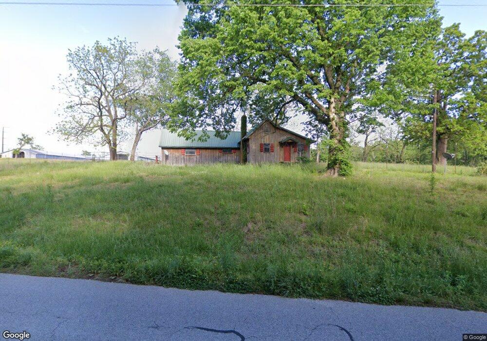
9220 Wpa Rd Decatur, AR 72722
Estimated Value: $394,000 - $497,000
--
Bed
1
Bath
3,285
Sq Ft
$136/Sq Ft
Est. Value
About This Home
This home is located at 9220 Wpa Rd, Decatur, AR 72722 and is currently estimated at $445,500, approximately $135 per square foot. 9220 Wpa Rd is a home with nearby schools including Decatur Northside Elementary School, Decatur Middle School, and Decatur High School.
Ownership History
Date
Name
Owned For
Owner Type
Purchase Details
Closed on
Jan 31, 2006
Sold by
The Ross Wilmoth Revocable Trust and Wilmonth Charles William
Bought by
Wilmoth Charles William and The Ross Wilmoth Revocable Trust
Current Estimated Value
Purchase Details
Closed on
Jun 30, 1997
Bought by
Re F Wilmoth Tr
Create a Home Valuation Report for This Property
The Home Valuation Report is an in-depth analysis detailing your home's value as well as a comparison with similar homes in the area
Home Values in the Area
Average Home Value in this Area
Purchase History
| Date | Buyer | Sale Price | Title Company |
|---|---|---|---|
| Wilmoth Charles William | -- | None Available | |
| Re F Wilmoth Tr | -- | -- | |
| Re R Wilmoth Tr | -- | -- | |
| F Wilmoth Tr | -- | -- | |
| R Wilmoth Tr | -- | -- |
Source: Public Records
Tax History Compared to Growth
Tax History
| Year | Tax Paid | Tax Assessment Tax Assessment Total Assessment is a certain percentage of the fair market value that is determined by local assessors to be the total taxable value of land and additions on the property. | Land | Improvement |
|---|---|---|---|---|
| 2025 | $2,605 | $59,107 | $10,285 | $48,822 |
| 2024 | $2,300 | $60,562 | $10,285 | $50,277 |
| 2023 | $2,091 | $47,040 | $5,890 | $41,150 |
| 2022 | $2,048 | $47,040 | $5,890 | $41,150 |
| 2021 | $1,873 | $47,040 | $5,890 | $41,150 |
| 2020 | $1,705 | $34,230 | $5,200 | $29,030 |
| 2019 | $1,705 | $34,230 | $5,200 | $29,030 |
| 2018 | $1,616 | $34,230 | $5,200 | $29,030 |
| 2017 | $1,616 | $34,230 | $5,200 | $29,030 |
| 2016 | $1,616 | $34,230 | $5,200 | $29,030 |
| 2015 | $2,122 | $45,140 | $5,140 | $40,000 |
| 2014 | $2,129 | $45,140 | $5,140 | $40,000 |
Source: Public Records
Map
Nearby Homes
- 159 Acres MOL Safari Rd
- 21743 Bozarth Cemetery Rd
- 20894 Floyd Moore Rd
- 22006 Bozarth Cemetery Rd
- 9586 Browning Rd
- 21214 Floyd Moore Rd
- 0 Bozarth Cemetery Rd
- 21854 Floyd Moore Rd
- 22.56 Acres Floyd Moore Rd
- TBD Floyd Moore Rd
- 0 Y City Rd Unit 1301343
- 22443 Floyd Moore Rd
- 800 Buffalo Ave
- 9065 Pine Grove Rd
- TBD N Bloomfield Rd
- 302 W Fulton St
- 604 W Eureka St
- 612 Meadow Brook Ct
- 513 N Byers Ave
- 11230 John Zodrow Rd