9222 Highway 126 Florence, OR 97439
Estimated Value: $634,076 - $863,000
3
Beds
2
Baths
2,536
Sq Ft
$295/Sq Ft
Est. Value
About This Home
This home is located at 9222 Highway 126, Florence, OR 97439 and is currently estimated at $748,019, approximately $294 per square foot. 9222 Highway 126 is a home located in Lane County with nearby schools including Siuslaw Elementary School, Siuslaw Middle School, and Siuslaw High School.
Ownership History
Date
Name
Owned For
Owner Type
Purchase Details
Closed on
Nov 21, 2014
Sold by
Hale Greta L and The Buddy R Hale & Greta L Hal
Bought by
Pearson Joseph M and Pearson Nancy E
Current Estimated Value
Home Financials for this Owner
Home Financials are based on the most recent Mortgage that was taken out on this home.
Original Mortgage
$279,000
Outstanding Balance
$212,707
Interest Rate
3.95%
Mortgage Type
New Conventional
Estimated Equity
$535,312
Purchase Details
Closed on
Jun 11, 2012
Sold by
Hale Buddy and Hale Greta
Bought by
Hale Buddy R and Hale Greta L
Purchase Details
Closed on
Aug 13, 2002
Sold by
Christiansen Kathy A
Bought by
Hale Buddy and Hale Greta
Purchase Details
Closed on
Sep 28, 1998
Sold by
Bockwoldt Jack C and Bockwoldt Afton H
Bought by
Christiansen Kathy A
Create a Home Valuation Report for This Property
The Home Valuation Report is an in-depth analysis detailing your home's value as well as a comparison with similar homes in the area
Home Values in the Area
Average Home Value in this Area
Purchase History
| Date | Buyer | Sale Price | Title Company |
|---|---|---|---|
| Pearson Joseph M | $382,500 | First American Title | |
| Hale Buddy R | -- | Accommodation | |
| Hale Buddy | $246,000 | Western Pioneer Title Co | |
| Christiansen Kathy A | -- | Western Pioneer Title Co |
Source: Public Records
Mortgage History
| Date | Status | Borrower | Loan Amount |
|---|---|---|---|
| Open | Pearson Joseph M | $279,000 |
Source: Public Records
Tax History Compared to Growth
Tax History
| Year | Tax Paid | Tax Assessment Tax Assessment Total Assessment is a certain percentage of the fair market value that is determined by local assessors to be the total taxable value of land and additions on the property. | Land | Improvement |
|---|---|---|---|---|
| 2025 | $4,074 | $370,552 | -- | -- |
| 2024 | $3,947 | $359,760 | -- | -- |
| 2023 | $3,947 | $349,282 | $0 | $0 |
| 2022 | $3,677 | $339,109 | $0 | $0 |
| 2021 | $3,574 | $329,233 | $0 | $0 |
| 2020 | $3,470 | $319,644 | $0 | $0 |
| 2019 | $3,333 | $310,334 | $0 | $0 |
| 2018 | $3,368 | $292,520 | $0 | $0 |
| 2017 | $3,243 | $292,520 | $0 | $0 |
| 2016 | $3,151 | $284,000 | $0 | $0 |
| 2015 | $3,008 | $275,728 | $0 | $0 |
| 2014 | $2,966 | $267,697 | $0 | $0 |
Source: Public Records
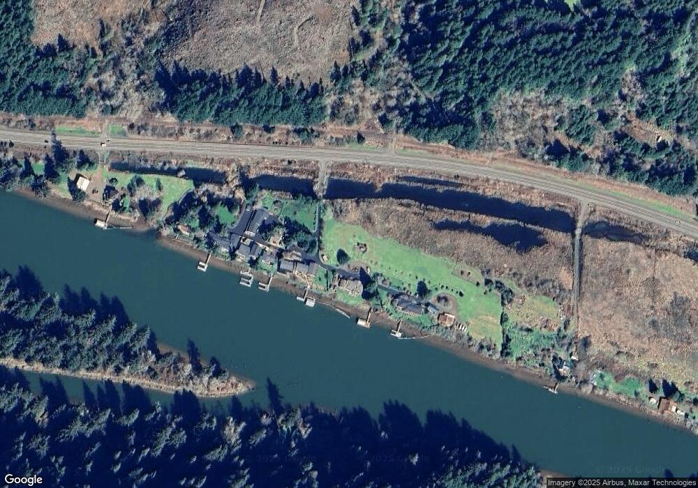
Map
Nearby Homes
- 0 Munsel Lake Rd Unit 23145536
- 0 Nordahl Rd Unit 728106937
- 325 Jonathan Ln
- 3562 Jake Mann Ln
- 3314 Munsel Lake Rd
- 0 Jake Mann Ln Unit 8400 23185526
- 3292 Munsel Lake Rd
- 0 Ocean View Dr
- 39 Ocean Dunes Dr
- 3636 Ocean View Dr
- 3000 Maple Ln
- 216 Munsel Creek Loop
- 7 Onadoone Ct
- 507 Robin Ln
- 0 Munsel Lake-Tl00301 Rd
- 3890 Spruce St
- 0 Tl00600 Unit 273098679
- 865 Western Way
- 3760 Highway 101 Unit 16
- 87735 Highway 101 Unit 28
- 9412 Highway 126
- 9340 Highway 126
- 8441 Highway 126
- 8374 Highway 126
- 8424 Highway 126
- 9144 Highway 126
- 8318 Highway 126
- 9340 Highway 126
- 8441 Highway 126
- 8340 Highway 126
- 6035 N Fork Siuslaw Rd
- 5859 Martin Rd
- 5955 N Fork Siuslaw Rd
- 5864 Martin Rd
- 5840 Martin Rd
- 5816 Martin Rd
- 5772 Nicholson Rd
- 5784 Martin Rd
- 5760 Nicholson Rd
- 5742 Nicholson Rd