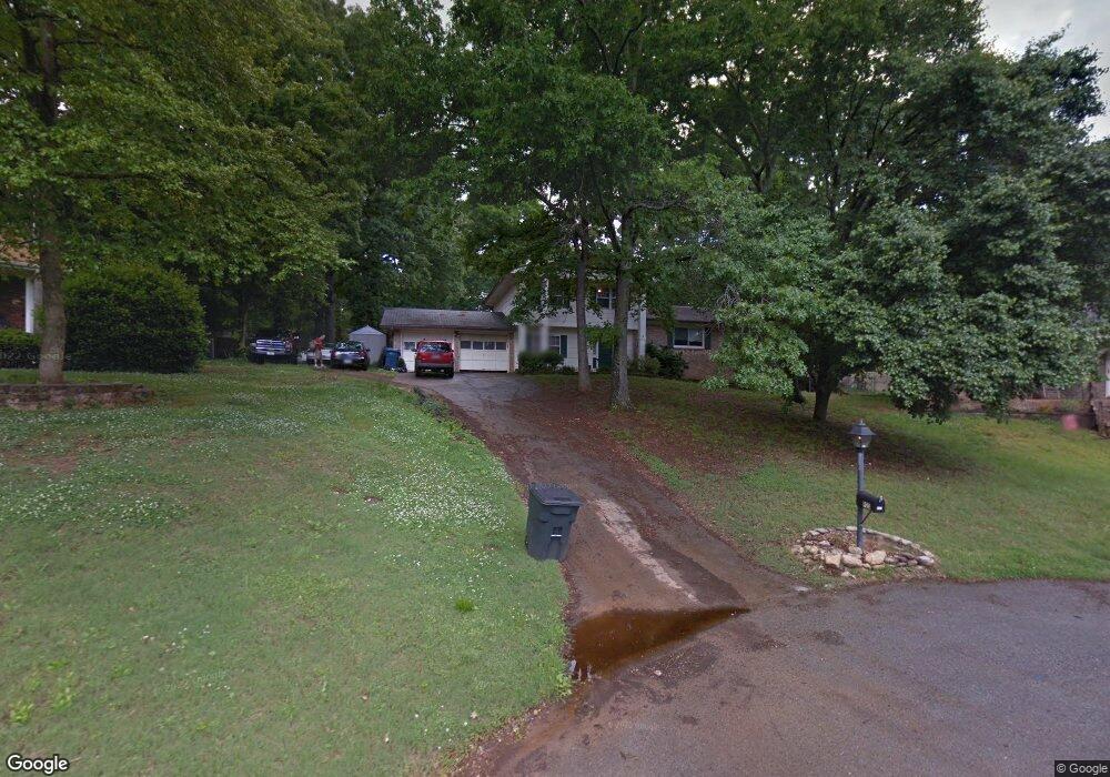
923 Carrie Ln Hixson, TN 37343
Estimated Value: $251,590 - $324,000
--
Bed
1
Bath
1,916
Sq Ft
$157/Sq Ft
Est. Value
About This Home
This home is located at 923 Carrie Ln, Hixson, TN 37343 and is currently estimated at $300,648, approximately $156 per square foot. 923 Carrie Ln is a home located in Hamilton County with nearby schools including Ganns Middle Valley Elementary School, Hixson Middle School, and Hixson High School.
Ownership History
Date
Name
Owned For
Owner Type
Purchase Details
Closed on
Dec 20, 2024
Sold by
Susskind Glenn Richard
Bought by
Susskind Glenn Richard and Susskind Tonya Marie
Current Estimated Value
Purchase Details
Closed on
Jul 6, 2007
Sold by
Hill Jimmy G and Hill Gloria M
Bought by
Susskind Glenn Richard
Home Financials for this Owner
Home Financials are based on the most recent Mortgage that was taken out on this home.
Original Mortgage
$68,000
Interest Rate
6.37%
Mortgage Type
Purchase Money Mortgage
Create a Home Valuation Report for This Property
The Home Valuation Report is an in-depth analysis detailing your home's value as well as a comparison with similar homes in the area
Home Values in the Area
Average Home Value in this Area
Purchase History
| Date | Buyer | Sale Price | Title Company |
|---|---|---|---|
| Susskind Glenn Richard | -- | None Listed On Document | |
| Susskind Glenn Richard | $85,000 | None Available |
Source: Public Records
Mortgage History
| Date | Status | Borrower | Loan Amount |
|---|---|---|---|
| Previous Owner | Susskind Glenn Richard | $68,000 |
Source: Public Records
Tax History Compared to Growth
Tax History
| Year | Tax Paid | Tax Assessment Tax Assessment Total Assessment is a certain percentage of the fair market value that is determined by local assessors to be the total taxable value of land and additions on the property. | Land | Improvement |
|---|---|---|---|---|
| 2024 | $1,047 | $46,800 | $0 | $0 |
| 2023 | $1,056 | $46,800 | $0 | $0 |
| 2022 | $1,056 | $46,800 | $0 | $0 |
| 2021 | $1,056 | $46,800 | $0 | $0 |
| 2020 | $1,031 | $36,975 | $0 | $0 |
| 2019 | $1,031 | $36,975 | $0 | $0 |
| 2018 | $1,031 | $36,975 | $0 | $0 |
| 2017 | $1,031 | $36,975 | $0 | $0 |
| 2016 | $1,020 | $0 | $0 | $0 |
| 2015 | $1,020 | $36,550 | $0 | $0 |
| 2014 | $1,020 | $0 | $0 | $0 |
Source: Public Records
Map
Nearby Homes
- 920 Carrie Ln
- 7812 Huntington Forest Dr
- 7626 Wynhill Ln
- 7770 Lenox Trace Dr
- 999 Wyndsor Dr
- 1343 Thrasher Pike
- 6506 Middle Valley Rd
- 1640 Thrasher Pike
- 1861 Abington Farms Way
- 8665 Reba Ln
- 1948 Abington Farms Way
- 1713 Thrasher Pike
- 1705 Longview St
- 8692 Arbutus Dr
- 8706 Arbutus Dr
- 1732 Longview St
- 7433 Paxton Cir
- 7489 Paxton Cir
- 7392 Paxton Cir
- Ivy Springs Plan at Paxton Pointe
- 919 Carrie Ln
- 7827 Huntington Forest Dr
- 7823 Huntington Forest Dr
- 7855 Huntington Forest Dr
- 7829 Huntington Forest Dr
- 922 Carrie Ln
- 7853 Huntington Forest Dr
- 917 Carrie Ln
- 7821 Huntington Forest Dr
- 913 Huntington Cir
- 7833 Huntington Forest Dr
- 919 Huntington Cir
- 7849 Huntington Forest Dr
- 7828 Huntington Forest Dr
- 7824 Huntington Forest Dr
- 7819 Huntington Forest Dr
- 7830 Huntington Forest Dr
- 7822 Huntington Forest Dr
- 921 Huntington Cir
- 7852 Huntington Forest Dr