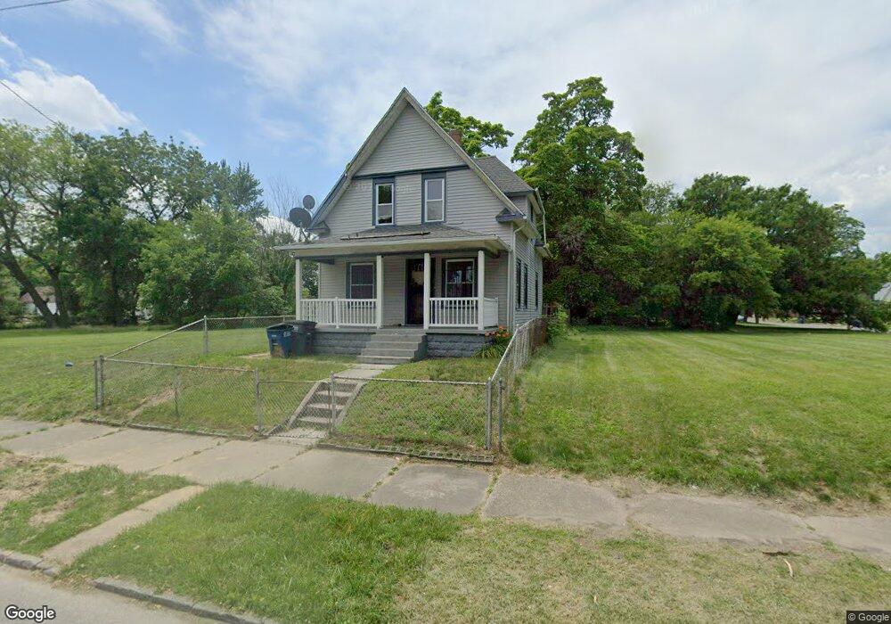
923 Heston St Toledo, OH 43607
ONYX NeighborhoodEstimated Value: $36,000 - $65,000
4
Beds
1
Bath
1,188
Sq Ft
$46/Sq Ft
Est. Value
About This Home
This home is located at 923 Heston St, Toledo, OH 43607 and is currently estimated at $54,093, approximately $45 per square foot. 923 Heston St is a home located in Lucas County with nearby schools including Pickett Elementary School, Jesup W. Scott High School, and Explorers Academy.
Ownership History
Date
Name
Owned For
Owner Type
Purchase Details
Closed on
Aug 9, 2024
Sold by
Kemp Robert Lee
Bought by
923 Heston St Revocable Family Trust and Mountain Shamrock Properties Llc
Current Estimated Value
Home Financials for this Owner
Home Financials are based on the most recent Mortgage that was taken out on this home.
Original Mortgage
$30,000
Outstanding Balance
$29,662
Interest Rate
6.89%
Mortgage Type
New Conventional
Estimated Equity
$24,431
Create a Home Valuation Report for This Property
The Home Valuation Report is an in-depth analysis detailing your home's value as well as a comparison with similar homes in the area
Home Values in the Area
Average Home Value in this Area
Purchase History
| Date | Buyer | Sale Price | Title Company |
|---|---|---|---|
| 923 Heston St Revocable Family Trust | $28,500 | None Listed On Document |
Source: Public Records
Mortgage History
| Date | Status | Borrower | Loan Amount |
|---|---|---|---|
| Open | 923 Heston St Revocable Family Trust | $30,000 |
Source: Public Records
Tax History Compared to Growth
Tax History
| Year | Tax Paid | Tax Assessment Tax Assessment Total Assessment is a certain percentage of the fair market value that is determined by local assessors to be the total taxable value of land and additions on the property. | Land | Improvement |
|---|---|---|---|---|
| 2024 | $288 | $7,735 | $1,190 | $6,545 |
| 2023 | $537 | $6,825 | $1,155 | $5,670 |
| 2022 | $544 | $6,825 | $1,155 | $5,670 |
| 2021 | $546 | $6,825 | $1,155 | $5,670 |
| 2020 | $561 | $6,265 | $1,120 | $5,145 |
| 2019 | $557 | $6,265 | $1,120 | $5,145 |
| 2018 | $543 | $6,265 | $1,120 | $5,145 |
| 2017 | $554 | $5,845 | $1,295 | $4,550 |
| 2016 | $1,191 | $16,700 | $3,700 | $13,000 |
| 2015 | $537 | $16,700 | $3,700 | $13,000 |
| 2014 | $552 | $5,850 | $1,300 | $4,550 |
| 2013 | $368 | $5,850 | $1,300 | $4,550 |
Source: Public Records
Map
Nearby Homes
- 834 N Detroit Ave
- 901 N Detroit Ave
- 1434 Nebraska Ave
- 1267 Nebraska Ave
- 1255 Nebraska Ave
- 1264 Fernwood Ave
- 1133 Blum St
- 1422 Tecumseh St
- 635 N Detroit Ave
- 1627 Fernwood Ave
- 1123 Hamilton St
- 1063 Norwood Ave
- 1222 Lincoln Ave
- 1401 Foster Ave
- 1510 Lincoln Ave
- 910 Blum St
- 820 N Miller St
- 1211 Manila St
- 929 Norwood Ave
- 927 Norwood Ave
- 919 Heston St
- 927 Heston St
- 1315 Indiana Ave
- 905 Heston St
- 1019 Heston St
- 1007 Heston St
- 1319 Indiana Ave
- 1001 Heston St
- 1325 Indiana Ave
- 926 Heston St
- 916 Heston St
- 930 Heston St
- 1320 Avondale Ave
- 1318 Avondale Ave
- 914 Heston St
- 934 Heston St
- 1322 Avondale Ave
- 1327 Indiana Ave
- 908 Heston St
- 1314 Indiana Ave