9231 Developers Dr Manassas, VA 20109
Villages At Saybrooke NeighborhoodEstimated Value: $5,373,857
--
Bed
--
Bath
2,208
Sq Ft
$2,434/Sq Ft
Est. Value
About This Home
This home is located at 9231 Developers Dr, Manassas, VA 20109 and is currently estimated at $5,373,857, approximately $2,433 per square foot. 9231 Developers Dr is a home located in Prince William County with nearby schools including Victory Elementary School, Patriot High School, and E.H. Marsteller Middle School.
Ownership History
Date
Name
Owned For
Owner Type
Purchase Details
Closed on
Sep 30, 2024
Sold by
Aggregate Industries Land Company Inc and Holcim Land Company Inc
Bought by
Mtp Ii 19 Llc
Current Estimated Value
Purchase Details
Closed on
Oct 31, 2011
Sold by
Ennstone Inc
Bought by
Aggregate Industries Land Company Inc and Aggregate Industries
Create a Home Valuation Report for This Property
The Home Valuation Report is an in-depth analysis detailing your home's value as well as a comparison with similar homes in the area
Home Values in the Area
Average Home Value in this Area
Purchase History
| Date | Buyer | Sale Price | Title Company |
|---|---|---|---|
| Mtp Ii 19 Llc | $8,000,000 | Commonwealth Land Title | |
| Aggregate Industries Land Company Inc | $1,150,363 | Stewart Title |
Source: Public Records
Tax History Compared to Growth
Tax History
| Year | Tax Paid | Tax Assessment Tax Assessment Total Assessment is a certain percentage of the fair market value that is determined by local assessors to be the total taxable value of land and additions on the property. | Land | Improvement |
|---|---|---|---|---|
| 2025 | $29,548 | $3,154,200 | $3,015,500 | $138,700 |
| 2024 | $29,548 | $2,953,300 | $2,853,300 | $100,000 |
| 2023 | $30,729 | $2,953,300 | $2,853,300 | $100,000 |
| 2022 | $19,236 | $1,736,900 | $1,636,900 | $100,000 |
| 2021 | $20,097 | $1,282,800 | $1,182,800 | $100,000 |
| 2020 | $21,776 | $1,404,900 | $1,182,800 | $222,100 |
| 2019 | $19,561 | $1,262,000 | $1,036,900 | $225,100 |
| 2018 | $21,615 | $1,760,900 | $1,533,300 | $227,600 |
| 2017 | $24,593 | $1,639,700 | $1,465,700 | $174,000 |
| 2016 | $23,583 | $1,572,400 | $1,353,000 | $219,400 |
| 2015 | $21,768 | $1,484,600 | $1,262,800 | $221,800 |
| 2014 | $21,768 | $1,402,800 | $1,302,800 | $100,000 |
Source: Public Records
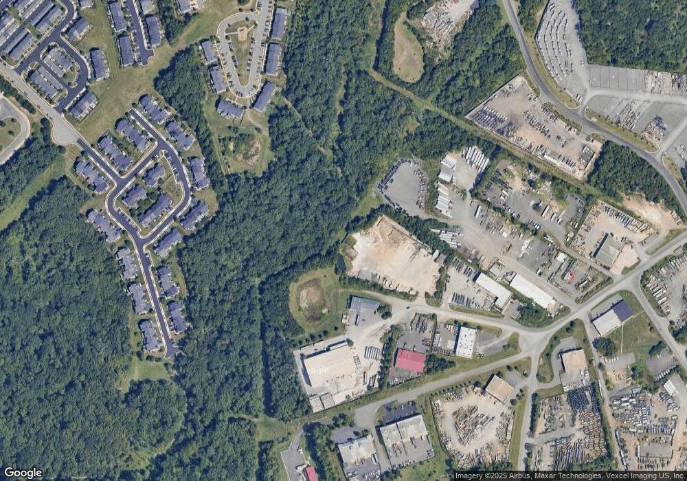
Map
Nearby Homes
- 12041 Lake Dorian Dr
- 9218 Dawkins Crest Cir
- 11957 Benton Lake Rd
- 11972 Mirror Lake Ln
- 11911 Waterton Lake Ln
- 11862 Arcari Dr
- 14058 Hawkeye Run Ct
- 9651 Bedder Stone Place
- 9686 Bedder Stone Place
- 9096 Ribbon Falls Loop
- The Sienna Plan at Woodlawn Estates
- The Jocelyn Plan at Woodlawn Estates
- The Lawrence Plan at Woodlawn Estates
- The Emma Plan at Woodlawn Estates
- 12205 Desoto Falls Ct
- 11821 Medway Church Loop
- 11817 Medway Church Loop
- 9090 Brewer Creek Place
- 9228 Falling Water Dr
- 11479 Robertson Dr
- 9320 Developers Dr
- 11318 Industrial Rd
- 9220 Developers Dr
- 9421 Developers Dr
- 9420 Developers Dr
- 12016 Lake Dorian Dr
- 12014 Lake Dorian Dr
- 12012 Lake Dorian Dr
- 12020 Lake Dorian Dr
- 12010 Lake Dorian Dr
- 9287 Dawkins Crest Cir
- 12022 Lake Dorian Dr
- 9285 Dawkins Crest Cir
- 9283 Dawkins Crest Cir
- 12024 Lake Dorian Dr
- 12006 Lake Dorian Dr
- 9291 Dawkins Crest Cir
- 9281 Dawkins Crest Cir
- 9279 Dawkins Crest Cir
- 12026 Lake Dorian Dr