9233 Porter Rd Ryland Hght, KY 41015
Estimated Value: $258,000 - $415,610
4
Beds
3
Baths
2,057
Sq Ft
$171/Sq Ft
Est. Value
About This Home
This home is located at 9233 Porter Rd, Ryland Hght, KY 41015 and is currently estimated at $351,153, approximately $170 per square foot. 9233 Porter Rd is a home located in Kenton County with nearby schools including Ryland Heights Elementary School, Woodland Middle School, and Scott High School.
Create a Home Valuation Report for This Property
The Home Valuation Report is an in-depth analysis detailing your home's value as well as a comparison with similar homes in the area
Home Values in the Area
Average Home Value in this Area
Tax History Compared to Growth
Tax History
| Year | Tax Paid | Tax Assessment Tax Assessment Total Assessment is a certain percentage of the fair market value that is determined by local assessors to be the total taxable value of land and additions on the property. | Land | Improvement |
|---|---|---|---|---|
| 2024 | $2,441 | $245,600 | $25,600 | $220,000 |
| 2023 | $2,522 | $245,600 | $25,600 | $220,000 |
| 2022 | $2,672 | $245,600 | $25,600 | $220,000 |
| 2021 | $2,389 | $220,000 | $17,000 | $203,000 |
| 2020 | $2,937 | $220,000 | $12,800 | $207,200 |
| 2019 | $2,945 | $220,000 | $12,800 | $207,200 |
| 2018 | $2,961 | $220,000 | $12,800 | $207,200 |
| 2017 | $2,891 | $220,000 | $12,800 | $207,200 |
| 2015 | $2,806 | $220,000 | $15,000 | $205,000 |
| 2014 | $2,751 | $220,000 | $15,000 | $205,000 |
Source: Public Records
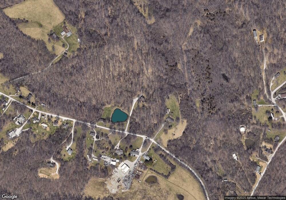
Map
Nearby Homes
- 3155 Drew Ln
- 203-B Decoursey Pike
- 5867 Southpointe Ln
- 9670 Decoursey Pike
- 5484 Taylor Mill Rd
- 714 Saint Matthews Cir
- 5809 Taylor Mill Rd
- 451 Spencely Ct
- 489 Elm Rd
- 721 Vincent Dr
- 0 Licking Pike Unit 637023
- 720 Lone Oak Dr
- 731 Lone Oak Dr
- 750 Ezra Dr
- 725 Ezra Dr
- 718 Ezra Dr
- 3289 Wayman Branch Rd
- 1477 Hands Pike
- 676 Manor Dr
- 3257 Ivy Ridge Dr