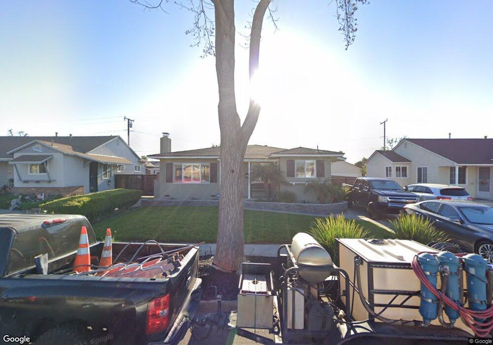
9236 Firebird Ave Whittier, CA 90605
South Whittier NeighborhoodEstimated Value: $740,000 - $766,000
3
Beds
1
Bath
1,096
Sq Ft
$686/Sq Ft
Est. Value
About This Home
This home is located at 9236 Firebird Ave, Whittier, CA 90605 and is currently estimated at $751,460, approximately $685 per square foot. 9236 Firebird Ave is a home located in Los Angeles County with nearby schools including Laurel Elementary School, Hillview Middle School, and Whittier High School.
Ownership History
Date
Name
Owned For
Owner Type
Purchase Details
Closed on
Apr 27, 2009
Sold by
Hook James A
Bought by
Nunez Manuel R
Current Estimated Value
Home Financials for this Owner
Home Financials are based on the most recent Mortgage that was taken out on this home.
Original Mortgage
$284,747
Outstanding Balance
$179,425
Interest Rate
4.8%
Mortgage Type
FHA
Estimated Equity
$572,035
Purchase Details
Closed on
Oct 2, 1998
Sold by
Hook James A
Bought by
Hook James A and Hook Magdalena S
Home Financials for this Owner
Home Financials are based on the most recent Mortgage that was taken out on this home.
Original Mortgage
$67,100
Interest Rate
6.88%
Create a Home Valuation Report for This Property
The Home Valuation Report is an in-depth analysis detailing your home's value as well as a comparison with similar homes in the area
Home Values in the Area
Average Home Value in this Area
Purchase History
| Date | Buyer | Sale Price | Title Company |
|---|---|---|---|
| Nunez Manuel R | $290,000 | Investors Title Company | |
| Hook James A | -- | American Title Co |
Source: Public Records
Mortgage History
| Date | Status | Borrower | Loan Amount |
|---|---|---|---|
| Open | Nunez Manuel R | $284,747 | |
| Previous Owner | Hook James A | $67,100 |
Source: Public Records
Tax History Compared to Growth
Tax History
| Year | Tax Paid | Tax Assessment Tax Assessment Total Assessment is a certain percentage of the fair market value that is determined by local assessors to be the total taxable value of land and additions on the property. | Land | Improvement |
|---|---|---|---|---|
| 2025 | $4,573 | $373,433 | $234,363 | $139,070 |
| 2024 | $4,573 | $366,112 | $229,768 | $136,344 |
| 2023 | $4,495 | $358,934 | $225,263 | $133,671 |
| 2022 | $4,397 | $351,897 | $220,847 | $131,050 |
| 2021 | $4,310 | $344,998 | $216,517 | $128,481 |
| 2019 | $4,222 | $334,767 | $210,096 | $124,671 |
| 2018 | $4,068 | $328,204 | $205,977 | $122,227 |
| 2016 | $3,850 | $315,462 | $197,980 | $117,482 |
| 2015 | $3,824 | $310,725 | $195,007 | $115,718 |
| 2014 | $3,773 | $304,640 | $191,188 | $113,452 |
Source: Public Records
Map
Nearby Homes
- 13535 Dunton Dr
- 13762 Danbrook Dr
- 9551 Barkerville Ave
- 13856 Mulberry Dr
- 8723 Laurel Ave
- 9534 Painter Ave
- 13426 Anola St
- 9009 Bluford Ave
- 8603 Laurel Ave
- 14033 Oval Dr
- 14042 Hawes St
- 8807 Jacmar Ave
- 13328 Citicourt Ln
- 13649 Reis St
- 9127 Greenleaf Ave
- 13414 Reis St
- 10123 Lanett Ave
- 14064 Carnell St
- 14013 Chestnut St
- 8919 Boyar Ave
- 9232 Firebird Ave
- 9242 Firebird Ave
- 9248 Firebird Ave
- 9226 Firebird Ave
- 9245 Tarryton Ave
- 9241 Tarryton Ave
- 9251 Tarryton Ave
- 9222 Firebird Ave
- 9302 Firebird Ave
- 9257 Tarryton Ave
- 9237 Firebird Ave
- 9233 Firebird Ave
- 9243 Firebird Ave
- 9303 Tarryton Ave
- 9231 Tarryton Ave
- 9229 Firebird Ave
- 9249 Firebird Ave
- 9216 Firebird Ave
- 9306 Firebird Ave
- 9303 Firebird Ave