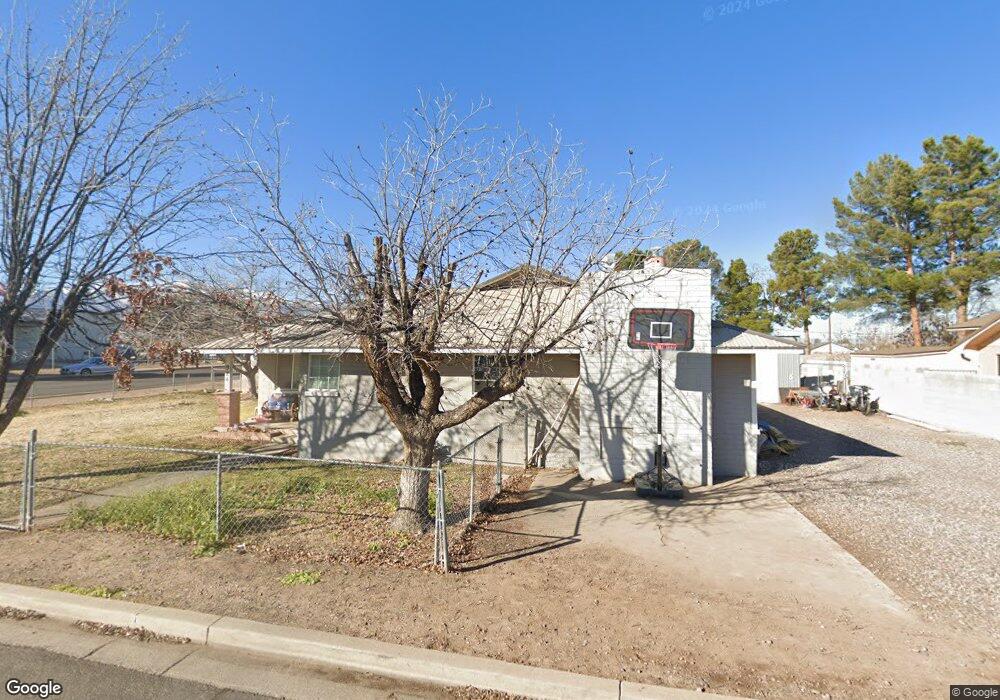
924 S 13th Ave Safford, AZ 85546
Estimated Value: $248,000 - $281,000
--
Bed
--
Bath
1,501
Sq Ft
$175/Sq Ft
Est. Value
About This Home
This home is located at 924 S 13th Ave, Safford, AZ 85546 and is currently estimated at $262,061, approximately $174 per square foot. 924 S 13th Ave is a home located in Graham County with nearby schools including Ruth Powell Elementary School, Dorothy Stinson School, and Lafe Nelson School.
Ownership History
Date
Name
Owned For
Owner Type
Purchase Details
Closed on
Apr 16, 2025
Sold by
Barney Alonzo S and Barney Donna G
Bought by
Barney Revocable Living Trust and Barney
Current Estimated Value
Purchase Details
Closed on
Jul 25, 2006
Sold by
Roach John L and Roach Alice H
Bought by
Barney Alonzo S and Barney Donna G
Home Financials for this Owner
Home Financials are based on the most recent Mortgage that was taken out on this home.
Original Mortgage
$108,000
Interest Rate
7.99%
Mortgage Type
New Conventional
Purchase Details
Closed on
Sep 15, 2005
Sold by
Cendant Mobility Relocation Company
Bought by
Roach John L and Roach Alice H
Purchase Details
Closed on
Aug 9, 2005
Sold by
Carr Patrick T and Carr Casey K
Bought by
Cendant Mobility Relocation Company
Create a Home Valuation Report for This Property
The Home Valuation Report is an in-depth analysis detailing your home's value as well as a comparison with similar homes in the area
Home Values in the Area
Average Home Value in this Area
Purchase History
| Date | Buyer | Sale Price | Title Company |
|---|---|---|---|
| Barney Revocable Living Trust | -- | None Listed On Document | |
| Barney Alonzo S | $135,000 | Safford Title Agency | |
| Roach John L | $93,000 | Safford Title Agency | |
| Cendant Mobility Relocation Company | $95,000 | Safford Title Agency |
Source: Public Records
Mortgage History
| Date | Status | Borrower | Loan Amount |
|---|---|---|---|
| Previous Owner | Barney Alonzo S | $108,000 |
Source: Public Records
Tax History Compared to Growth
Tax History
| Year | Tax Paid | Tax Assessment Tax Assessment Total Assessment is a certain percentage of the fair market value that is determined by local assessors to be the total taxable value of land and additions on the property. | Land | Improvement |
|---|---|---|---|---|
| 2026 | $856 | -- | -- | -- |
| 2025 | $856 | $17,105 | $1,689 | $15,416 |
| 2024 | $890 | $16,054 | $1,689 | $14,365 |
| 2023 | $890 | $13,548 | $1,557 | $11,991 |
| 2022 | $873 | $11,795 | $1,557 | $10,238 |
| 2021 | $964 | $0 | $0 | $0 |
| 2020 | $927 | $0 | $0 | $0 |
| 2019 | $976 | $0 | $0 | $0 |
| 2018 | $928 | $0 | $0 | $0 |
| 2017 | $769 | $0 | $0 | $0 |
| 2016 | $706 | $0 | $0 | $0 |
| 2015 | $645 | $0 | $0 | $0 |
Source: Public Records
Map
Nearby Homes
- 1471 W Stone Willow Way
- 1565 W Cobblestone Dr
- 1108 S 9th Place
- 1108 S 9th Ave
- 1491 W Thatcher Blvd Unit 107
- 1115 W Relation St
- 1309 S Bingham Place
- 1302 S 7th Ave
- 1217 S 7th Ave
- 1209 S 6th Ave
- 1609 S 12th Ave
- 1785 Camilla Cir
- 514 W 15th St
- 832 W Stirrup Dr
- 216 S 6th Ave
- 0 S 20th Ave Unit no 22325261
- 120 Relation St Unit 2
- 220 W 16th St
- 1204 S 1st Ave
- 1105 S 1st Ave
- 914 S 13th Ave
- 1320 W 10th St
- 1212 W 10th St
- 910 S 13th Ave
- 913 S 13th Ave
- 1322 W 10th St
- 909 S 13th Ave
- 904 S 13th Ave
- 946 S 12th Ave
- 1315 W Crimson Canyon Dr
- 1311 W Crimson Canyon Dr
- 1325 W Crimson Canyon Dr
- 1345 W Crimson Canyon Dr
- 1305 W Crimson Canyon Dr
- 945 S 12th Ave
- 1295 W Crimson Canyon Dr
- 1036 W 10th St
- 1285 W Crimson Canyon Dr
- 1299 W Crimson Canyon Dr
- 1320 W Crimson Canyon Dr