924 Timberline Rd Lewistown, MT 59457
Estimated Value: $552,000 - $649,098
2
Beds
1
Bath
2,146
Sq Ft
$280/Sq Ft
Est. Value
About This Home
This home is located at 924 Timberline Rd, Lewistown, MT 59457 and is currently estimated at $600,549, approximately $279 per square foot. 924 Timberline Rd is a home located in Fergus County with nearby schools including Fergus High School.
Ownership History
Date
Name
Owned For
Owner Type
Purchase Details
Closed on
Mar 30, 2021
Sold by
Conroy Keith M
Bought by
Ewing Morgunn S
Current Estimated Value
Purchase Details
Closed on
Nov 19, 2020
Sold by
Jameson Michael W and Conroy Sherra L
Bought by
Conroy Keith M and Oaas Torger S
Purchase Details
Closed on
Jun 13, 2016
Sold by
Conroy Keith M
Bought by
Conroy Keith M
Home Financials for this Owner
Home Financials are based on the most recent Mortgage that was taken out on this home.
Original Mortgage
$226,000
Interest Rate
3.66%
Mortgage Type
New Conventional
Create a Home Valuation Report for This Property
The Home Valuation Report is an in-depth analysis detailing your home's value as well as a comparison with similar homes in the area
Home Values in the Area
Average Home Value in this Area
Purchase History
| Date | Buyer | Sale Price | Title Company |
|---|---|---|---|
| Ewing Morgunn S | -- | First American Title | |
| Conroy Keith M | -- | None Listed On Document | |
| Conroy Keith M | -- | Realty Title Inc |
Source: Public Records
Mortgage History
| Date | Status | Borrower | Loan Amount |
|---|---|---|---|
| Previous Owner | Conroy Keith M | $226,000 | |
| Closed | Conroy Keith M | $232,751 |
Source: Public Records
Tax History Compared to Growth
Tax History
| Year | Tax Paid | Tax Assessment Tax Assessment Total Assessment is a certain percentage of the fair market value that is determined by local assessors to be the total taxable value of land and additions on the property. | Land | Improvement |
|---|---|---|---|---|
| 2025 | $1,681 | $300,591 | $0 | $0 |
| 2024 | $2,182 | $246,944 | $0 | $0 |
| 2023 | $2,262 | $246,944 | $0 | $0 |
| 2022 | $2,082 | $190,631 | $0 | $0 |
| 2021 | $1,439 | $150,521 | $0 | $0 |
| 2020 | $1,269 | $125,148 | $0 | $0 |
| 2019 | $1,261 | $125,148 | $0 | $0 |
| 2018 | $1,108 | $107,157 | $0 | $0 |
| 2017 | $1,041 | $107,157 | $0 | $0 |
| 2016 | $1,073 | $107,496 | $0 | $0 |
| 2015 | $1,009 | $107,496 | $0 | $0 |
| 2014 | $907 | $53,433 | $0 | $0 |
Source: Public Records
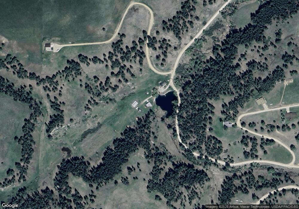
Map
Nearby Homes
- 1613 Timberline Rd
- 83 Willow Ln
- 35 Pheasant Dr
- 156 SW Roundhouse Loop
- 81 SW Roundhouse Loop
- 57 SW Roundhouse Loop
- Lot 4 White Tail Dr
- Lot 2 White Tail Dr
- Lot 1 White Tail Dr
- Lot 3 White Tail Dr
- 491 Roundhouse Rd
- 170 Burly Beach Rd
- 0 Castle Butte Rd
- 297 Paper Trail
- 217 Park Ave
- 211 Cedar St
- TBD Lot 2 Casino Creek Dr
- TBD Lot 1 Casino Creek Dr
- 112 Uranium Dr
- 1203 3rd Ave S
- 131 Elk Camp Ln
- 185 Elk Camp Ln
- 246 Cougar Ridge
- 226 Elk Camp Ln
- 655 Timberline Rd
- 317 Elk Camp Ln
- 1511 Timberline Rd
- 73 Pine Ridge Ln
- 73 Pine Ridge Rd
- 135 Pine Ridge Ln
- 139 Pine Ridge Rd
- 374 Timberline Rd
- 223 Pine Ridge Rd
- 53 Pine Ridge Rd
- 387 Pheasant Dr
- 310 Timberline Rd
- 365 Timberline Rd
- 276 Timberline Rd
- 301 Pine Ridge Rd
- 62 Wise Ln