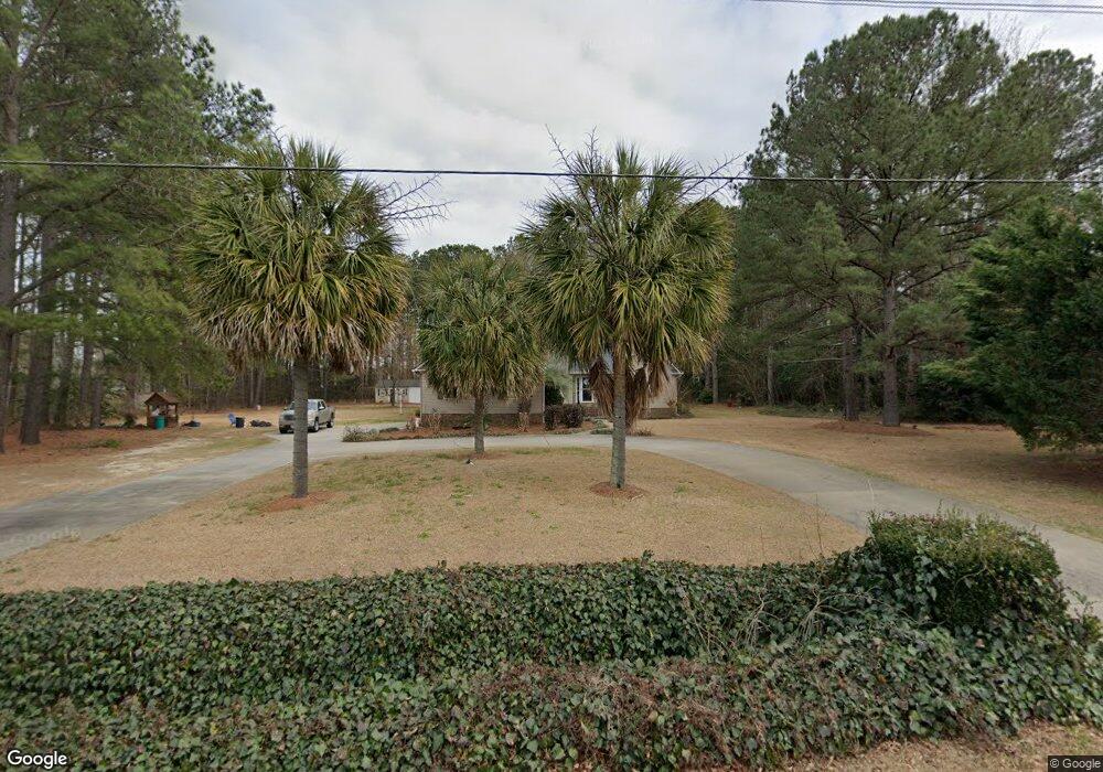
924 Whitehall Shores Rd Florence, SC 29501
Estimated Value: $269,000 - $305,182
3
Beds
3
Baths
1,564
Sq Ft
$183/Sq Ft
Est. Value
About This Home
This home is located at 924 Whitehall Shores Rd, Florence, SC 29501 and is currently estimated at $286,046, approximately $182 per square foot. 924 Whitehall Shores Rd is a home located in Florence County with nearby schools including Carver Elementary School, Henry L. Sneed Middle School, and John W. Moore Middle School.
Ownership History
Date
Name
Owned For
Owner Type
Purchase Details
Closed on
Feb 15, 2007
Sold by
Reed Ernest J
Bought by
Lifrage William R and Lifrage Wanda W
Current Estimated Value
Home Financials for this Owner
Home Financials are based on the most recent Mortgage that was taken out on this home.
Original Mortgage
$150,000
Outstanding Balance
$89,443
Interest Rate
6.08%
Mortgage Type
Construction
Estimated Equity
$196,603
Purchase Details
Closed on
Aug 23, 2005
Sold by
Miles Donnie
Bought by
Fagan James Edward and Strickland Casey Ray
Create a Home Valuation Report for This Property
The Home Valuation Report is an in-depth analysis detailing your home's value as well as a comparison with similar homes in the area
Home Values in the Area
Average Home Value in this Area
Purchase History
| Date | Buyer | Sale Price | Title Company |
|---|---|---|---|
| Lifrage William R | $189,900 | None Available | |
| Fagan James Edward | -- | -- |
Source: Public Records
Mortgage History
| Date | Status | Borrower | Loan Amount |
|---|---|---|---|
| Open | Lifrage William R | $150,000 |
Source: Public Records
Tax History Compared to Growth
Tax History
| Year | Tax Paid | Tax Assessment Tax Assessment Total Assessment is a certain percentage of the fair market value that is determined by local assessors to be the total taxable value of land and additions on the property. | Land | Improvement |
|---|---|---|---|---|
| 2024 | $890 | $9,863 | $1,584 | $8,279 |
| 2023 | $775 | $7,405 | $1,584 | $5,821 |
| 2022 | $971 | $7,405 | $1,584 | $5,821 |
| 2021 | $960 | $7,410 | $0 | $0 |
| 2020 | $898 | $7,410 | $0 | $0 |
| 2019 | $900 | $7,405 | $1,584 | $5,821 |
| 2018 | $823 | $7,520 | $0 | $0 |
| 2017 | $778 | $7,520 | $0 | $0 |
| 2016 | $692 | $7,520 | $0 | $0 |
| 2015 | $683 | $7,520 | $0 | $0 |
| 2014 | $628 | $7,518 | $1,584 | $5,934 |
Source: Public Records
Map
Nearby Homes
- 4135 W Pelican Ln
- 4023 Roxboro Ct
- 4058 W Pelican Ln
- 711 A8 Coventry Ln
- 731 Coventry Ln
- 4037 Crest Cove Dr
- 4050 Crest Cove Dr
- 3312 State Road S-21-545
- 4145 Rodanthe Cir
- 1048 S Peninsula Rd
- 3844 W Lake Dr
- 4165 Rodanthe Cir
- 4169 Rodanthe Cir
- 1031 Left Bank Dr
- 1040 Left Bank Dr
- 711 Harriett Dr
- 1092 Greenview Dr
- 644 Calumet Ct
- 1002 Left Bank Dr
- 1 Acre Greenview Dr
- 914 Whitehall Shores Rd
- 4111 Live Oak Cir
- Lot 3 Whitehall Shores Rd
- 4203 Live Oak Cir
- 924 Leyland Dr
- 916 Leyland Dr
- 920 Leyland Dr
- 4207 Live Oak Cir
- Lot 1 Whitehall Shores Rd
- 928 Leyland Dr
- 941 Cowpens Cir
- 945 Cowpens Cir
- 909 Whitehall Shores Rd
- 1020 Roda Dr
- 915 Leyland Dr
- 4211 Live Oak Cir
- 919 Leyland Dr
- 935 Cowpens Cir
- 932 Leyland Dr
- 931 Cowpens Cir