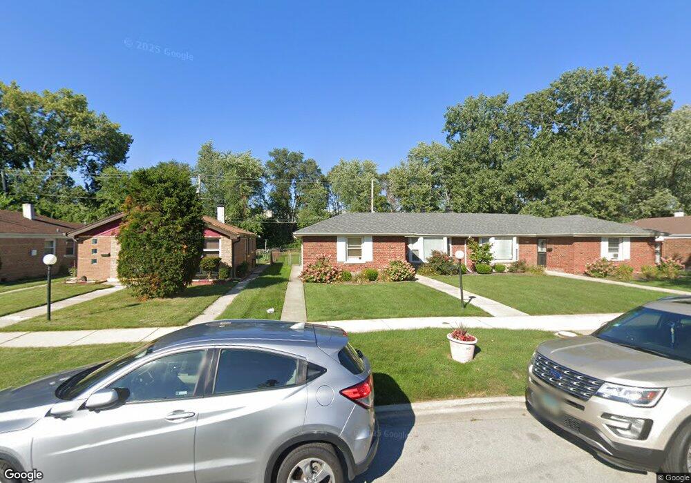
9241 S Burnside Ave Chicago, IL 60619
Roseland NeighborhoodEstimated Value: $149,861 - $221,000
3
Beds
1
Bath
1,121
Sq Ft
$168/Sq Ft
Est. Value
About This Home
This home is located at 9241 S Burnside Ave, Chicago, IL 60619 and is currently estimated at $188,215, approximately $167 per square foot. 9241 S Burnside Ave is a home located in Cook County with nearby schools including Gillespie Elementary School, Harlan Community Academy High School, and Christian S T E M Scholars.
Ownership History
Date
Name
Owned For
Owner Type
Purchase Details
Closed on
Jan 26, 2021
Sold by
Oliver Andrea E and Oliver Alexander Andrea
Bought by
Oliver Andrea E and Oliver Janet
Current Estimated Value
Purchase Details
Closed on
May 18, 2015
Sold by
Oliver Charels R
Bought by
Oliver Charles R and Miller Oliver Guinevere
Purchase Details
Closed on
Apr 29, 2015
Sold by
Oliver Rosemary and Harrod Jocelyn Glover
Bought by
Oliver Charles R and Miller Oliver Guinevere
Purchase Details
Closed on
Jun 14, 2014
Sold by
Oliver Guinevere
Bought by
Oliver Charles R and Oliver Rosemary
Create a Home Valuation Report for This Property
The Home Valuation Report is an in-depth analysis detailing your home's value as well as a comparison with similar homes in the area
Home Values in the Area
Average Home Value in this Area
Purchase History
| Date | Buyer | Sale Price | Title Company |
|---|---|---|---|
| Oliver Andrea E | -- | Accommodation | |
| Oliver Charles R | -- | None Available | |
| Oliver Charles R | -- | None Available | |
| Oliver Charles R | -- | None Available |
Source: Public Records
Tax History Compared to Growth
Tax History
| Year | Tax Paid | Tax Assessment Tax Assessment Total Assessment is a certain percentage of the fair market value that is determined by local assessors to be the total taxable value of land and additions on the property. | Land | Improvement |
|---|---|---|---|---|
| 2024 | $2,110 | $14,001 | $6,999 | $7,002 |
| 2023 | $2,057 | $10,000 | $6,345 | $3,655 |
| 2022 | $2,057 | $10,000 | $6,345 | $3,655 |
| 2021 | $2,011 | $10,000 | $6,345 | $3,655 |
| 2020 | $2,419 | $10,859 | $5,076 | $5,783 |
| 2019 | $2,398 | $11,933 | $5,076 | $6,857 |
| 2018 | $2,357 | $11,933 | $5,076 | $6,857 |
| 2017 | $2,843 | $13,207 | $4,441 | $8,766 |
| 2016 | $2,143 | $13,207 | $4,441 | $8,766 |
| 2015 | $1,960 | $13,207 | $4,441 | $8,766 |
| 2014 | $1,842 | $12,258 | $3,807 | $8,451 |
| 2013 | -- | $12,258 | $3,807 | $8,451 |
Source: Public Records
Map
Nearby Homes
- 9300 S Vernon Ave
- 9220 S King Dr
- 9302 S Eberhart Ave
- 9326 S King Dr
- 543 E 91st Place
- 521 E 91st St
- 605 E 92nd Place
- 254 E 92nd St Unit 1
- 9150 S Burnside Ave
- 549 E 91st St
- 627 E 92nd Place
- 237 E 92nd St
- 9425 S Vernon Ave
- 9400 S Calumet Ave
- 9311 S Burnside Ave
- 9422 S Calumet Ave
- 9418 S Champlain Ave
- 9413 S Prairie Ave
- 9456 S Calumet Ave
- 8952 S King Dr
- 9237 S Burnside Ave
- 9245 S Burnside Ave
- 9233 S Burnside Ave
- 9249 S Burnside Ave
- 9253 S Burnside Ave
- 9225 S Burnside Ave
- 9257 S Burnside Ave
- 9257 South Park
- 9242 S Burnside Ave
- 9238 S Burnside Ave
- 9234 S Burnside Ave
- 9244 S Burnside Ave
- 9248 S Burnside Ave
- 9261 S Burnside Ave
- 9252 S Burnside Ave
- 9221 S Burnside Ave
- 9254 S Burnside Ave
- 9225 S King Dr
- 9259 S Burnside Ave
- 9265 S Burnside Ave