9243 Us Highway 169 Garrison, MN 56450
Estimated Value: $3,223,995
--
Bed
--
Bath
20,606
Sq Ft
$156/Sq Ft
Est. Value
About This Home
This home is located at 9243 Us Highway 169, Garrison, MN 56450 and is currently priced at $3,223,995, approximately $156 per square foot. 9243 Us Highway 169 is a home located in Crow Wing County with nearby schools including Garfield Elementary School, Forestview Middle School, and Brainerd Senior High School.
Ownership History
Date
Name
Owned For
Owner Type
Purchase Details
Closed on
Jan 30, 2024
Sold by
Ahl Holdings Llc
Bought by
Woodlands National Bank
Current Estimated Value
Purchase Details
Closed on
Oct 31, 2014
Purchase Details
Closed on
Oct 1, 2014
Bought by
Ahl Holdings Llc
Purchase Details
Closed on
Jan 1, 2012
Bought by
Ahl Holdings, Llc
Purchase Details
Closed on
May 1, 2008
Sold by
Garrison Lodging
Bought by
Garrison Hotel Holdings Llc
Create a Home Valuation Report for This Property
The Home Valuation Report is an in-depth analysis detailing your home's value as well as a comparison with similar homes in the area
Home Values in the Area
Average Home Value in this Area
Purchase History
| Date | Buyer | Sale Price | Title Company |
|---|---|---|---|
| Woodlands National Bank | $500 | None Listed On Document | |
| -- | $1,125,000 | -- | |
| Ahl Holdings Llc | $1,125,000 | -- | |
| Ahl Holdings, Llc | $1,125,000 | -- | |
| Garrison Hotel Holdings Llc | $1,205,000 | -- |
Source: Public Records
Tax History Compared to Growth
Tax History
| Year | Tax Paid | Tax Assessment Tax Assessment Total Assessment is a certain percentage of the fair market value that is determined by local assessors to be the total taxable value of land and additions on the property. | Land | Improvement |
|---|---|---|---|---|
| 2025 | $29,468 | $830,700 | $213,100 | $617,600 |
| 2024 | $27,950 | $982,600 | $192,800 | $789,800 |
| 2023 | $40,942 | $970,800 | $188,800 | $782,000 |
| 2022 | $46,222 | $870,700 | $176,400 | $694,300 |
| 2021 | $47,110 | $867,100 | $172,800 | $694,300 |
| 2020 | $47,514 | $869,700 | $173,400 | $696,300 |
| 2019 | $46,368 | $887,200 | $172,300 | $714,900 |
| 2018 | $45,948 | $860,100 | $172,200 | $687,900 |
| 2017 | $47,848 | $871,200 | $165,900 | $705,300 |
| 2016 | $48,182 | $883,600 | $160,900 | $722,700 |
| 2015 | $54,154 | $1,022,400 | $70,800 | $951,600 |
| 2014 | $19,466 | $1,032,000 | $70,800 | $961,200 |
Source: Public Records
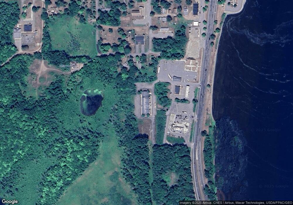
Map
Nearby Homes
- 9699 US Highway 169
- TBD Lilac Dr
- 9849 Maple Ridge Rd
- 10490 Us Highway 169 Unit 106
- 10490 Us Highway 169 Unit 305
- 10490 Us Highway 169 Unit 103
- 7919 US Highway 169
- 7625 U S 169
- 7515 Us Highway 169
- 20758 Pike Ave
- 7331 U S 169
- 7241 Highway 169
- 26259 County Road 26
- 25637 Circle Dr
- 7165 Us Highway 169
- 25663 Circle Dr
- 11075 Deer Run Rd
- 10910 County Road 10
- 26152 Glen Dr
- 8991 Red Oak Dr
- 9243 Us Highway 169
- 27267 Hayes St
- 9321 Tower Rd
- 93XX Tower Rd
- 27255 Hayes St
- 9341 U S 169
- 27280 Hayes St
- 27270 Hayes St
- 27270 27270 Hayes St
- 27270 27270 Hayes-Street-
- 27252 Hayes St
- 27252 27252 Hayes-Street-
- 9418 Adams St
- 9464 Jefferson St
- 27319 Central St
- 27325 Central St
- 27335 Central St
- 27209 Central St
- 27349 Central St
- 9451 Adams St