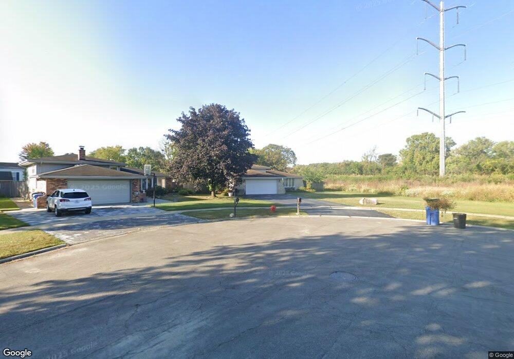
9247 Jocare Dr Justice, IL 60458
Estimated Value: $330,000 - $380,000
3
Beds
2
Baths
1,269
Sq Ft
$279/Sq Ft
Est. Value
About This Home
This home is located at 9247 Jocare Dr, Justice, IL 60458 and is currently estimated at $354,247, approximately $279 per square foot. 9247 Jocare Dr is a home located in Cook County with nearby schools including Frank A Brodnicki Elementary School, Argo Community High School, and St. Patricia School.
Ownership History
Date
Name
Owned For
Owner Type
Purchase Details
Closed on
Jun 29, 2004
Sold by
Wasik Paul A and Wasik Angela L
Bought by
Zavala Juanita
Current Estimated Value
Home Financials for this Owner
Home Financials are based on the most recent Mortgage that was taken out on this home.
Original Mortgage
$216,000
Interest Rate
6.4%
Mortgage Type
Unknown
Create a Home Valuation Report for This Property
The Home Valuation Report is an in-depth analysis detailing your home's value as well as a comparison with similar homes in the area
Home Values in the Area
Average Home Value in this Area
Purchase History
| Date | Buyer | Sale Price | Title Company |
|---|---|---|---|
| Zavala Juanita | $270,000 | Atgf Inc |
Source: Public Records
Mortgage History
| Date | Status | Borrower | Loan Amount |
|---|---|---|---|
| Previous Owner | Zavala Juanita | $216,000 |
Source: Public Records
Tax History Compared to Growth
Tax History
| Year | Tax Paid | Tax Assessment Tax Assessment Total Assessment is a certain percentage of the fair market value that is determined by local assessors to be the total taxable value of land and additions on the property. | Land | Improvement |
|---|---|---|---|---|
| 2024 | $7,744 | $29,369 | $6,577 | $22,792 |
| 2023 | $5,567 | $31,000 | $6,577 | $24,423 |
| 2022 | $5,567 | $21,642 | $5,072 | $16,570 |
| 2021 | $5,351 | $21,637 | $5,067 | $16,570 |
| 2020 | $5,304 | $21,642 | $5,719 | $15,923 |
| 2019 | $4,384 | $18,278 | $5,147 | $13,131 |
| 2018 | $6,613 | $19,107 | $5,147 | $13,960 |
| 2017 | $5,019 | $20,705 | $5,147 | $15,558 |
| 2016 | $3,918 | $14,219 | $4,575 | $9,644 |
| 2015 | $4,444 | $16,212 | $4,575 | $11,637 |
| 2014 | $5,455 | $19,589 | $4,575 | $15,014 |
| 2013 | $6,409 | $24,371 | $4,575 | $19,796 |
Source: Public Records
Map
Nearby Homes
- 788 Maple Ln
- 870 Victory Ln
- 7620 Garden Ln
- 7716 Cronin Ave
- 7700 Garden Ln
- 7549 Banks St
- 7706 Garden Ln
- 7817 Garden Ln
- 710 Briarwood Dr Unit 710
- 7526 Cork Ave
- 7666 S 88th Ct Unit 22P22
- 7850 Garden Ln
- 7423 Covington Place
- 8643 W 73rd Place
- 7451 S 86th Ave
- 7137 S 87th Ave
- 8751 W 79th St Unit 1
- 7304 Maple Dr Unit 627304
- 7420 Maple Dr Unit 547420
- 8108 Concord Ln Unit K
- 9243 Jocare Dr
- 9239 Jocare Dr
- 9244 Jocare Dr
- 9235 Jocare Dr
- 9240 Jocare Dr
- 827 Victory Ln
- 830 Victory Ln
- 9231 Jocare Dr
- 7500 Garden Ln
- 9236 Jocare Dr
- 831 Victory Ln
- 9227 Jocare Dr
- 7504 Garden Ln
- 7504 Garden Ln
- 7502 Garden Ln Unit 1
- 7502 Garden Ln
- 9232 Jocare Dr
- 833 Victory Ln
- 9228 Jocare Dr
- 838 Victory Ln