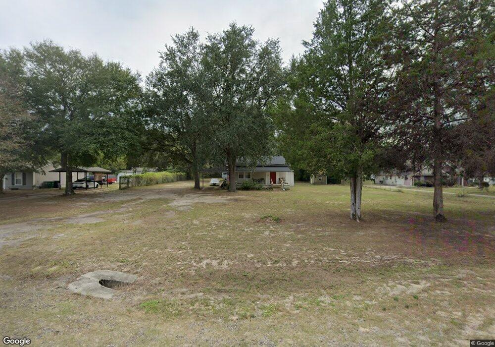
9249 Blountstown Hwy Tallahassee, FL 32310
Estimated Value: $186,617 - $280,000
3
Beds
2
Baths
1,244
Sq Ft
$179/Sq Ft
Est. Value
About This Home
This home is located at 9249 Blountstown Hwy, Tallahassee, FL 32310 and is currently estimated at $222,154, approximately $178 per square foot. 9249 Blountstown Hwy is a home located in Leon County with nearby schools including Fort Braden School and Amos P. Godby High School.
Ownership History
Date
Name
Owned For
Owner Type
Purchase Details
Closed on
May 25, 2010
Sold by
Bryant Andrew Davis
Bought by
Perry Adam L E and Perry Heather M
Current Estimated Value
Home Financials for this Owner
Home Financials are based on the most recent Mortgage that was taken out on this home.
Original Mortgage
$135,000
Outstanding Balance
$90,263
Interest Rate
5%
Mortgage Type
Seller Take Back
Estimated Equity
$131,891
Purchase Details
Closed on
Feb 15, 2007
Sold by
Bryant Andrew Davis and Bryant Laura Elizabeth
Bought by
Bryant Andrew Davis
Create a Home Valuation Report for This Property
The Home Valuation Report is an in-depth analysis detailing your home's value as well as a comparison with similar homes in the area
Home Values in the Area
Average Home Value in this Area
Purchase History
| Date | Buyer | Sale Price | Title Company |
|---|---|---|---|
| Perry Adam L E | $135,000 | Attorney | |
| Bryant Andrew Davis | -- | Attorney |
Source: Public Records
Mortgage History
| Date | Status | Borrower | Loan Amount |
|---|---|---|---|
| Open | Perry Adam L E | $135,000 |
Source: Public Records
Tax History Compared to Growth
Tax History
| Year | Tax Paid | Tax Assessment Tax Assessment Total Assessment is a certain percentage of the fair market value that is determined by local assessors to be the total taxable value of land and additions on the property. | Land | Improvement |
|---|---|---|---|---|
| 2024 | $1,025 | $101,686 | -- | -- |
| 2023 | $988 | $98,724 | $0 | $0 |
| 2022 | $935 | $95,849 | $0 | $0 |
| 2021 | $922 | $93,057 | $0 | $0 |
| 2020 | $893 | $91,772 | $0 | $0 |
| 2019 | $875 | $89,709 | $0 | $0 |
| 2018 | $861 | $88,036 | $0 | $0 |
| 2017 | $848 | $86,225 | $0 | $0 |
| 2016 | $837 | $84,452 | $0 | $0 |
| 2015 | $849 | $83,865 | $0 | $0 |
| 2014 | $849 | $83,199 | $0 | $0 |
Source: Public Records
Map
Nearby Homes
- 1016 Nature Trail Way
- 200 Francis Maples Dr
- 8401 Blountstown Hwy
- 8084 Baby Farm Rd N
- 8032 Baby Farm Dr N
- 1319 Late Sunset Way
- 1315 Late Sunset Way
- 2159 Silver Lake Rd
- xxx Parramore Shores Rd
- 541 Doctor Carolyn Ryals Way Unit 3
- 7674 Christy Cary Ln
- 195 Coe Landing Rd
- 12840 Coes Bluff
- 629 Saint Patrick Dr
- 6339 Aaronbrooke Ln
- 6206 Blountstown Hwy
- 1037 Lacey Ln
- 0 Blue Star Hwy Unit 380559
- 1107 Fernwood Rd
- 362 Burks Ln
- 9225 Blountstown Hwy
- 9261 Blountstown Hwy
- 9191 Blountstown Hwy
- 9159 Blountstown Hwy
- 8496 Belk Dr E
- 9299 Blountstown Hwy
- 9129 Blountstown Hwy Unit 4
- 9129 Blountstown Hwy
- 8488 Belk Dr E
- 9113 Blountstown Hwy
- 8493 Pinacea Ln
- 9361 Blountstown Hwy
- 9405 Blountstown Hwy
- 278 Post Oak Dr
- 251 Chinkapin Ln
- 8979 Blountstown Hwy
- 252 Pond Pine St
- 8967 Blountstown Hwy
- 8973 Blountstown Hwy
- 8504 Belk Dr E