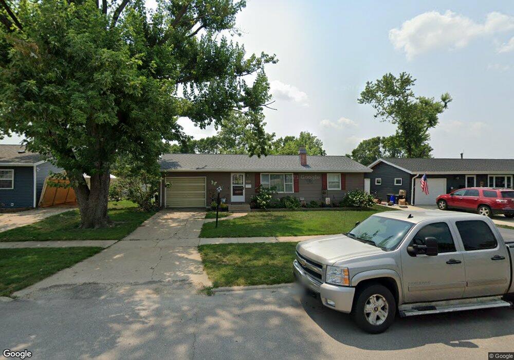
925 Alpine Rd Marion, IA 52302
Estimated Value: $183,000 - $204,000
2
Beds
2
Baths
923
Sq Ft
$211/Sq Ft
Est. Value
About This Home
This home is located at 925 Alpine Rd, Marion, IA 52302 and is currently estimated at $194,292, approximately $210 per square foot. 925 Alpine Rd is a home located in Linn County with nearby schools including Novak Elementary School, Oak Ridge School, and Linn-Mar High School.
Ownership History
Date
Name
Owned For
Owner Type
Purchase Details
Closed on
Jul 9, 2009
Sold by
Schwers David Joseph
Bought by
Crow Elissa M
Current Estimated Value
Home Financials for this Owner
Home Financials are based on the most recent Mortgage that was taken out on this home.
Original Mortgage
$15,000
Interest Rate
5.62%
Mortgage Type
Stand Alone Second
Purchase Details
Closed on
Nov 12, 1999
Sold by
Schwers Kristine Anne and Schwers Kris A
Bought by
Schwers David J
Home Financials for this Owner
Home Financials are based on the most recent Mortgage that was taken out on this home.
Original Mortgage
$45,000
Interest Rate
7.9%
Create a Home Valuation Report for This Property
The Home Valuation Report is an in-depth analysis detailing your home's value as well as a comparison with similar homes in the area
Home Values in the Area
Average Home Value in this Area
Purchase History
| Date | Buyer | Sale Price | Title Company |
|---|---|---|---|
| Crow Elissa M | $99,500 | None Available | |
| Schwers David J | -- | -- |
Source: Public Records
Mortgage History
| Date | Status | Borrower | Loan Amount |
|---|---|---|---|
| Closed | Crow Elissa M | $15,000 | |
| Open | Crow Elissa M | $85,000 | |
| Previous Owner | Schwers David J | $45,000 |
Source: Public Records
Tax History Compared to Growth
Tax History
| Year | Tax Paid | Tax Assessment Tax Assessment Total Assessment is a certain percentage of the fair market value that is determined by local assessors to be the total taxable value of land and additions on the property. | Land | Improvement |
|---|---|---|---|---|
| 2025 | $2,858 | $169,400 | $19,400 | $150,000 |
| 2024 | $2,924 | $162,500 | $19,400 | $143,100 |
| 2023 | $2,924 | $162,500 | $19,400 | $143,100 |
| 2022 | $2,766 | $140,600 | $19,400 | $121,200 |
| 2021 | $2,682 | $139,700 | $19,400 | $120,300 |
| 2020 | $2,682 | $127,600 | $19,400 | $108,200 |
| 2019 | $2,474 | $118,200 | $19,400 | $98,800 |
| 2018 | $2,374 | $118,200 | $19,400 | $98,800 |
| 2017 | $2,400 | $111,200 | $19,400 | $91,800 |
| 2016 | $2,400 | $111,200 | $19,400 | $91,800 |
| 2015 | $2,391 | $111,200 | $19,400 | $91,800 |
| 2014 | $2,204 | $111,200 | $19,400 | $91,800 |
| 2013 | $2,100 | $111,200 | $19,400 | $91,800 |
Source: Public Records
Map
Nearby Homes
- 915 W 10th Ave
- 1065 W 10th Ave
- 1125 W 10th Ave
- 1195 Lindale Dr
- 655 W 9th Ave
- 1145 Blairs Ferry Rd
- 117 Brentwood Dr NE
- 1032 Archer Dr
- 823 Flight Dr
- 201 Brentwood Dr NE
- 1074 Archer Dr
- 840 Longbow Ct
- 1080 Everdeen Ct
- 1089 Archer Dr
- 785 Bowstring Dr
- 806 Longbow Ct
- 221 Brentwood Dr NE
- 2010 Newcastle Rd
- 1013 Blairs Ferry R
- 179 Crandall Dr NE