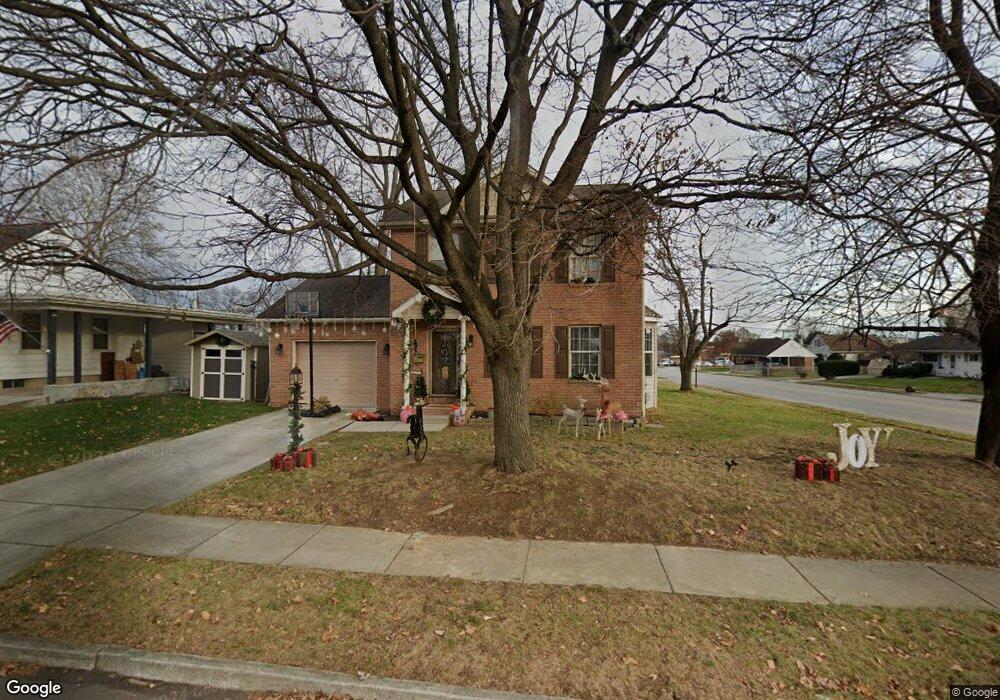
925 E Walnut St Hanover, PA 17331
Hanover Historic District NeighborhoodEstimated Value: $253,000 - $331,000
3
Beds
3
Baths
1,408
Sq Ft
$201/Sq Ft
Est. Value
About This Home
This home is located at 925 E Walnut St, Hanover, PA 17331 and is currently estimated at $283,237, approximately $201 per square foot. 925 E Walnut St is a home located in York County with nearby schools including Washington Elementary School, Hanover Middle School, and Hanover Senior High School.
Ownership History
Date
Name
Owned For
Owner Type
Purchase Details
Closed on
Sep 24, 2004
Sold by
Stone Ridge Development Corp
Bought by
Thoman Bryan W and Thoman Jayme L
Current Estimated Value
Home Financials for this Owner
Home Financials are based on the most recent Mortgage that was taken out on this home.
Original Mortgage
$147,920
Outstanding Balance
$69,450
Interest Rate
5%
Mortgage Type
Purchase Money Mortgage
Estimated Equity
$213,787
Purchase Details
Closed on
Aug 19, 2003
Sold by
Feeser Charlie M and Feeser Dolores M
Bought by
Stone Ridge Development Inc
Create a Home Valuation Report for This Property
The Home Valuation Report is an in-depth analysis detailing your home's value as well as a comparison with similar homes in the area
Home Values in the Area
Average Home Value in this Area
Purchase History
| Date | Buyer | Sale Price | Title Company |
|---|---|---|---|
| Thoman Bryan W | $184,900 | -- | |
| Stone Ridge Development Inc | $41,000 | -- |
Source: Public Records
Mortgage History
| Date | Status | Borrower | Loan Amount |
|---|---|---|---|
| Open | Thoman Bryan W | $147,920 | |
| Closed | Thoman Bryan W | $18,490 |
Source: Public Records
Tax History
| Year | Tax Paid | Tax Assessment Tax Assessment Total Assessment is a certain percentage of the fair market value that is determined by local assessors to be the total taxable value of land and additions on the property. | Land | Improvement |
|---|---|---|---|---|
| 2025 | $5,807 | $158,630 | $29,490 | $129,140 |
| 2024 | $5,763 | $158,630 | $29,490 | $129,140 |
| 2023 | $5,719 | $158,630 | $29,490 | $129,140 |
| 2022 | $5,649 | $158,630 | $29,490 | $129,140 |
| 2021 | $5,490 | $158,630 | $29,490 | $129,140 |
| 2020 | $5,490 | $158,630 | $29,490 | $129,140 |
| 2019 | $5,405 | $158,630 | $29,490 | $129,140 |
| 2018 | $5,305 | $158,630 | $29,490 | $129,140 |
| 2017 | $5,205 | $158,630 | $29,490 | $129,140 |
| 2016 | $0 | $158,630 | $29,490 | $129,140 |
| 2015 | -- | $158,630 | $29,490 | $129,140 |
| 2014 | -- | $158,630 | $29,490 | $129,140 |
Source: Public Records
Map
Nearby Homes
- 191 Moul Ave
- 525 Parkview Ln Unit 113
- 428 George St
- 405 Clearview Rd
- 62 Mckinley Ave
- 1440 Broadway
- 632 E Walnut St
- 36 Ridge Ave
- 624 E Middle St
- 614 Broadway
- 270 Mckinley Ave
- 322 Fox Knoll Ct
- 510 Broadway
- 1029 Stonecroft Dr
- 415 Broadway
- 418 Springbrook Ct Unit C4
- 400 Broadway
- 14 Charles St
- 610 Spring Ave
- 209 Fulton St