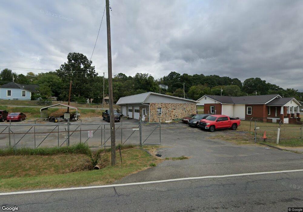
925 N Wall St Calhoun, GA 30701
Estimated Value: $147,747
--
Bed
--
Bath
1,710
Sq Ft
$86/Sq Ft
Est. Value
About This Home
This home is located at 925 N Wall St, Calhoun, GA 30701 and is currently estimated at $147,747, approximately $86 per square foot. 925 N Wall St is a home located in Gordon County with nearby schools including Calhoun Primary School, Calhoun Elementary School, and Calhoun Middle School.
Ownership History
Date
Name
Owned For
Owner Type
Purchase Details
Closed on
Mar 1, 2024
Sold by
Farrell Tony
Bought by
Worthington Eleisha
Current Estimated Value
Purchase Details
Closed on
Apr 4, 2005
Sold by
Dixon Richard
Bought by
Farrell Tony
Home Financials for this Owner
Home Financials are based on the most recent Mortgage that was taken out on this home.
Original Mortgage
$155,911
Interest Rate
5.74%
Mortgage Type
Commercial
Purchase Details
Closed on
Jul 13, 2004
Sold by
Pack Raymond
Bought by
Dixon Richard and Dixon Kenny
Purchase Details
Closed on
Feb 10, 1984
Bought by
Pack Raymond
Create a Home Valuation Report for This Property
The Home Valuation Report is an in-depth analysis detailing your home's value as well as a comparison with similar homes in the area
Home Values in the Area
Average Home Value in this Area
Purchase History
| Date | Buyer | Sale Price | Title Company |
|---|---|---|---|
| Worthington Eleisha | $140,000 | -- | |
| Farrell Tony | $163,000 | -- | |
| Dixon Richard | $90,000 | -- | |
| Pack Raymond | -- | -- |
Source: Public Records
Mortgage History
| Date | Status | Borrower | Loan Amount |
|---|---|---|---|
| Previous Owner | Farrell Tony | $155,911 |
Source: Public Records
Tax History Compared to Growth
Tax History
| Year | Tax Paid | Tax Assessment Tax Assessment Total Assessment is a certain percentage of the fair market value that is determined by local assessors to be the total taxable value of land and additions on the property. | Land | Improvement |
|---|---|---|---|---|
| 2024 | $845 | $30,068 | $20,400 | $9,668 |
| 2023 | $858 | $30,508 | $20,400 | $10,108 |
| 2022 | $294 | $30,948 | $20,400 | $10,548 |
| 2021 | $948 | $31,828 | $20,400 | $11,428 |
| 2020 | $983 | $32,748 | $20,400 | $12,348 |
| 2019 | $981 | $32,748 | $20,400 | $12,348 |
| 2018 | $362 | $43,668 | $31,920 | $11,748 |
Source: Public Records
Map
Nearby Homes
- 113 Mill Pond Ln
- 125 Mill Pond Ln
- 98 Echota 5th St
- 106 Windmill Ct
- 104 Windmill Ct
- 91 Echota 4th St
- 113 Waterside Dr
- 106 Millers Ln
- 115 Old Mill Dr
- 108 Mill Stone Dr
- 122 Millers Ln
- 145 Green Row
- 135 Millers Ln
- 137 Millers Ln
- 118 Old Mill Dr
- 154 Millers Ln
- 106 Mount Vernon Dr
- 103 Mims Dr
- 367 Mount Vernon Dr
- 0 Red Bud Rd NE Unit 123029
- 120 Echota 7th St
- 117 College St
- 121 Echota 7th St
- 119 College St
- 127 Echota 7th St
- 118 College St
- 126 Echota 7th St
- 986 N Wall St
- 116 Echota 6th St
- C157 6th St
- 122 Echota 7th St
- 122 Echota 7th St
- 125 Echota 7th St
- 990 S Wall St
- 123 Echota 7th St
- 115 Echota 6th St
- 129 Echota 8th St
- 124 Echota 7th St
- 111 College St
- 114 Echota 6th St