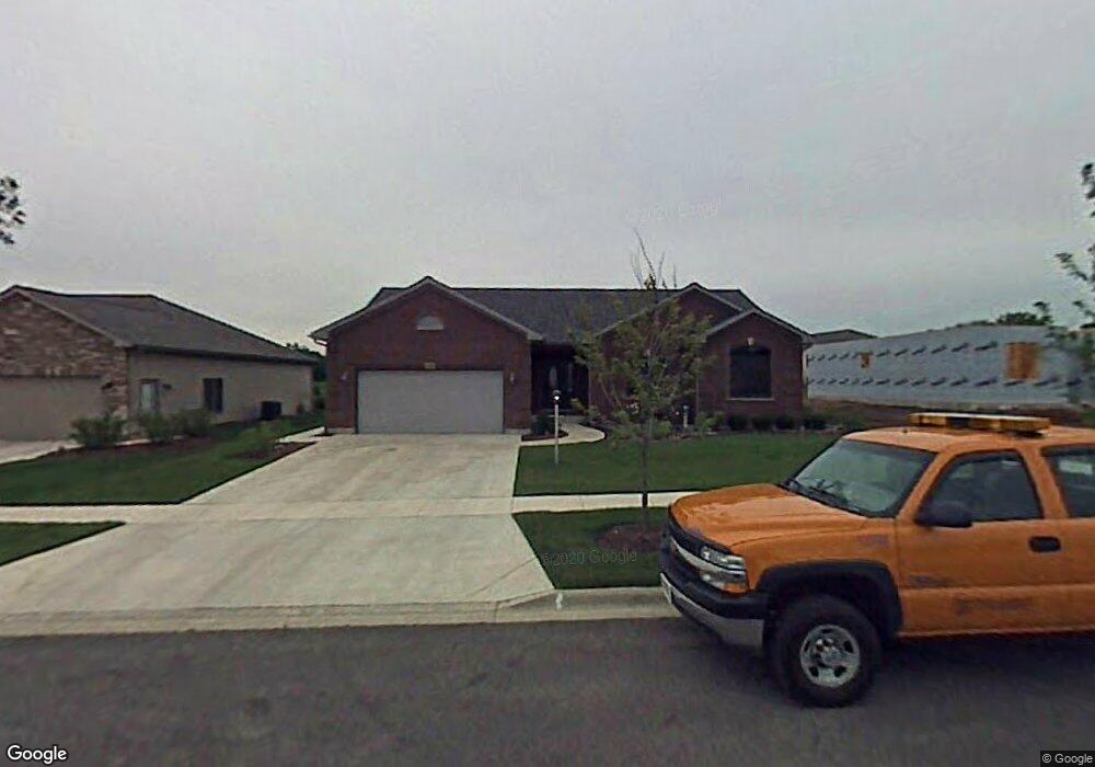
925 Randall Ct Marengo, IL 60152
Estimated Value: $328,000 - $407,000
2
Beds
--
Bath
1,830
Sq Ft
$199/Sq Ft
Est. Value
About This Home
This home is located at 925 Randall Ct, Marengo, IL 60152 and is currently estimated at $364,395, approximately $199 per square foot. 925 Randall Ct is a home located in McHenry County with nearby schools including Riley Community Consolidated School District 18, Marengo Community High School, and Zion Lutheran School.
Ownership History
Date
Name
Owned For
Owner Type
Purchase Details
Closed on
Jun 3, 2015
Sold by
Mazurkiewicz Chester L and Mazurkiewicz Josephine
Bought by
The Chester L Mazurkiewicz An Josephine
Current Estimated Value
Purchase Details
Closed on
Mar 28, 2007
Sold by
Brackmann Development Group Inc
Bought by
Mazurkiewicz Chester and Mazurkiewicz Josephine
Home Financials for this Owner
Home Financials are based on the most recent Mortgage that was taken out on this home.
Original Mortgage
$228,750
Outstanding Balance
$139,067
Interest Rate
6.25%
Mortgage Type
Unknown
Estimated Equity
$225,328
Create a Home Valuation Report for This Property
The Home Valuation Report is an in-depth analysis detailing your home's value as well as a comparison with similar homes in the area
Home Values in the Area
Average Home Value in this Area
Purchase History
| Date | Buyer | Sale Price | Title Company |
|---|---|---|---|
| The Chester L Mazurkiewicz An Josephine | -- | Attorney | |
| Mazurkiewicz Chester | $285,983 | Chicago Title Insurance Co |
Source: Public Records
Mortgage History
| Date | Status | Borrower | Loan Amount |
|---|---|---|---|
| Open | Mazurkiewicz Chester | $228,750 |
Source: Public Records
Tax History
| Year | Tax Paid | Tax Assessment Tax Assessment Total Assessment is a certain percentage of the fair market value that is determined by local assessors to be the total taxable value of land and additions on the property. | Land | Improvement |
|---|---|---|---|---|
| 2024 | -- | $113,000 | $12,653 | $100,347 |
| 2023 | $6,746 | $100,695 | $11,275 | $89,420 |
| 2022 | $6,746 | $90,996 | $9,004 | $81,992 |
| 2021 | $6,746 | $84,310 | $8,342 | $75,968 |
| 2020 | $6,746 | $79,703 | $7,886 | $71,817 |
| 2019 | $0 | $76,286 | $7,548 | $68,738 |
| 2018 | $0 | $73,462 | $5,806 | $67,656 |
| 2017 | $0 | $71,012 | $5,612 | $65,400 |
| 2016 | $6,746 | $68,307 | $5,398 | $62,909 |
| 2013 | -- | $59,627 | $8,166 | $51,461 |
Source: Public Records
Map
Nearby Homes
- 832 Mary Ct
- 870 Mildred Dr
- 737 E Grant Hwy
- 0 Maple St
- 214 S Prospect St
- 19923 E Grant Hwy
- 915 Courtney Ln
- 600 Spring Dr
- 1006 Ruth Ct
- 5 Lindow Ave
- 8 Lindow Ave
- 6 Lindow Ave
- 422 Damen St
- 0 Ratfield Rd
- 726 Jackson St
- 704 Echo (Lot 21) Trail
- 806 Echo (Lot 22) Trail
- 802 Echo (Lot 23) Trail
- 436 W Washington St
- 915 Beaver Pond Dr
- 915 Randall Ct
- 935 Randall Ct
- 945 Randall Ct
- 912 Randall Ct
- 922 Randall Ct
- 713 Mildred Dr Unit 14
- 916 Brookside Ct
- 955 Randall Ct
- 910 Brookside Ct
- 932 Randall Ct
- 1 Mildred Dr
- 717 Mildred Dr Unit 16
- 699 Mildred Dr
- 715 Mildred Dr Unit 15
- 900 Brookside Ct Unit 17
- 715 Mildred Dr Unit 2
- 912 Brookside Ct
- Lot 77 Mildred Dr
- Lot 76 Mildred Dr
- Lot 75 Mildred Dr
Your Personal Tour Guide
Ask me questions while you tour the home.