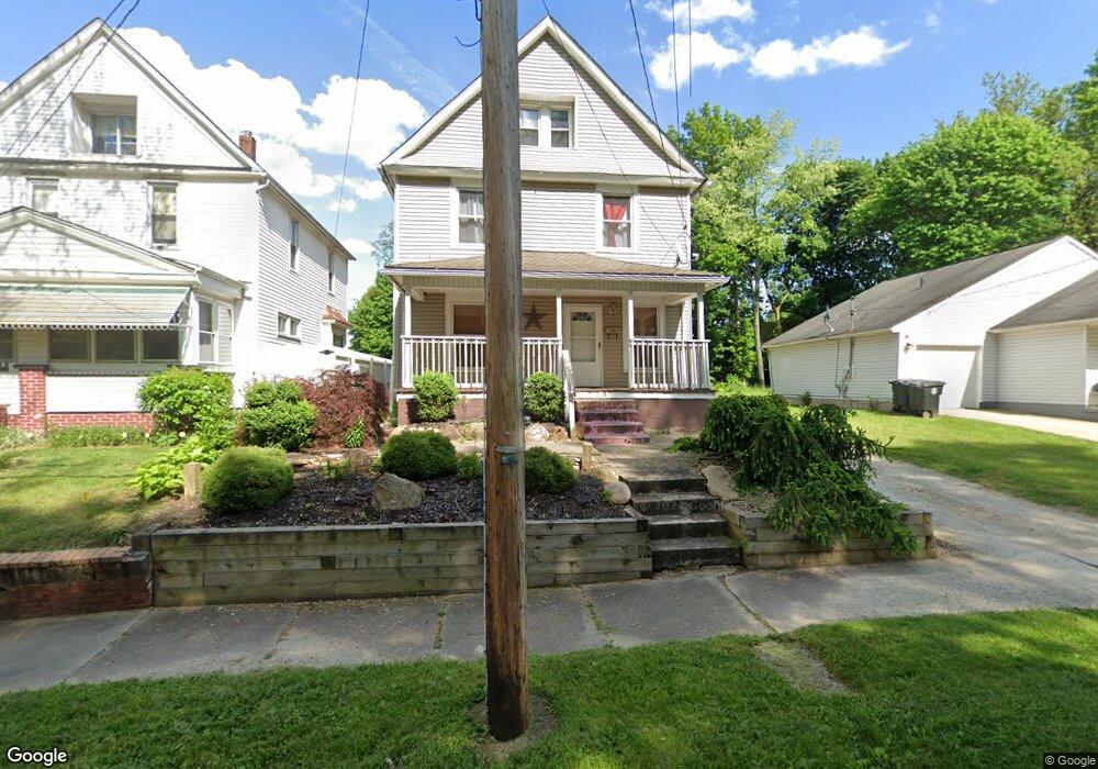
925 Raymond St Akron, OH 44307
Sherbondy Hill NeighborhoodEstimated Value: $78,411 - $92,000
4
Beds
1
Bath
1,832
Sq Ft
$46/Sq Ft
Est. Value
About This Home
This home is located at 925 Raymond St, Akron, OH 44307 and is currently estimated at $84,853, approximately $46 per square foot. 925 Raymond St is a home located in Summit County with nearby schools including St. Bernard-St. Mary Elementary School.
Ownership History
Date
Name
Owned For
Owner Type
Purchase Details
Closed on
Apr 17, 2014
Sold by
Smith Sharon D
Bought by
Padilla Aldo Hernandez
Current Estimated Value
Purchase Details
Closed on
Feb 3, 2006
Sold by
Smith John L
Bought by
Smith Sharon D
Purchase Details
Closed on
Feb 15, 2001
Sold by
Andrews Willie Mack and Andrews Annie L
Bought by
Smith Annie L and Smith John L
Purchase Details
Closed on
Dec 14, 1994
Sold by
Smith Annie L
Bought by
Andrews Willie Mack
Create a Home Valuation Report for This Property
The Home Valuation Report is an in-depth analysis detailing your home's value as well as a comparison with similar homes in the area
Home Values in the Area
Average Home Value in this Area
Purchase History
We collect this data history from publicly available records. To have your information removed, we recommend requesting removal directly through your county’s website.
| Date | Buyer | Sale Price | Title Company |
|---|---|---|---|
| Padilla Aldo Hernandez | $12,500 | None Available | |
| Smith Sharon D | $34,840 | None Available | |
| Smith Annie L | $21,490 | -- | |
| Andrews Willie Mack | $1,000 | -- |
Source: Public Records
Tax History
| Year | Tax Paid | Tax Assessment Tax Assessment Total Assessment is a certain percentage of the fair market value that is determined by local assessors to be the total taxable value of land and additions on the property. | Land | Improvement |
|---|---|---|---|---|
| 2024 | $778 | $13,728 | $3,357 | $10,371 |
| 2023 | $778 | $13,728 | $3,357 | $10,371 |
| 2022 | $601 | $8,075 | $1,974 | $6,101 |
| 2021 | $601 | $8,075 | $1,974 | $6,101 |
| 2020 | $593 | $8,070 | $1,970 | $6,100 |
| 2019 | $522 | $6,330 | $2,720 | $3,610 |
| 2018 | $516 | $6,330 | $2,720 | $3,610 |
| 2017 | $531 | $6,330 | $2,720 | $3,610 |
| 2016 | $531 | $6,430 | $2,720 | $3,710 |
| 2015 | $531 | $6,430 | $2,720 | $3,710 |
| 2014 | $540 | $6,430 | $2,720 | $3,710 |
| 2013 | $574 | $7,050 | $2,720 | $4,330 |
Source: Public Records
Map
Nearby Homes
- 921 Raymond St
- 929 Raymond St
- 939 Raymond St
- 400 Campbell St
- 928 Nathan St
- 396 Campbell St
- 932 Nathan St
- 943 Raymond St
- 918 Raymond St
- 928 Raymond St
- 386 Campbell St
- 928 1/2 Nathan St
- 924 Nathan St
- 936 Nathan St Unit 938
- 936 Nathan St Unit 938
- 936 Nathan St
- 945 Raymond St
- 384 Campbell St
- 903 Raymond St
- 940 Raymond St
Your Personal Tour Guide
Ask me questions while you tour the home.